Want more images or videos?
Request additional images or videos from the seller.

Unknown
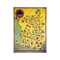
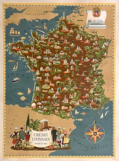
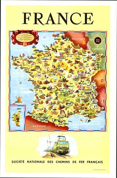
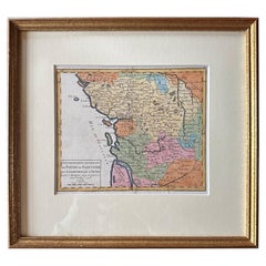
Circa 1950 original illustrated map for "Carte France autour de Bordeaux"

Circa 1950

$456.92
£340.16
€480VAT Included
CA$641.56
A$662.24
CHF 373.27
MX$8,567.86
NOK 4,258.63
SEK 4,492.66
DKK 3,049.54

About the Item

The circa 1950 original illustrated map for "Carte France autour de Bordeaux" is an excellent representation of mid-20th century cartography, focusing on the area surrounding Bordeaux, a region renowned for its wine production, history, and scenic beauty. Produced during the 1950s, this map was designed to serve as both a practical guide for travelers and a charming visual representation of the Bordeaux region. Illustrated maps like this were widely used during the period as they combined detailed geographic information with artistic elements that highlighted significant landmarks and natural features. The map offers insight into the key cultural and historical areas surrounding Bordeaux, such as the famed vineyards and countryside, as well as regional towns and natural landmarks. During the 1950s, illustrated maps like this also played a role in promoting tourism, as France experienced an increase in domestic and international visitors during the post-war years. Reflecting the artistic style of the mid-20th century, this map blends practicality with visual appeal, offering a sense of place that showcases the beauty and significance of Bordeaux and its surrounding areas. The map is a valuable historical piece and a collectible for anyone interested in French geography, regional heritage, and mid-century design. Illustrated document Tourism - Bordeaux - Map
  • Creation Year:
    Circa 1950
  • Dimensions:
    Height: 20.48 in (52 cm)Width: 17.72 in (45 cm)
  • Medium:
  • Period:
  • Condition:
    Good condition, folds, on linen.
  • Gallery Location:
    PARIS, FR
  • Reference Number:
    1stDibs: LU1792215440272

More From This Seller

View All
1947 original map Gouvernement Généraux du Poitou, du Pays d'Aunis

1947 original map Gouvernement Généraux du Poitou, du Pays d'Aunis

By Louis Larmat

Located in PARIS, FR

The 1947 original map Gouvernement Généraux du Poitou, du Pays d'Aunis et de Saintonge Angoumois, created by Louis Larmat and printed by Dorel in Paris, is a beautifully detailed cartographic representation of a historically significant region in western France. This map, part of Larmat’s extensive body of work, is known for its artistic craftsmanship and geographical precision, offering a comprehensive view of the historical administrative regions of Poitou, Aunis, Saintonge, and Angoumois, which played key roles in the political and cultural history of France. Louis Larmat is celebrated for his contributions to cartography, particularly for his ability to merge historical context, topographical detail, and aesthetic elegance in his maps. His works, especially those focusing on the vinicultural regions of France, are highly respected for their accuracy and artistry. This particular map, although focusing on a more political and historical aspect rather than the wine regions he is most famous for, continues his tradition of detailed regional documentation. Larmat’s cartographic works often transcended the realm of simple geographical depiction, becoming historical documents that encapsulate the cultural essence of the regions they portray. This map illustrates the general governments (administrative divisions) of the provinces of Poitou, Aunis, Saintonge, and Angoumois, regions that are steeped in history. These areas, situated along France’s western coastline, have been integral to the country’s political, economic, and cultural development over centuries. The region of Poitou, for example, is historically known as the birthplace of Eleanor of Aquitaine...

Category

1940s Prints and Multiples

Materials

Paper, Lithograph

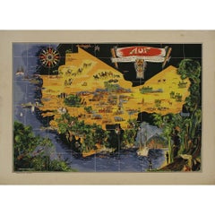
Original map poster by G. Carriat Rolant for AOF (Afrique Occidentale Française)

Original map poster by G. Carriat Rolant for AOF (Afrique Occidentale Française)

Located in PARIS, FR

The circa 1950 original map poster by G. Carriat Rolant for AOF (Afrique Occidentale Française) is a notable example of mid-20th-century cartographic art and colonial-era representation. Numbered 584 out of 1000, this limited-edition piece was edited by Paul Bory...

Category

1950s Prints and Multiples

Materials

Paper, Lithograph

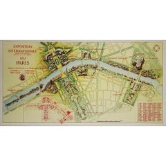
1937 original poster illustrated map of the Exposition Internationale

1937 original poster illustrated map of the Exposition Internationale

Located in PARIS, FR

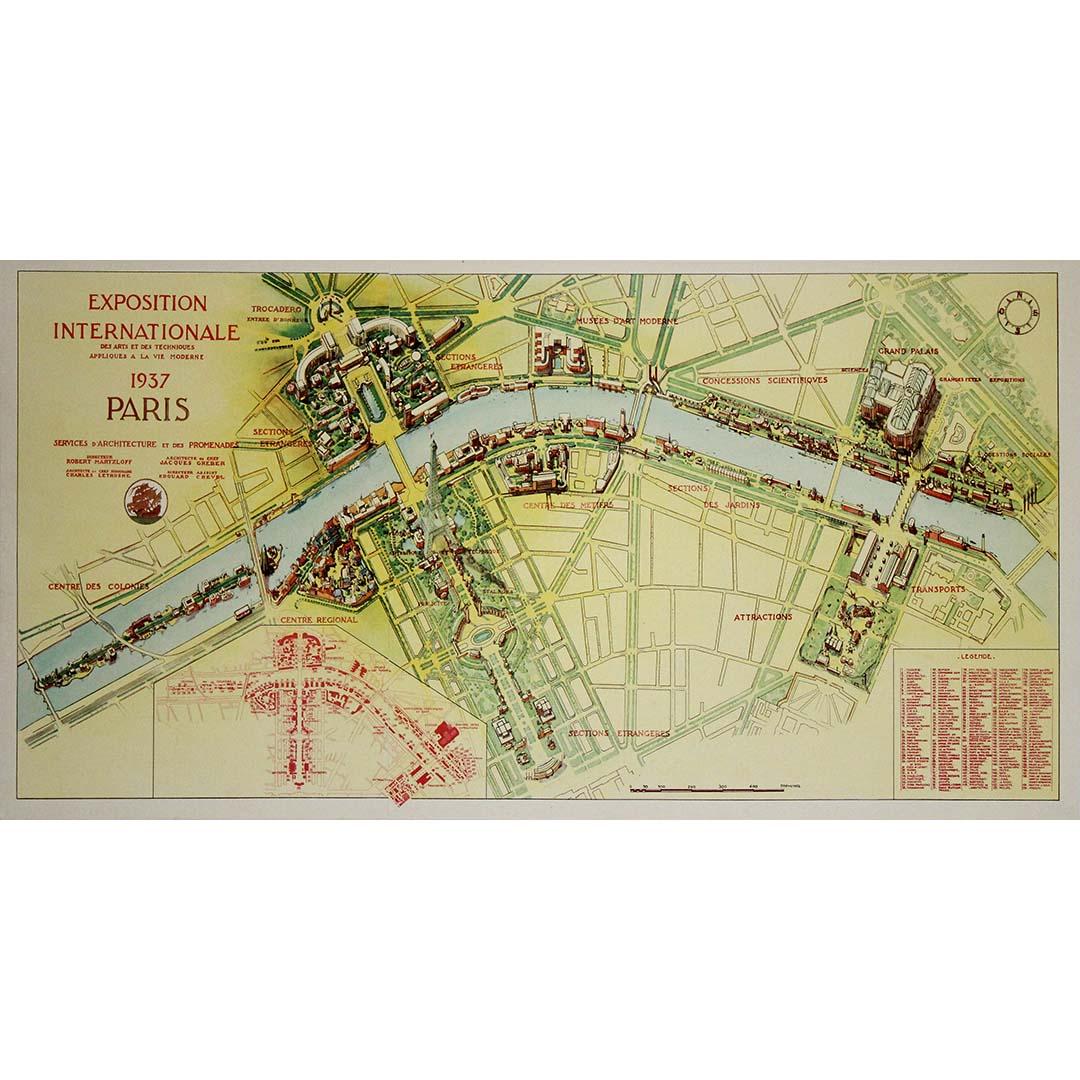
This 1937 original poster presents a detailed illustrated map of the Exposition Internationale des Arts et Techniques dans la Vie Moderne, held in Paris. The International Exposition...

Category

1930s Prints and Multiples

Materials

Paper, Lithograph, Linen

You May Also Like

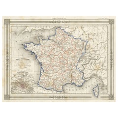
Antique Map of France in Provinces, with Inset of Paris

Antique Map of France in Provinces, with Inset of Paris

Located in Langweer, NL

Antique map titled 'France par Provinces'. Original antique map of France in Provinces. It covers from the Flanders in the north to Roussillon in the south and from Brittany in the w...

Category

Antique Mid-19th Century Maps

Materials

Paper

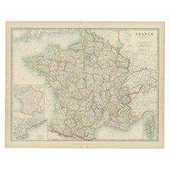
Antique Map of France by Johnston (1909)

Antique Map of France by Johnston (1909)

Located in Langweer, NL

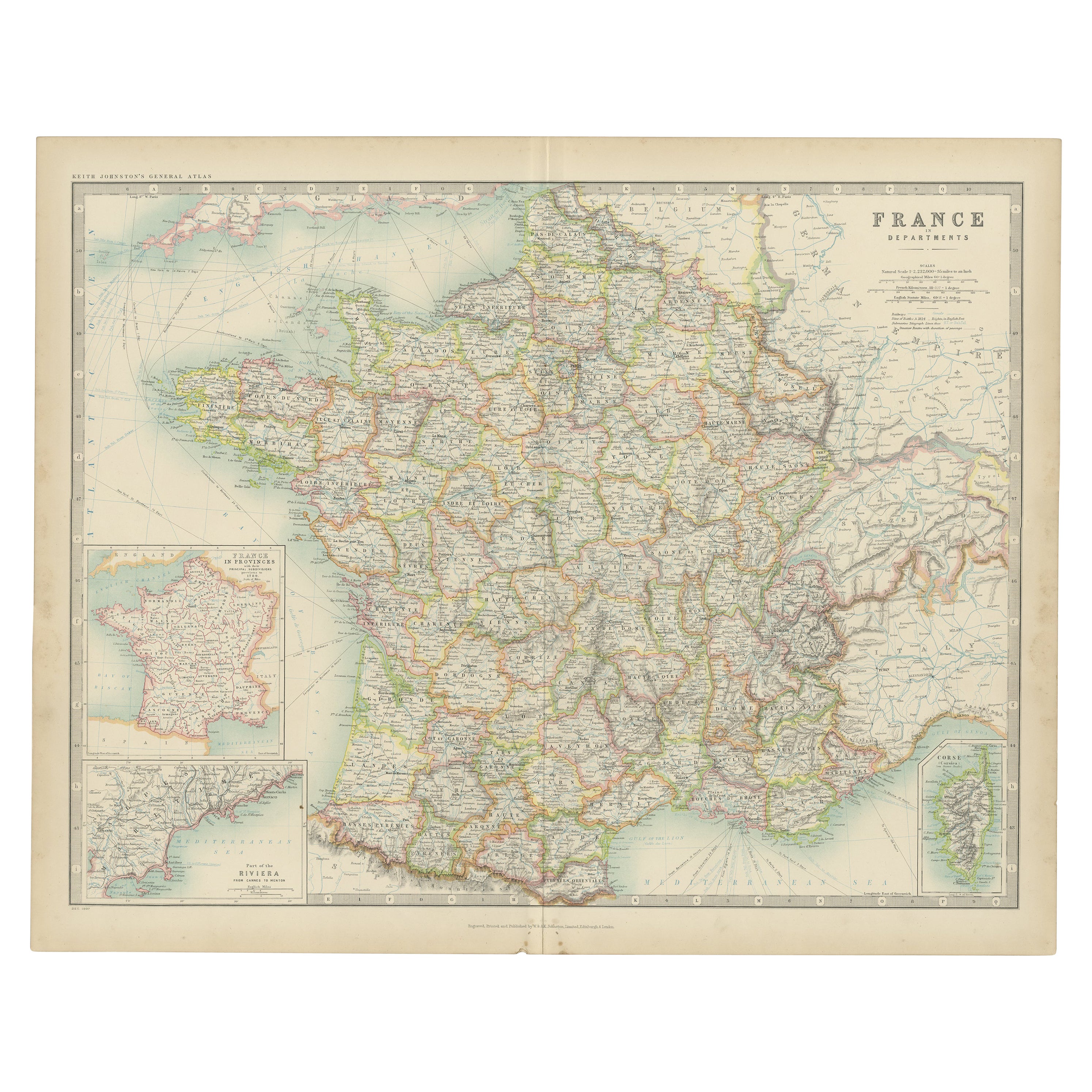
Antique map titled 'France'. Original antique map of France. With inset maps of France in provinces, part of the Riviera and Corsica. This map or...

Category

Early 20th Century Maps

Materials

Paper

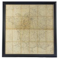
Large 19th Century Map of France

Large 19th Century Map of France

Located in Pease pottage, West Sussex

Large 19th Century Map of France. Remarkable condition, with a pleasing age worn patina. Recently framed. France Circa 1874.

Category

Antique Late 19th Century French Maps

Materials

Linen, Paper

Original Antique Map of West Central France in Frame, 1748

Original Antique Map of West Central France in Frame, 1748

Located in Langweer, NL

A nicely framed and hand-coloured decorative map titled "Gouvernemens Generaux De Poitou et De Saintonge" and engraved by M. Robert. This historical international map includes several specific locations, such as the Isle Dieu, Bretagne, Anjou, Touraine, Angoumois, Perigold, Saintonge, Mer de Gascogne (Bay of Biscay), Poitou, Aunis, Guienne, la Garonne Riviere (Garonne River), and Loudunois, as well as the Tour de Cordouan (Cordouan Lighthouse). Featured towns on this map include Tonnay, Talmont, Loudun, Mortemer, Poitiers, Chalais, Riberac, Angoule, Marton, Blaye, and Monbrun. This antique map represents the west-central region of France. The theme of the atlas from which this map originates is the "Atlas Portatif Universel Et Militaire" by M. Robert. The source description indicates that this atlas is a portable, universal, and military collection...

Category

Antique 1740s Maps

Materials

Paper