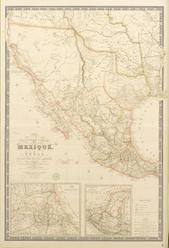
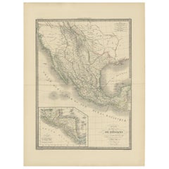
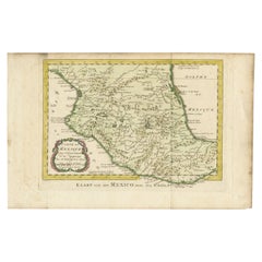
Antique Map Mexico

to
2
48
13

Use search to find more

39
19
16
16
14
7
7
6
5
5
4
4
2
2
2
2
2
1
1
1
1
1
1
1
1
1
1
1
1
1
1
4
1
1
1
1

Use search to find more

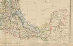
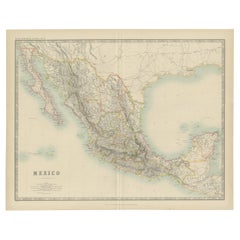
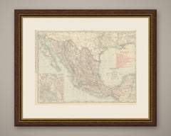
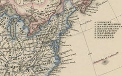
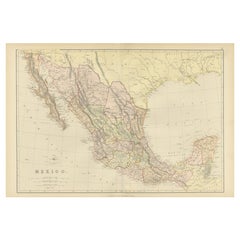
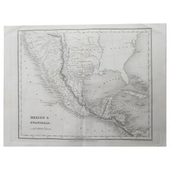
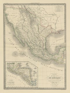
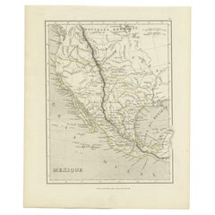
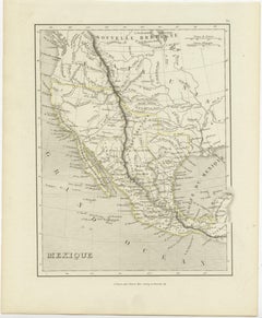
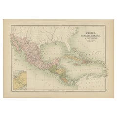
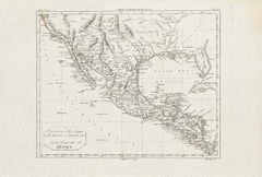
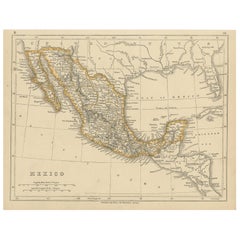
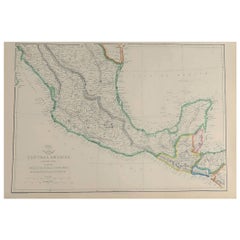
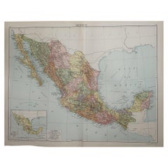
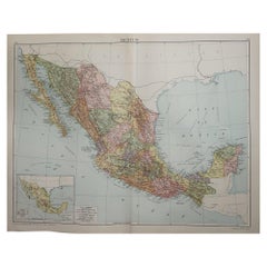
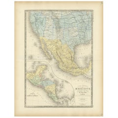
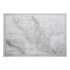
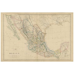
Mexico, Antique Map, Central America and Gulf of Mexico, Blackie Atlas 1860

Mexico, Antique Map, Central America and Gulf of Mexico, Blackie Atlas 1860

Located in Langweer, NL

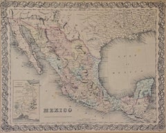
Mexico, Antique Map, Central America and Gulf of Mexico, Blackie Atlas 1860 Description: This original antique map titled Mexico presents a detailed mid-19th-century view of Mexico ...

Category

Mid-19th Century British Antique Map Mexico

Materials

Paper

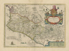
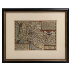
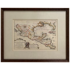
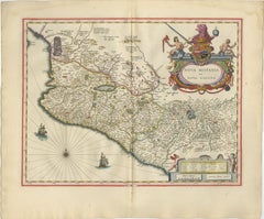
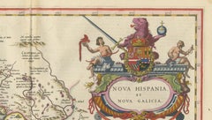
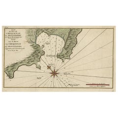
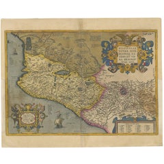
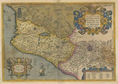
Antique Map of Southern Mexico & New Galicia, Janssonius, Amsterdam c.1650

Antique Map of Southern Mexico & New Galicia, Janssonius, Amsterdam c.1650

Located in Langweer, NL

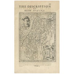
Technique: Hand-colored copperplate engraving Maker: Johannes Janssonius, Amsterdam, circa 1650 Keywords: Mexico map, New Spain map, Nova Hispania, Janssonius map, colonial Mexico,...

Category

Mid-17th Century Dutch Antique Map Mexico

Materials

Paper

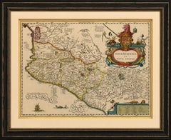
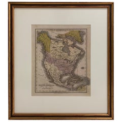
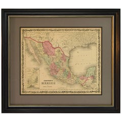
Framed 1838 Mexico & Gulf of Mexico Map

Framed 1838 Mexico & Gulf of Mexico Map

Located in Stamford, CT

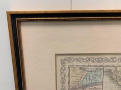
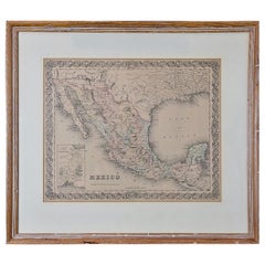
Framed 1838 Mexico & Gulf of Mexico map. Printed by Fisher, Son & Co. of London in 1838.

Category

1830s English American Classical Antique Map Mexico

Materials

Glass, Wood, Paper

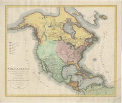
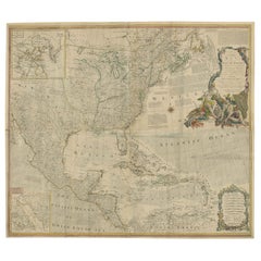
Large Antique Map of North America, United States & Canada, 1806

Large Antique Map of North America, United States & Canada, 1806

Located in Langweer, NL

KEYWORDS: Antique map North America, North America map, United States map, Canada map, Mexico map, 1806 map, large antique map, Joseph Marx von Liechtenstern, Liechtenstern map, Mart...

Category

Early 19th Century Austrian Neoclassical Antique Map Mexico

Materials

Paper

1826 Antigo Impero Messicano Mexico Hand Colored Framed Map

1826 Antigo Impero Messicano Mexico Hand Colored Framed Map

Located in Stamford, CT

1826 Antigo Impero Messicano Mexico Hand Colored Framed Map. As found black wood frame.

Category

1820s Mexican Spanish Colonial Antique Map Mexico

Materials

Glass, Wood, Paper

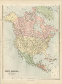
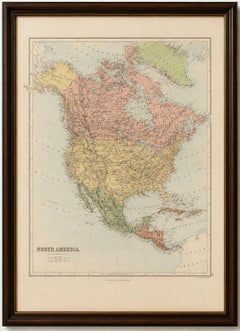
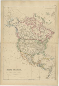
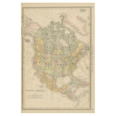
Antique Map of North America by Blackie & Son, Colored, 1882

Antique Map of North America by Blackie & Son, Colored, 1882

Located in Langweer, NL

Title: North America, Antique Map, United States, Canada and Mexico, Blackie 1860 Description: This original antique map titled *North America* presents a comprehensive mid-19th-cen...

Category

1880s British Antique Map Mexico

Materials

Paper

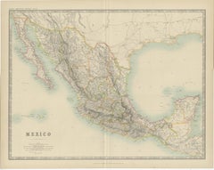
Antique Map of Mexico by Johnston, '1909'

Antique Map of Mexico by Johnston, '1909'

Located in Langweer, NL

Antique map titled 'Mexico'. Original antique map of Mexico.

Category

Early 20th Century Antique Map Mexico

Materials

Paper

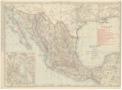
Antique Map of Mexico, with Valley of Mexico Inset, Rand McNally, 1899

Antique Map of Mexico, with Valley of Mexico Inset, Rand McNally, 1899

By Rand McNally & Co.

Located in Langweer, NL

Rand McNally's antique map of Mexico, a double-page spread on pages 394 and 395 of the firm's 1899 indexed atlas, shows the Republic of Mexico from the Sonora and Arizona border in t...

Category

Late 19th Century American Antique Map Mexico

Materials

Paper

1608 Hispaniae Novae Sive Magnae Vera Descriptio Framed Mexico Map

1608 Hispaniae Novae Sive Magnae Vera Descriptio Framed Mexico Map

Located in Stamford, CT

This map is based on the work of Abraham Ortelius as is an example of one of the earliest obtainable separately published maps of Mexico.

Category

Early 1600s Mexican Spanish Colonial Antique Map Mexico

Materials

Glass, Wood, Paper

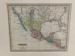
1830 Mexico and United States Framed Map

1830 Mexico and United States Framed Map

Located in Stamford, CT

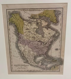
Map of North America published circa 1830. Map shows United States into Canada.

Category

1830s American American Classical Antique Map Mexico

Materials

Glass, Wood, Paper

Large Antique Map of North & South America by Weiland, 1826

Large Antique Map of North & South America by Weiland, 1826

Located in Langweer, NL

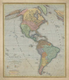
KEYWORDS: Carl Ferdinand Weiland, C F Weiland, America map, map of the Americas, antique map America, North America map, South America map, United States map, Canada map, Mexico map,...

Category

Early 19th Century Austrian Neoclassical Antique Map Mexico

Materials

Paper

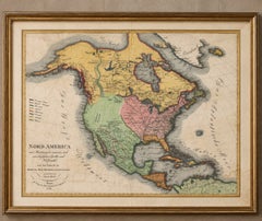
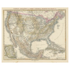
United States, Canada & Mexico – 1857 North America Map

United States, Canada & Mexico – 1857 North America Map

Located in Langweer, NL

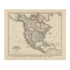
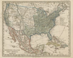
North America Map – United States, Canada, Mexico 1857 This impressive antique print shows “Nord-America” meaning “North America,” published in 1857 by Justus Perthes in Gotha as pa...

Category

Mid-19th Century German Antique Map Mexico

Materials

Paper

1705 Golfe de Mexico and Florida Framed Map

1705 Golfe de Mexico and Florida Framed Map

Located in Stamford, CT

Framed map of Mexico & Florida circa 1705, Paris. Small map with Mexico and the Gulf Coast.

Category

Early 1700s French Spanish Colonial Antique Map Mexico

Materials

Glass, Wood, Paper

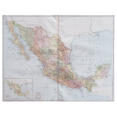
Large Original Vintage Map of Mexico, circa 1920

Large Original Vintage Map of Mexico, circa 1920

Located in St Annes, Lancashire

Great map of Mexico Original color. Good condition Published by Alexander Gross Unframed.

Category

1920s English Edwardian Antique Map Mexico

Materials

Paper

Antique North America Map, Canada, USA, Mexico, Bartholomew, 1884

Antique North America Map, Canada, USA, Mexico, Bartholomew, 1884

Located in Langweer, NL

Title: Antique North America Map, Canada, USA, Mexico, Bartholomew 1884 This attractive antique map of North America was produced by the renowned Scottish cartographer John Bartholo...

Category

Late 19th Century Scottish Antique Map Mexico

Materials

Paper

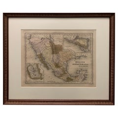
Large 1856 Mexico & Guatemala Framed Map by Charles Desilver

Large 1856 Mexico & Guatemala Framed Map by Charles Desilver

Located in Stamford, CT

Large 1856 Mexico & Guatemala Framed map. Published by Charles Desilver, Philadelphia, Pennsylvania.

Category

1850s American American Classical Antique Map Mexico

Materials

Glass, Wood, Paper

1834 Mexico & Guatemala Framed Map by H.S. Tanner

1834 Mexico & Guatemala Framed Map by H.S. Tanner

Located in Stamford, CT

1834 Mexico & Guatemala map of published by H.S. Tanner, Philadelphia, Pennsylvania.

Category

1830s American American Classical Antique Map Mexico

Materials

Glass, Wood, Paper

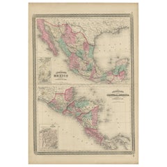
Antique Map of Mexico and Central America by Johnson '1872'

Antique Map of Mexico and Central America by Johnson '1872'

Located in Langweer, NL

Antique map titled 'Johnson's Mexico (..)'. Two maps one one sheet showing Mexico and Central America, with inset maps of Tehuantepec and Panama.

Category

Late 19th Century Antique Map Mexico

Materials

Paper

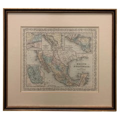
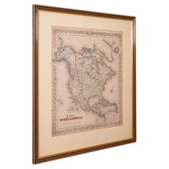
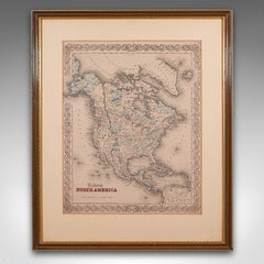
Antique North America Map, USA, Canada, Mexico, Cartography, Colton, Victorian

Antique North America Map, USA, Canada, Mexico, Cartography, Colton, Victorian

Located in Hele, Devon, GB

Fascinating, large framed map of the North American continent Displays a desirable aged patina and in good order Set within a quality, later frame behind clear, bright glass Shows th...

Category

Mid-19th Century American Victorian Antique Map Mexico

Materials

Paper

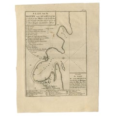
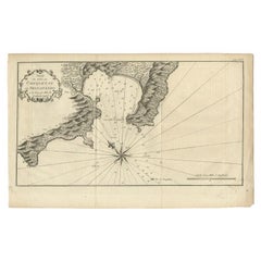
Antique Map of the Port of Acapulco in Mexico, 1749

Antique Map of the Port of Acapulco in Mexico, 1749

Located in Langweer, NL

Original antique map of the Port of Acapulco on the coast of Mexico in the Southern Sea, at 16°.45'.

Category

18th Century Antique Map Mexico

Materials

Paper

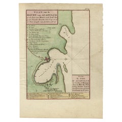
Antique Map of The Harbour of Acapulco in Mexico, 1749

Antique Map of The Harbour of Acapulco in Mexico, 1749

Located in Langweer, NL

Original antique map of the Port of Acapulco on the coast of Mexico in the Southern Sea, at 16°.45'.

Category

1740s Antique Map Mexico

Materials

Paper

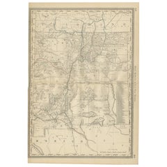
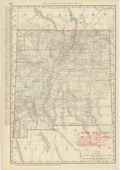
Antique Map of New Mexico Territory, Before Statehood, Rand McNally, 1899

Antique Map of New Mexico Territory, Before Statehood, Rand McNally, 1899

By Rand McNally & Co.

Located in Langweer, NL

This antique map of New Mexico, printed by Rand McNally in 1899 on page 330 of its indexed atlas, shows the Territory of New Mexico county by county, statehood not coming until 1912,...

Category

Late 19th Century American Late Victorian Antique Map Mexico

Materials

Paper

Antique Mexico Map Blaeu c.1642 – New Spain, Early Colonial Detail

Antique Mexico Map Blaeu c.1642 – New Spain, Early Colonial Detail

Located in Langweer, NL

Its rich detail and strong cartouche make it ideal for a study, office, or refined interior, particularly in American or Spanish-influenced design settings. Keywords: Mexico map, Ne...

Category

Mid-17th Century Dutch Antique Map Mexico

Materials

Paper

Antique Map of North America, Canada, United States and Mexico, 1860

Antique Map of North America, Canada, United States and Mexico, 1860

Located in Langweer, NL

Antique Map of North America, Canada, United States and Mexico, 1860 This impressive nineteenth-century map of North America was published by W.

Category

Mid-19th Century British Antique Map Mexico

Materials

Paper

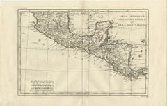
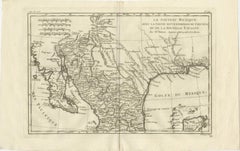
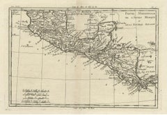
Southern Mexico & New Spain – Enlightenment Map by Rigobert Bonne, c.1780

Southern Mexico & New Spain – Enlightenment Map by Rigobert Bonne, c.1780

Located in Langweer, NL

Particularly effective as a wide-format focal piece. SEO keywords: Mexico antique map, New Spain antique map, Ancien Mexique map, Nouvelle Espagne map, Central America antique map, ...

Category

Late 18th Century French Antique Map Mexico

Materials

Paper

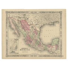
Johnson’s Mexico Map with Tehuantepec Inset, USA c.1864 – Hand-Colored

Johnson’s Mexico Map with Tehuantepec Inset, USA c.1864 – Hand-Colored

Located in Langweer, NL

Johnson’s Mexico Map with Tehuantepec Inset, USA c.1864 – Hand-Colored This is a finely engraved and hand-colored map titled Johnson’s Mexico, published by Johnson and Ward in New Y...

Category

Mid-19th Century American Antique Map Mexico

Materials

Paper

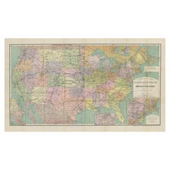
North America Antique Railroad Map c.1888 – U.S., Canada & Mexico

North America Antique Railroad Map c.1888 – U.S., Canada & Mexico

Located in Langweer, NL

For a continental statement piece, consider framing alongside the companion maps of the United States, Canada, Mexico, and Cuba.

Category

Late 19th Century American Antique Map Mexico

Materials

Paper

Original Antique Map of the Western Part of NEW MEXICO & CALIFORNIA

Original Antique Map of the Western Part of NEW MEXICO & CALIFORNIA

Located in Langweer, NL

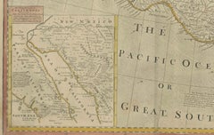
Title: "Map of the Western Part of NEW MEXICO and CALIFORNIA According to the Latest Discoveries by the Jesuits and Others" Description: This exquisite original Dutch map, titled "...

Category

1760s Antique Map Mexico

Materials

Paper

New Mexico & Northern New Spain – Enlightenment Map by Rigobert Bonne, c.1780

New Mexico & Northern New Spain – Enlightenment Map by Rigobert Bonne, c.1780

Located in Langweer, NL

Particularly effective as a wide-format statement piece. SEO keywords: New Mexico antique map, Northern New Spain map, Nouvelle Espagne antique map, Nouveau Mexique map, Texas antiq...

Category

Late 18th Century French Antique Map Mexico

Materials

Paper

Mexico Antique Railroad Map c.1888 – Cities, States & Land of the Aztecs

Mexico Antique Railroad Map c.1888 – Cities, States & Land of the Aztecs

Located in Langweer, NL

Antique Map of Mexico – Rand McNally, circa 1888 This antique map titled *“Rand, McNally & Co.’s Mexico”* was published around 1888 and depicts Mexico in the late 19th century, a pe...

Category

Late 19th Century American Antique Map Mexico

Materials

Paper

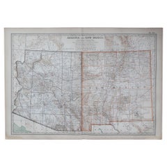
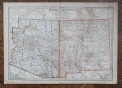
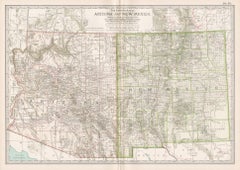
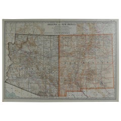
Original Antique Map of the American State of Arizona & New Mexico, 1903

Original Antique Map of the American State of Arizona & New Mexico, 1903

Located in St Annes, Lancashire

Antique map of Arizona and New Mexico Published By A & C Black. 1903 Original colour Good condition Unframed.

Category

Early 1900s English Antique Map Mexico

Materials

Paper

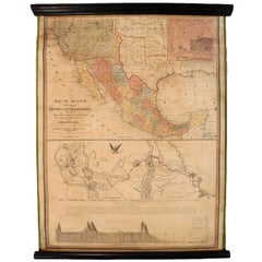
1847 Antique Map of Mexico, Texas and California by Samuel Augustus Mitchell

1847 Antique Map of Mexico, Texas and California by Samuel Augustus Mitchell

By Samuel Augustus Mitchell 1

Located in Colorado Springs, CO

Presented is the second edition of Samuel Augustus Mitchell's Map of Mexico, Including Yucatan & Upper California, an important map showing the progress of the Mexican-American War.

Category

1840s American Antique Map Mexico

Materials

Paper

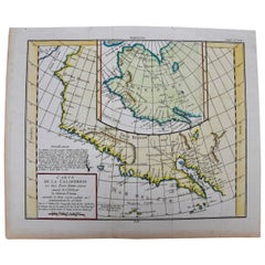
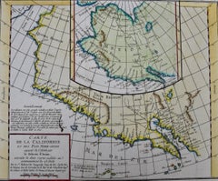
California, Alaska and Mexico: 18th Century Hand-Colored Map by de Vaugondy

California, Alaska and Mexico: 18th Century Hand-Colored Map by de Vaugondy

By Didier Robert de Vaugondy

Located in Alamo, CA

This is an 18th century hand-colored map of the western portions of North America entitled "Carte de la Californie et des Pays Nord-Ouest separés de l'Asie par le détroit d'Anian, ex...

Category

1770s French Antique Map Mexico

Materials

Paper

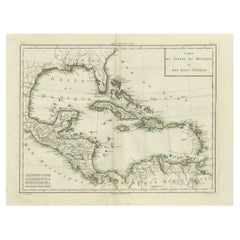
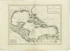
Antique Map of the Gulf of Mexico and Caribbean Islands by Tardieu, 1802

Antique Map of the Gulf of Mexico and Caribbean Islands by Tardieu, 1802

Located in Langweer, NL

This is an original antique map titled "Carte du Golfe du Mexique et des Isles Antilles," depicting the Gulf of Mexico and the Caribbean islands.

Category

Early 1800s Antique Map Mexico

Materials

Paper

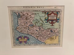
Framed Mercator Hondius Hispania Nova Atlas Minor Map

Framed Mercator Hondius Hispania Nova Atlas Minor Map

Located in Stamford, CT

The miniature version of the Mercator Hondius map of Mexico from the Atlas Minor, published by Claesz and Jan Jansson.

Category

17th Century Dutch Spanish Colonial Antique Map Mexico

Materials

Glass, Wood, Paper

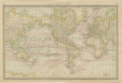
World Antique Map c.1888 – Rand McNally, Continents & Territories

World Antique Map c.1888 – Rand McNally, Continents & Territories

Located in Langweer, NL

Antique Map of Mexico – Rand McNally, circa 1888 This antique map titled “Rand, McNally & Co.’s Mexico” was published around 1888 and depicts Mexico in the late 19th century, a peri...

Category

Late 19th Century American Antique Map Mexico

Materials

Paper

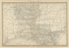
Louisiana Antique Map 1888 – The Pelican State, Railroads & Counties

Louisiana Antique Map 1888 – The Pelican State, Railroads & Counties

Located in Langweer, NL

The port of New Orleans remains central, serving as a major gateway for cotton, sugar, and lumber exports through the Gulf of Mexico. The map also depicts Louisiana’s borders with T...

Category

Late 19th Century American Antique Map Mexico

Materials

Paper

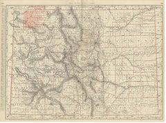
Antique Map of Colorado, The Centennial State, Rand McNally, 1899

Antique Map of Colorado, The Centennial State, Rand McNally, 1899

By Rand McNally & Co.

Located in Langweer, NL

Scale is given as 16 statute miles to the inch, and a note points to the adjoining Wyoming, Nebraska, Kansas, Oklahoma, New Mexico and Utah maps. Rand McNally, by the 1890s one of t...

Category

Late 19th Century American Late Victorian Antique Map Mexico

Materials

Paper

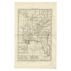
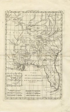
Antique Map Louisiana & Mississippi Valley — Florida Region, Bonne c.1780

Antique Map Louisiana & Mississippi Valley — Florida Region, Bonne c.1780

Located in Langweer, NL

Titled “Carte de la Louisiane et de la Floride,” the map provides a detailed overview of the Mississippi River basin and adjacent territories extending from the Illinois country in t...

Category

Late 18th Century French Antique Map Mexico

Materials

Paper

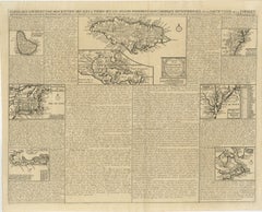
Rare French Colonial America Map, Jamaica Barbados Carolina, c.1719

Rare French Colonial America Map, Jamaica Barbados Carolina, c.1719

Located in Langweer, NL

The composition includes separately engraved maps of: * Jamaica, * Barbados, * New England, * Carolina, * Virginia, * Pennsylvania, * Bermuda, * Newfoundland, * and the broader Cari...

Category

Early 19th Century French Antique Map Mexico

Materials

Paper

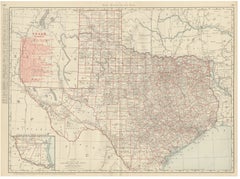
Antique Map of Texas, The Lone Star State, Rand McNally, 1899

Antique Map of Texas, The Lone Star State, Rand McNally, 1899

By Rand McNally & Co.

Located in Langweer, NL

Scale is given as 34 statute miles to the inch, and a note at the foot directs the reader to the adjoining Oklahoma, Indian Territory, Arkansas, Louisiana, Mexico and New Mexico maps...

Category

Late 19th Century American Late Victorian Antique Map Mexico

Materials

Paper

North America & the Pacific – Rigobert Bonne’s Enlightenment Map, c.1780

North America & the Pacific – Rigobert Bonne’s Enlightenment Map, c.1780

Located in Langweer, NL

This original antique engraving is offered unframed, enabling custom framing to personal or interior preferences. The map depicts Canada, Louisiana, New Mexico, and the eastern part...

Category

Late 18th Century French Antique Map Mexico

Materials

Paper

Map of the Pacific Ocean and Philippine Archipelago – Manila Observatory, 1899

Map of the Pacific Ocean and Philippine Archipelago – Manila Observatory, 1899

Located in Langweer, NL

Coast and Geodetic Survey’s Atlas of the Philippine Islands (Washington, 1900). The map shows the Pacific Ocean in exceptional geographic scope, extending from the eastern coast of ...

Category

1890s Philippine Antique Map Mexico

Materials

Paper

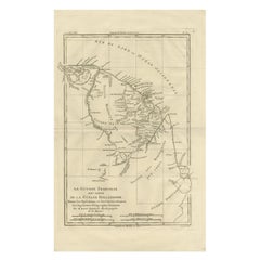
French Guiana & Suriname – Rigobert Bonne’s Colonial Map of the Guianas, c.1780

French Guiana & Suriname – Rigobert Bonne’s Colonial Map of the Guianas, c.1780

Located in Langweer, NL

The Caribbean & Gulf of Mexico – Rigobert Bonne’s Antilles Map, c.1780 Description: This detailed late 18th-century map depicts the Caribbean region and the Gulf of Mexico at a ...

Category

Late 18th Century French Antique Map Mexico

Materials

Paper

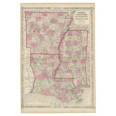
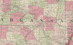
Rare 1864 Civil War Era Map of Arkansas, Mississippi, and Louisiana

Rare 1864 Civil War Era Map of Arkansas, Mississippi, and Louisiana

Located in Langweer, NL

A decorative border frames the map, adding to its antique charm, while the map includes notable geographical markers like the Mississippi River and the Gulf of Mexico coastline.

Category

1860s Antique Map Mexico

Materials

Paper

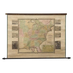
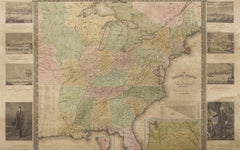
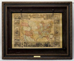
"The United States from the Latest Authorities" Antique Wall Map, 1835

"The United States from the Latest Authorities" Antique Wall Map, 1835

Located in Colorado Springs, CO

The primary map extends to Mexico Texas and the Missouri Territory, showing the course of the Missouri River to Ft.

Category

1830s American Antique Map Mexico

Materials

Paper

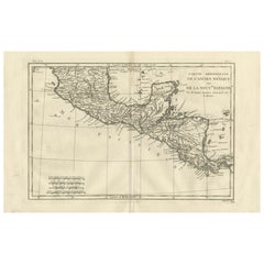
Antique French Engraving of Mexico with Lots of Details, c.1780

Antique French Engraving of Mexico with Lots of Details, c.1780

Located in Langweer, NL

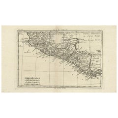
Detailed map of Mexico, the Yucatan and Central America, prepared under the direction of Rigobert Bonne.

Category

18th Century Antique Map Mexico

Materials

Paper

Navigational Chart of Mexico's Coast, with Acapulco and Port Marquis, 1748

Navigational Chart of Mexico's Coast, with Acapulco and Port Marquis, 1748

Located in Langweer, NL

Antique map titled 'The Form of cruising off Acapulca on the Coast of Mexico in the South Seas in the Year 1742. by His Majesty's Ships, Centurion, Gloucester, Tryall Prize, Carmila ...

Category

1740s Antique Map Mexico

Materials

Paper

1812 "United States of North America" Two-Sheet Map by Pierre François Tardieu

1812 "United States of North America" Two-Sheet Map by Pierre François Tardieu

By Pierre François Tardieu

Located in Colorado Springs, CO

The artist, Pierre François Tardieu (PF Tardieu) was a very well-known map engraver, geographer, and illustrator. Awarded a bronze medal by King Louis-Phillipe for the accuracy and b...

Category

1810s French Antique Map Mexico

Materials

Paper

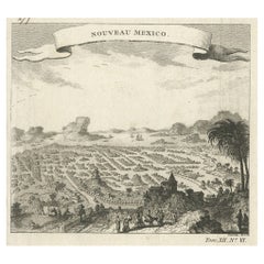
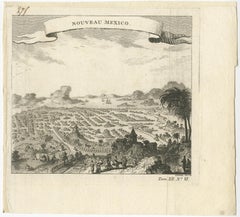
Antique Copper Engraving with a Panoramic View of Mexico City, ca.1760

Antique Copper Engraving with a Panoramic View of Mexico City, ca.1760

Located in Langweer, NL

Description: Antique print titled 'Nouveau Mexico'. Copper engraving with a panoramic view of Mexico city. Source unknown, to be determined. Artists and Engravers: Engraved after ...

Category

1760s Antique Map Mexico

Materials

Paper

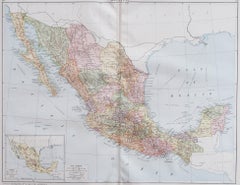
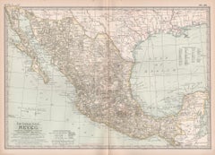
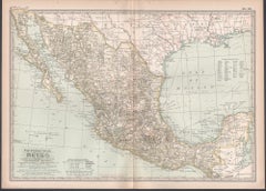
Mexico. Century Atlas antique vintage map

Mexico. Century Atlas antique vintage map

Located in Melbourne, Victoria

'The Century Atlas. Mexico.' Original antique map, 1903. Central fold as issued.

Category

Early 20th Century Victorian Antique Map Mexico

Materials

Lithograph

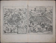
Mexico City & Cusco Antique Map, Civitates Orbis Terrarum by Braun & Hogenberg

Mexico City & Cusco Antique Map, Civitates Orbis Terrarum by Braun & Hogenberg

By Franz Hogenberg

Located in Roma, IT

Etching black and white from Civitates Orbis Terrarum. View of the Old Mexico City, built over the ruins of the Aztec city of Tenochtitlán from 1520, and Cusco, ancient capital of th...

Category

16th Century Northern Renaissance Antique Map Mexico

Materials

Etching

  • 1

Recent Sales

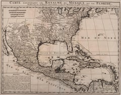
1719 Chatelain Map of Mexico, Southeast North America and the Caribbean

1719 Chatelain Map of Mexico, Southeast North America and the Caribbean

By Henri-Abraham Chatelain

Located in New York, NY

Original first edition 1719 engraved map, full title in French "Carte contenant royaume mexique et la floride, anno 1719, Chatelain Henri Carte Contenant Le Royaume Du Mexique Et La ...

Category

1710s Realist Antique Map Mexico

Materials

Engraving

Antique Map of Mexico by G. Mercator, 1637

Antique Map of Mexico by G. Mercator, 1637

Sold

H 11.03 in W 6.93 in D 0.02 in

Antique Map of Mexico by G. Mercator, 1637

Located in Langweer, NL

Classical map of Mexico from Tilapa to Catalutla and inland to Mexico City and Tecalco.

Category

Mid-17th Century Antique Map Mexico

Materials

Paper

Antique Map of Mexico by R. Bonne, circa 1780

Antique Map of Mexico by R. Bonne, circa 1780

Sold

H 10.24 in W 17.52 in D 0.02 in

Antique Map of Mexico by R. Bonne, circa 1780

Located in Langweer, NL

Detailed map of Mexico, the Yucatan and Central America, prepared under the direction of Rigobert Bonne.

Category

Late 18th Century Antique Map Mexico

Materials

Paper

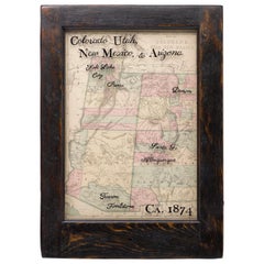
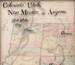
1874 Antique Map of Colorado, Utah, New Mexico, and Arizona

1874 Antique Map of Colorado, Utah, New Mexico, and Arizona

Located in Colorado Springs, CO

Presented is an original map of Colorado, Utah, New Mexico, and Arizona from 1874.

Category

1870s American Antique Map Mexico

Materials

Paper

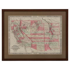
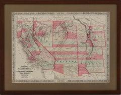
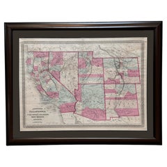
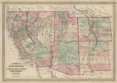
1865 "Johnson's California, Utah, Nevada, Colorado, New Mexico, Arizona" Map

1865 "Johnson's California, Utah, Nevada, Colorado, New Mexico, Arizona" Map

Located in Colorado Springs, CO

Presented is an original 1865 "Johnson's California, with Territories of Utah, Nevada, Colorado, New Mexico, and Arizona” map. First published in 1864, this map was issued as pages 6...

Category

Mid-19th Century Antique Map Mexico

Materials

Paper

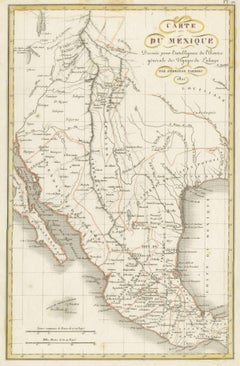
Antique Map of Texas, the Rocky Mountains, Southwest and Mexico

Antique Map of Texas, the Rocky Mountains, Southwest and Mexico

Located in Langweer, NL

Antique map titled 'Carte du Mexique'. Fine Humboldt inspired map of Mexico, in the midst of its struggle for Independence from Spain, published the same year as Moses Austin obtaine...

Category

Early 19th Century Antique Map Mexico

Materials

Paper

Republic of Texas and Mexico, Antique French Map, circa 1840

Republic of Texas and Mexico, Antique French Map, circa 1840

Located in Colorado Springs, CO

Included at bottom are inset maps of the eastern Mexican coast and Central America.

Category

1840s French Antique Map Mexico

Materials

Paper

Antique Map of Mexico, Texas and Upper California by Lapie, 1842

Antique Map of Mexico, Texas and Upper California by Lapie, 1842

Located in Langweer, NL

Antique map titled 'Carte des États-Unis du Méxique'. Map of Mexico, Texas and Upper California.

Category

Mid-19th Century Antique Map Mexico

Materials

Paper

Antique Map of the Western United States, Mexico and Texas as a Republic

Antique Map of the Western United States, Mexico and Texas as a Republic

Located in Langweer, NL

Antique map titled 'Mexique'. This map covers the western United States, Mexico and the independent Republic of Texas.

Category

Mid-19th Century Antique Map Mexico

Materials

Paper

Antique Map of the Gulf of Mexico and all the islands of the West Indies

Antique Map of the Gulf of Mexico and all the islands of the West Indies

Located in Langweer, NL

Antique map titled 'Carte du Golfe du Mexique'. This uncommon map depicts the Gulf of Mexico and all the islands of the West Indies.

Category

Early 19th Century Antique Map Mexico

Materials

Paper

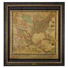
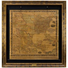
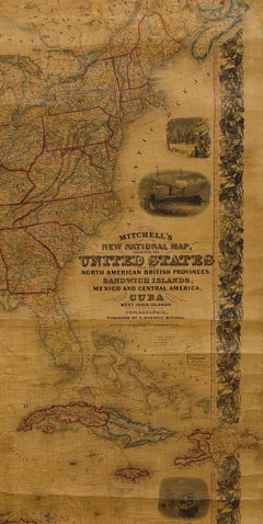
1858 "Mitchell's New National Map Exhibiting the United States" Hanging Wall Map

1858 "Mitchell's New National Map Exhibiting the United States" Hanging Wall Map

By Samuel Augustus Mitchell 1

Located in Colorado Springs, CO

Presented is a beautifully engraved, large hanging wall map of the United States, Mexico, and West Indies by Samuel Augustus Mitchell.

Category

1850s American Antique Map Mexico

Materials

Paper

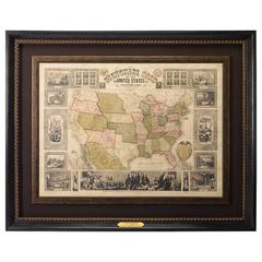
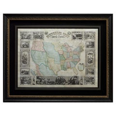
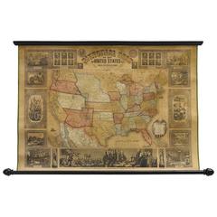
Atwood's Pictorial Map of the United States, circa 1854

Atwood's Pictorial Map of the United States, circa 1854

Located in Colorado Springs, CO

American Indian nations are identified throughout. A smaller map of Mexico appears on the lower left quadrant.

Category

1850s American Antique Map Mexico

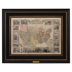
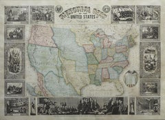
1848 "Pictorial Map of the United States" by Ensign & Thayer

1848 "Pictorial Map of the United States" by Ensign & Thayer

Located in Colorado Springs, CO

Offered is a scarce map of the United States and Mexico by Ensign and Thayer, dating to 1848.

Category

1840s Antique Map Mexico

Materials

Paper

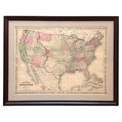
1866 "Johnson's United States" Map, Published by Johnson and Ward

1866 "Johnson's United States" Map, Published by Johnson and Ward

Located in Colorado Springs, CO

Presented is a detailed map of the United States by A. J. Johnson. Spanning the whole of the continental United States, as well as adjacent parts of Canada and Mexico, the map reflec...

Category

1860s American Victorian Antique Map Mexico

Materials

Paper

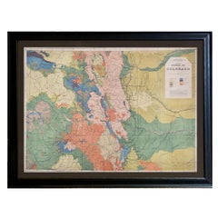
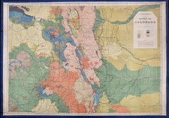
1877 General Geological Map of Colorado by F. V. Hayden

1877 General Geological Map of Colorado by F. V. Hayden

Located in Colorado Springs, CO

Department of the Interior. The maps from the “Atlas of Colorado” were produced based on extensive field work completed between 1873 to 1876, covering the state of Colorado, as well ...

Category

1870s American Antique Map Mexico

Materials

Paper

Mitchell's New National Wall Map Exhibiting the United States, circa 1856

Mitchell's New National Wall Map Exhibiting the United States, circa 1856

Located in Colorado Springs, CO

This is the first edition of Mitchell's important 1856 wall map of the United States, Mexico and the West Indies.

Category

1850s American Antique Map Mexico

1847 "Pictorial Map of the United States" by Ensign and Thayer

1847 "Pictorial Map of the United States" by Ensign and Thayer

Located in Colorado Springs, CO

Offered is a scarce map of the United States and Mexico by Ensign and Thayer.

Category

1840s American Antique Map Mexico

Materials

Paper

1870 "Johnson's California, also Utah, Nevada, Colorado, New Mexico, and Arizona

1870 "Johnson's California, also Utah, Nevada, Colorado, New Mexico, and Arizona

Located in Colorado Springs, CO

Presented is an original 1870 "Johnson's California, also Utah, Nevada, Colorado, New Mexico, and Arizona" map. First published in 1864, this map was issued as pages 79 and 80 in the...

Category

1870s American Victorian Antique Map Mexico

Materials

Paper

1855 Pictorial Map of the United States, Pub by Ensign, Bridgman & Fanning

1855 Pictorial Map of the United States, Pub by Ensign, Bridgman & Fanning

Located in Colorado Springs, CO

Indian nations are identified throughout. A smaller inset map of Mexico appears on the lower left quadrant.

Category

1850s American Antique Map Mexico

Materials

Paper

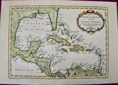
Gulf of Mexico, Florida, C. America, Cuba: 18th C. Hand-colored Map by Bellin

Gulf of Mexico, Florida, C. America, Cuba: 18th C. Hand-colored Map by Bellin

By Jacques-Nicolas Bellin

Located in Alamo, CA

The map depicts an inaccurately elongated Florida and a large Louisiana in the north, eastern portions of Mexico, Central America, northern portions of Venezuela, and the islands of ...

Category

1750s Antique Map Mexico

Materials

Engraving

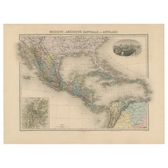
Historic French Map: Mexico, Central America, and the Antilles, c. 1850s

Historic French Map: Mexico, Central America, and the Antilles, c. 1850s

Located in Langweer, NL

This 19th-century French map titled "Mexique, Amérique Centrale et Antilles" offers a detailed and meticulously hand-colored depiction of Mexico, Central America, the Caribbean, and ...

Category

1850s Antique Map Mexico

Materials

Paper

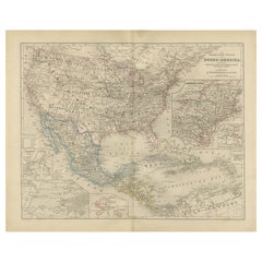
United States, Mexico & West Indies Map – Nieuwe Hand-Atlas, 1876

United States, Mexico & West Indies Map – Nieuwe Hand-Atlas, 1876

Located in Langweer, NL

United States, Mexico & West Indies Map – Nieuwe Hand-Atlas, 1876 This richly detailed 1876 map, titled “De Vereenigde Staten van Noord-Amerika, Mexico, West-Indië en de Vereenigde ...

Category

1870s Dutch Antique Map Mexico

Materials

Paper

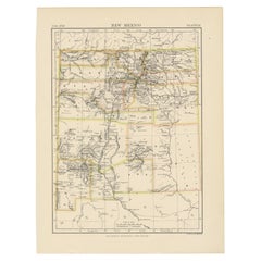
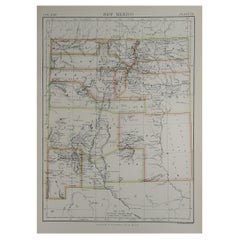
Antique Map of New Mexico

Antique Map of New Mexico

Sold

H 10.63 in W 8.27 in D 0.02 in

Antique Map of New Mexico

Located in Langweer, NL

Antique map titled 'New Mexico'. Original antique map of New Mexico, United States.

Category

Late 19th Century Antique Map Mexico

Materials

Paper

Original Antique Map of Mexico, 1889

Original Antique Map of Mexico, 1889

Sold

H 11 in W 15.5 in D 0.07 in

Original Antique Map of Mexico, 1889

Located in St Annes, Lancashire

Great map of Mexico Drawn and Engraved by W. & A.K.

Category

1880s Scottish Victorian Antique Map Mexico

Materials

Paper

Antique Map of Mexico by Lowry '1852'

Antique Map of Mexico by Lowry '1852'

Sold

H 9.65 in W 12.21 in D 0.02 in

Antique Map of Mexico by Lowry '1852'

Located in Langweer, NL

Antique map titled 'Mexico'. Original map of Mexico. This map originates from 'Lowry's Table Atlas constructed and engraved from the most recent Authorities' by J.W.

Category

Mid-19th Century Antique Map Mexico

Materials

Paper

Antique Map of Mexico by Wyld, '1845'

Antique Map of Mexico by Wyld, '1845'

Sold

H 10.24 in W 14.18 in D 0.02 in

Antique Map of Mexico by Wyld, '1845'

Located in Langweer, NL

Antique map titled 'Republic of Mexico'. Original antique map of Mexico.

Category

Mid-19th Century Antique Map Mexico

Materials

Paper

Original Antique Map of Mexico, circa 1890

Original Antique Map of Mexico, circa 1890

Sold

H 16.5 in W 11.75 in D 0.07 in

Original Antique Map of Mexico, circa 1890

Located in St Annes, Lancashire

Great map of Mexico Original color. Published, circa 1890 Repair to minor edge tear Unframed.   

Category

1890s English Other Antique Map Mexico

Materials

Paper

Large Original Antique Map of Mexico, 1861

Large Original Antique Map of Mexico, 1861

Sold

H 13 in W 19 in D 0.07 in

Large Original Antique Map of Mexico, 1861

Located in St Annes, Lancashire

Great map of Mexico Drawn and engraved by Edward Weller Original color outline Published in The Weekly Dispatch Atlas, 1861 A couple of repairs to some tiny edge tears ...

Category

1860s English Victorian Antique Map Mexico

Materials

Paper

Original Antique Map of the Mexican Port of Zihuatanejo, Mexico, 1749

Original Antique Map of the Mexican Port of Zihuatanejo, Mexico, 1749

Located in Langweer, NL

Map of the Mexican port of Zihuatanejo. This area was originally named Cihuatlán in Aztec, which means 'Place of Women,' referring to the matriarchal society that dominated the regio...

Category

1740s Antique Map Mexico

Materials

Paper

Map of Mexico by A. J. Johnson, Antique Atlas Map, circa 1861

Map of Mexico by A. J. Johnson, Antique Atlas Map, circa 1861

Located in Colorado Springs, CO

This is an attractive example of Johnson's 1861 map of Mexico. Presented is a 1861 map of Mexico published by A.

Category

1860s American Antique Map Mexico

Materials

Paper

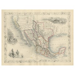
Texas California Mexico Map – Antique Tallis Map with Gold Region, c.1850

Texas California Mexico Map – Antique Tallis Map with Gold Region, c.1850

Located in Langweer, NL

Texas California Mexico Map – Antique Tallis Map with Gold Region, c.1850 This highly decorative and historically rich map titled 'Mexico, California and Texas' was published around...

Category

Mid-19th Century Antique Map Mexico

Materials

Paper

Antique Map of Mexico by Janssonius 'circa 1640'

Antique Map of Mexico by Janssonius 'circa 1640'

Sold

H 19.3 in W 22.64 in D 0.02 in

Antique Map of Mexico by Janssonius 'circa 1640'

Located in Langweer, NL

Antique map titled 'Nova Hispania, et Nova Galicia'. Original antique map of Mexico extending from just north of Mazatlan to Acapulco and from Tehuacan to the Sierra Madres, showing ...

Category

Mid-17th Century Antique Map Mexico

Materials

Paper

Large Original Vintage Map of Mexico, circa 1920

Large Original Vintage Map of Mexico, circa 1920

Located in St Annes, Lancashire

Great map of Mexico Original color. Good condition Published by Alexander Gross Unframed.

Category

1920s English Edwardian Antique Map Mexico

Materials

Paper

Large Original Vintage Map of Mexico, circa 1920

Large Original Vintage Map of Mexico, circa 1920

Located in St Annes, Lancashire

Great map of Mexico Original color. Good condition Published by Alexander Gross Unframed.  

Category

1920s English Edwardian Antique Map Mexico

Materials

Paper

Large Original Vintage Map of Mexico, circa 1920

Large Original Vintage Map of Mexico, circa 1920

Located in St Annes, Lancashire

Great map of Mexico Original color. Good condition Published by Alexander Gross Unframed.

Category

1920s English Edwardian Antique Map Mexico

Materials

Paper

Antique Map of Mexico by Ortelius, circa 1602

Antique Map of Mexico by Ortelius, circa 1602

Sold

H 16.93 in W 20.87 in D 0.02 in

Antique Map of Mexico by Ortelius, circa 1602

By Abraham Ortelius

Located in Langweer, NL

Antique map titled 'Hispaniae Novae Sivae Magnae Recens Et Vera Descriptio 1579'. Map of western New Spain, showing the recently-created Spanish settlements, many rivers, and large l...

Category

Early 17th Century Belgian Antique Map Mexico

Materials

Paper

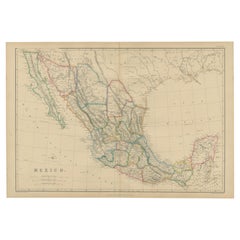
Antique Map of Mexico by W. G. Blackie, 1859

Antique Map of Mexico by W. G. Blackie, 1859

Sold

H 14.57 in W 21.26 in D 0.02 in

Antique Map of Mexico by W. G. Blackie, 1859

Located in Langweer, NL

Antique map titled 'Mexico'. Original antique map of Mexico.

Category

Mid-19th Century Antique Map Mexico

Materials

Paper

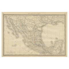
Decorative Antique Map of Central America and Mexico, 1875

Decorative Antique Map of Central America and Mexico, 1875

Located in Langweer, NL

Large map of the Central America and Mexico. This map originates from 'Atlas de Géographie Moderne Physique et Politique' by A.

Category

Late 19th Century Antique Map Mexico

Materials

Paper

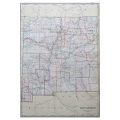
Large Original Antique Map of New Mexico, USA, 1894

Large Original Antique Map of New Mexico, USA, 1894

By Rand McNally & Co.

Located in St Annes, Lancashire

Fabulous map of New Mexico Original color By Rand, McNally & Co.

Category

1890s American Antique Map Mexico

Materials

Paper

Original Antique Map of Arizona and New Mexico, circa 1890

Original Antique Map of Arizona and New Mexico, circa 1890

Located in St Annes, Lancashire

Great map of Arizona and New Mexico Original color.

Category

1890s English Other Antique Map Mexico

Materials

Paper

Large Original Antique Map of New Mexico, Usa, C.1900

Large Original Antique Map of New Mexico, Usa, C.1900

Located in St Annes, Lancashire

Fabulous map of New Mexico. Original color. Engraved and printed by the George F.

Category

1890s American Antique Map Mexico

Materials

Paper

Large Original Antique Map of Mexico by Sidney Hall, 1847

Large Original Antique Map of Mexico by Sidney Hall, 1847

Located in St Annes, Lancashire

Great map of Mexico Drawn and engraved by Sidney Hall Steel engraving Original colour outline Published by A & C Black. 1847 Unframed Free shipping.

Category

1840s Scottish Antique Map Mexico

Materials

Paper

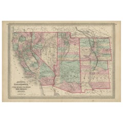
Antique Map of California, Utah, Nevada, Colorado, New Mexico & Arizona '1872'

Antique Map of California, Utah, Nevada, Colorado, New Mexico & Arizona '1872'

Located in Langweer, NL

Antique map titled 'Johnson's California (..)'. Original map of California, Utah, Nevada, Colorado, New Mexico and Arizona.

Category

Late 19th Century Antique Map Mexico

Materials

Paper

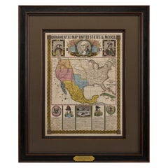
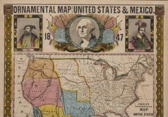
1847 Ornamental Map of the United States & Mexico by H. Phelps

1847 Ornamental Map of the United States & Mexico by H. Phelps

Located in Colorado Springs, CO

Offered is an original 1847 ornamental map of the U.S. entitled "Ornamental Map of the United States & Mexico" by Humphrey Phelps.

Category

1840s American Antique Map Mexico

Materials

Paper

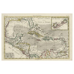
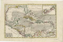
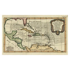
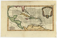
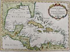
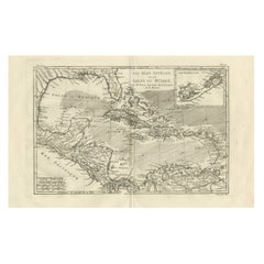
The Caribbean & Gulf of Mexico – Rigobert Bonne’s Antilles Map, c.1780

The Caribbean & Gulf of Mexico – Rigobert Bonne’s Antilles Map, c.1780

Located in Langweer, NL

The Caribbean & Gulf of Mexico – Rigobert Bonne’s Antilles Map, c.1780 Description: This detailed late 18th-century map depicts the Caribbean region and the Gulf of Mexico at a mome...

Category

Late 18th Century French Antique Map Mexico

Materials

Paper

Original Antique Map of The American State of New Mexico, 1889

Original Antique Map of The American State of New Mexico, 1889

Located in St Annes, Lancashire

Great map of New Mexico Drawn and engraved by W. & A.K.

Category

1880s Scottish Victorian Antique Map Mexico

Materials

Paper

North America Map with USA, Canada & Mexico – Nieuwe Hand-Atlas, 1876

North America Map with USA, Canada & Mexico – Nieuwe Hand-Atlas, 1876

Located in Langweer, NL

North America Map with USA, Canada & Mexico – Nieuwe Hand-Atlas, 1876 This finely engraved 19th-century map of “Noord-Amerika,” published in 1876 by D.

Category

1870s Dutch Antique Map Mexico

Materials

Paper

Antique Map of the Port of Zihuatanejo in Mexico, c.1740

Antique Map of the Port of Zihuatanejo in Mexico, c.1740

Located in Langweer, NL

Map of the Mexican port of Zihuatanejo. This area was originally named Cihuatlán in Aztec, which means 'Place of Women,' referring to the matriarchal society that dominated the regio...

Category

18th Century Antique Map Mexico

Materials

Paper

Antique Railway Map of North America, Canada and Mexico by Ravenstein, '1882'

Antique Railway Map of North America, Canada and Mexico by Ravenstein, '1882'

Located in Langweer, NL

Antique folding map titled 'Eisenbahn-Karte der Vereinigten-Staaten von Nord-Amerika, British Canada & Mexico'.

Category

Late 19th Century Antique Map Mexico

Materials

Paper

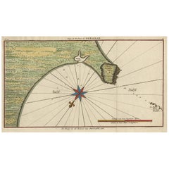
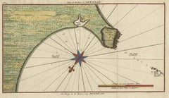
Original Antique Map of the Bay and Rocks of Petatlan, Mexico, 1749

Original Antique Map of the Bay and Rocks of Petatlan, Mexico, 1749

Located in Langweer, NL

Original antique map of the bay and rocks of Petatlan, Mexico. This map originates from 'Reize rondsom de Werreld (..)' by George Anson, published 1749.

Category

1740s Antique Map Mexico

Materials

Paper

Framed 19th Century Colton Map of Mexico, Texas, California and US Territories

Framed 19th Century Colton Map of Mexico, Texas, California and US Territories

By J.H. Colton

Located in Alamo, CA

Among the towns and cities depicted on the map are: San Diego, Tucson, Casa Grande, Austin, San Antonio, Laredo, Galveston, Corpus Christi, Brownsville, New Orleans, Mexico City and ...

Category

Mid-19th Century American Other Antique Map Mexico

Materials

Paper

Antique 18th Century Map of Mexico and Central America by Robert DeVaugody

Antique 18th Century Map of Mexico and Central America by Robert DeVaugody

Located in Philadelphia, PA

Simply a wonderful 18th Century Mexican map! Date: 1749 Overall Condition: It is in overall good, as-pictured, used estate condition.

Category

1740s French Baroque Antique Map Mexico

Materials

Paper

Antique Map of Florida and Georgia, Gulf of Mexico, Caribbean Islands, 1802

Antique Map of Florida and Georgia, Gulf of Mexico, Caribbean Islands, 1802

Located in Langweer, NL

Gulf of Mexico: - The map highlights the Gulf of Mexico coastline, showing various bays and inlets that were important for navigation and trade. 4.

Category

Early 1800s Antique Map Mexico

Materials

Paper

You May Also Like

Antique Map of South America by Philip & Son, 1875

Antique Map of South America by Philip & Son, 1875

Located in Langweer, NL

Antique map titled 'South America'. Old map of South America. Source unknown, to be determined. Artists and Engravers: George Philip (1800–1882) was a cartographer, map publisher...

Category

19th Century Antique Map Mexico

Materials

Paper

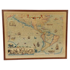
Framed Jodocus Hondius Hand-Coloured Engraved Map of the Americas

Framed Jodocus Hondius Hand-Coloured Engraved Map of the Americas

Located in Nottingham, GB

An elaborately decorative title cartouche bearing the word 'AMERICA' crowns this stereographic projection of the Western Hemisphere, enclosed within a moulded glazed wooden frame. Th...

Category

Early 17th Century Antique Map Mexico

Materials

Glass, Wood, Paper

Rare Antique Wall-Map of North America: French and Indian War Boundaries, 1793

Rare Antique Wall-Map of North America: French and Indian War Boundaries, 1793

Located in Langweer, NL

Rare 1793 Map of North America: French and Indian War Boundaries and Historical Notes This remarkable engraved map of North America, printed in 1793 by Emanuel Bowen and John Gibs...

Category

1790s Antique Map Mexico

Materials

Paper

1807 "A Map of the Country..." by Samuel Lewis, Revolutionary War Map

1807 "A Map of the Country..." by Samuel Lewis, Revolutionary War Map

Located in Colorado Springs, CO

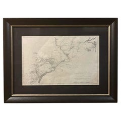
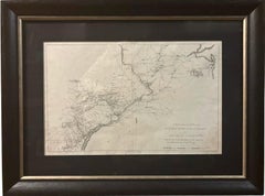
Presented is “A Map of the Country from Rariton River in East Jersey to Elk Head in Maryland, Shewing the several Operations of the American and British Armies, in 1776 & 1777.”  The...

Category

Early 1800s American Federal Antique Map Mexico

Materials

Paper

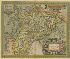
Antique Map of the Region of Salzburg by Ortelius 'circa 1606'

Antique Map of the Region of Salzburg by Ortelius 'circa 1606'

Located in Langweer, NL

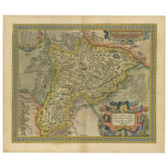
Antique map titled 'Salisburgensis Iurisdictionis'. Original antique map of the region of Salzburg, Austria. Published by A. Ortelius, circa 1606.

Category

Early 17th Century Antique Map Mexico

Materials

Paper

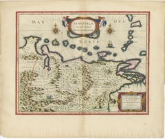
Blaeu Venezuela Map – Decorative Caribbean & Nueva Andalusia Chart 1642

Blaeu Venezuela Map – Decorative Caribbean & Nueva Andalusia Chart 1642

Located in Langweer, NL

Blaeu Venezuela Map – Decorative Caribbean & Nueva Andalusia Chart 1642 A highly decorative and historically important map of Venezuela and the northern coast of South America, publ...

Category

Mid-17th Century Dutch Antique Map Mexico

Materials

Paper

Framed 1839 Hand Colored Map of the United States

Framed 1839 Hand Colored Map of the United States

Located in Stamford, CT

Framed hand colored map of the United States of America from 1839. Newly framed in a giltwood frame.

Category

1830s American American Classical Antique Map Mexico

Materials

Giltwood, Paper, Glass

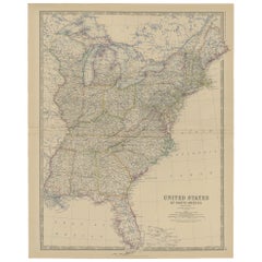
Antique Map of the United States of North America, c.1882

Antique Map of the United States of North America, c.1882

Located in Langweer, NL

Antique map titled 'United States of North America'. Old map of the United States of North America. This map originates from 'The Royal Atlas of Modern Geography, Exhibiting, in a Se...

Category

1880s Antique Map Mexico

Materials

Paper

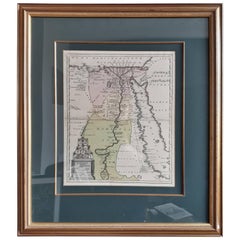
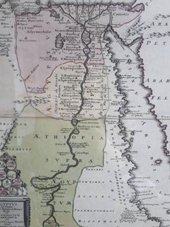
Original Antique Map of Egypt in Frame by C. Weigel, circa 1720

Original Antique Map of Egypt in Frame by C. Weigel, circa 1720

Located in Langweer, NL

The map is an antique depiction of ancient Egypt, divided into its regions and nomes, also including areas like Troglodytica, Marmarica, and Ethiopia above Egypt. Christophorus Weige...

Category

Early 18th Century German Antique Map Mexico

Materials

Paper

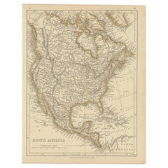
Antique Map of North America by Lowry '1852'

Antique Map of North America by Lowry '1852'

$170

H 12.21 in W 9.65 in D 0.02 in

Antique Map of North America by Lowry '1852'

Located in Langweer, NL

Antique map titled 'North America'. Original map of North America. This map originates from 'Lowry's Table Atlas constructed and engraved from the most recent Authorities' by J.W. Lo...

Category

Mid-19th Century Antique Map Mexico

Materials

Paper

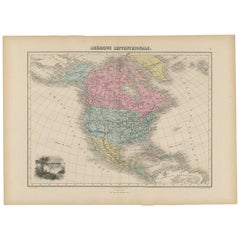
Antique Map of North and Central America by Migeon '1880'

Antique Map of North and Central America by Migeon '1880'

By J. Migeon

Located in Langweer, NL

Antique map titled 'Amérique Septentrionale'. Old map of North and Central America. With a decorative vignette of the Niagara Falls. This map originates from 'Géographie Universelle ...

Category

Late 19th Century French Antique Map Mexico

Materials

Paper

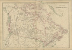
Antique Map of British North America, Canada and Hudson Bay, 1860

Antique Map of British North America, Canada and Hudson Bay, 1860

$421

H 15.36 in W 21.26 in D 0.01 in L 15.36 in

Antique Map of British North America, Canada and Hudson Bay, 1860

Located in Langweer, NL

Antique Map of British North America, Canada and Hudson Bay, 1860 This impressive large-format map of British North America was published by W. G. Blackie of Scotland around 1860 an...

Category

Mid-19th Century British Antique Map Mexico

Materials

Paper

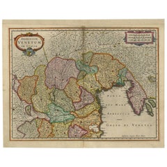
Antique Map of the Area Around Venice in Italy by H. Hondius, circa 1606

Antique Map of the Area Around Venice in Italy by H. Hondius, circa 1606

By Gerard Mercator, Jodocus Hondius

Located in Langweer, NL

Attractive and early map of the area around Venice, Italy. With South-Tirol in the North, areas of Krain (Slovenia), Croatia, Ferrara, Modena and Piacenza. In the east with areas aro...

Category

Early 17th Century Dutch Antique Map Mexico

Materials

Paper

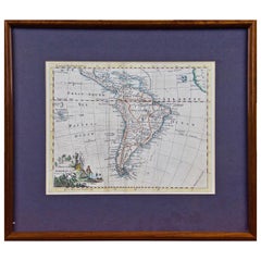
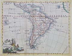
South America: Hand-colored 18th Century Framed Map by Thomas Jefferys

South America: Hand-colored 18th Century Framed Map by Thomas Jefferys

By Thomas Jefferys

Located in Alamo, CA

This detailed hand-colored map of South America by Thomas Jefferys was published in London in 1750. The map shows countries, early colonial possessions, towns, rivers, mountains, and...

Category

Mid-18th Century English Antique Map Mexico

Materials

Paper

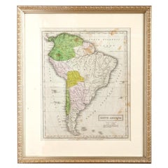
Victorian Hand-Colored Antique Map of South America, Late 19th Century

Victorian Hand-Colored Antique Map of South America, Late 19th Century

Located in Malibu, CA

Antique map of South America. Displayed in a new Roma frame with museum quality matting. Custom frame in platinum. No print date, but certification guarantees this hand colored map t...

Category

Late 19th Century Victorian Antique Map Mexico

Materials

Hardwood, Paper

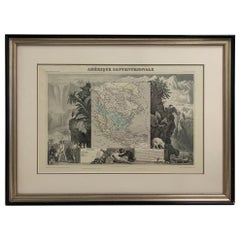
1847 Amerique Septentrionale Framed Map

1847 Amerique Septentrionale Framed Map

$850

H 19.75 in W 26 in D 1.75 in

1847 Amerique Septentrionale Framed Map

Located in Stamford, CT

1847 Amerique Septentrionale Framed Map Illustrated by Raimond Bonheur. As found framed condition.

Category

1840s American American Classical Antique Map Mexico

Materials

Glass, Wood, Paper

People Also Browsed

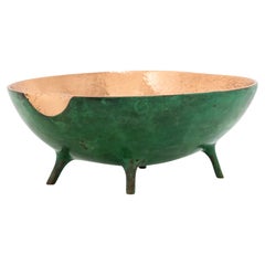
Verdigris Bronze Decorative Bowl with Legs, Vide-Poche

Verdigris Bronze Decorative Bowl with Legs, Vide-Poche

$170 / item

H 2.37 in W 5.91 in D 4.73 in

Verdigris Bronze Decorative Bowl with Legs, Vide-Poche

By The Design Foundry

Located in London, London

Charming and unusual handmade polished cast bronze bowl. Each of these original and elegant bowl is handmade individually. Cast using very traditional techniques, the inside is poli...

Category

2010s British Organic Modern Antique Map Mexico

Materials

Bronze

Regency Style Small Scale Brass Frame Glass Top Coffee Table Faux Bamboo Base

Regency Style Small Scale Brass Frame Glass Top Coffee Table Faux Bamboo Base

By Baker Furniture Company

Located in Stamford, CT

Great looking Regency style small scale coffee table, perfect proportions for an apartment or guest room. The heavy gauge brass shaped top sits on a faux bamboo base. A very appealin...

Category

Mid-20th Century American Regency Antique Map Mexico

Materials

Brass

Huge 18th Century French Rococo Old Master Oil Allegorical Nude Winged Lady

Huge 18th Century French Rococo Old Master Oil Allegorical Nude Winged Lady

Located in Cirencester, Gloucestershire

The Allegorical Winged Nude Lady, adorned with the attributes of Spring French School, 18th century (Rococo period) oil painting on canvas, unframed canvas: 30 x 52 inches provenance...

Category

18th Century Rococo Antique Map Mexico

Materials

Oil, Canvas

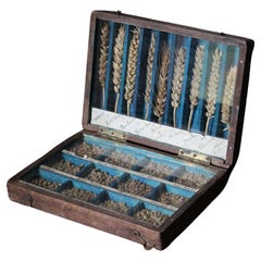
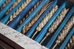
19th Century Glazed Specimen Box Containing Wheat Agricultural Scientific Curio

19th Century Glazed Specimen Box Containing Wheat Agricultural Scientific Curio

Located in Lowestoft, GB

A rustically produced 19th century glazed specimen box containing wheat and grain hybrids. The pine hinged box opens to reveal two glazed and segmented sections, with a painted blue...

Category

Mid-19th Century English Antique Map Mexico

Materials

Natural Fiber, Glass, Pine

Mid-17th-Century Madrid School, Saint Elijah

Mid-17th-Century Madrid School, Saint Elijah

Located in Cheltenham, GB

This commanding mid-17th-century Spanish Baroque painting depicts Saint Elijah wrapped in a coarse Carmelite habit and raising a flaming sword. Towering within the vertical composit...

Category

1650s Baroque Antique Map Mexico

Materials

Oil, Canvas

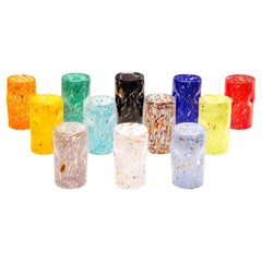
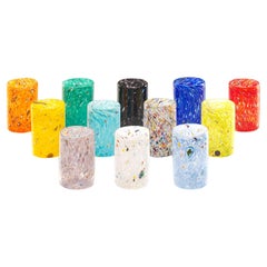
Set of 12 Handmade Unique Goto Murano Drinking Glasses

Set of 12 Handmade Unique Goto Murano Drinking Glasses

$528Sale Price / set|20% Off

H 4.14 in W 2.56 in D 4.14 in

Set of 12 Handmade Unique Goto Murano Drinking Glasses

By Roberto Beltrami

Located in Murano, VE

The Murano Glass Goto collection brings a piece of authentic Italian art to your dining table. Hand-blown with artistic expertise, these glasses are inspired by the traditional Venet...

Category

2010s Italian Minimalist Antique Map Mexico

Materials

Murano Glass

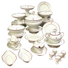
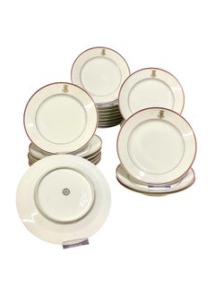
19th Century Sèvres Porcelain Dinner Set with Comital Coronet

19th Century Sèvres Porcelain Dinner Set with Comital Coronet

$3,800Sale Price / set|40% Off

H 10.63 in Dm 12.6 in

19th Century Sèvres Porcelain Dinner Set with Comital Coronet

By Manufacture Nationale de Sèvres

Located in LA CIOTAT, FR

This exquisite 52-piece porcelain dinner service, crafted by Sèvres in the 19th century, exemplifies the refined artistry and heritage of French porcelain. Each piece features a hand...

Category

19th Century French Antique Map Mexico

Materials

Porcelain

Spinosaurus Claw from Morocco Cretaceous period mounted on a custom acrylic box

Spinosaurus Claw from Morocco Cretaceous period mounted on a custom acrylic box

By Pietra Gallery

Located in Polanco, CDMX

Spinosaurus Claw Species: Spinosaurus Period: Cretaceous (approx. 112–93 million years ago) Origin: Morocco Dimensions: 18 × 6 × 11 cm This well-preserved fossil claw comes from Spi...

Category

2010s Mexican Organic Modern Antique Map Mexico

Materials

Acrylic

Carl Auböck Model #5371 'Heart' Polished Brass Paperweight

Carl Auböck Model #5371 'Heart' Polished Brass Paperweight

By Werkstätte Carl Auböck

Located in Los Angeles, CA

Carl Auböck Model #5371 'Heart' Polished Brass Paperweight Designed in the 1950s, this beautifully refined Viennese paperweight is hand-fabricated in polished brass by Werkstätte Ca...

Category

21st Century and Contemporary Austrian Mid-Century Modern Antique Map Mexico

Materials

Brass

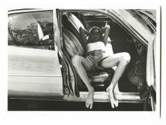
Kristine DeBell - Vintage Photo by Helmut Newton - 1970s

Kristine DeBell - Vintage Photo by Helmut Newton - 1970s

By Helmut Newton

Located in Roma, IT

Kristine DeBell is a  vintage photo, realized b Helmut Newton in the 1970s. The artwork represent fashion model and actress in 1970s. 

Category

1970s Contemporary Antique Map Mexico

Materials

Photographic Paper

Two Antique Iron Stag and Doe Garden Sculptures

Two Antique Iron Stag and Doe Garden Sculptures

$1,400 / set

H 23.5 in W 16.5 in D 5 in

Two Antique Iron Stag and Doe Garden Sculptures

Located in Bridgeport, CT

Two iron deer sculptures in original condition including a Stag and Doe. In a Black patinated finish, the Stag stands at alert while the Doe is in grazing form. Unmarked. With good w...

Category

Late 19th Century Rustic Antique Map Mexico

Materials

Iron

Gorgeous Wall HangingDisplay Shelf by Phillip Lloyd Powell

Gorgeous Wall HangingDisplay Shelf by Phillip Lloyd Powell

By Phillip Lloyd Powell

Located in BROOKLYN, NY

Amazing wall mounted shelf hand crafted in black walnut by Phillip Powell. Signature dovetailed edges and choice walnut stand in contrast with the grass cloth backing. Sculptural she...

Category

Mid-20th Century American Mid-Century Modern Antique Map Mexico

Materials

Walnut

Lucile White Vintage Oil painting on canvas, European Castle view, framed

Lucile White Vintage Oil painting on canvas, European Castle view, framed

Located in Palm Coast, FL

This is an original vintage oil painting on canvas by Lucile White. The central subject of the artwork is a castle or church, with a grand dome and an elaborate bell tower that pun...

Category

Early 20th Century Impressionist Antique Map Mexico

Materials

Oil

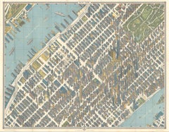
Hermann Bollmann New York City Bird’s-Eye Map for American Airlines, 1964

Hermann Bollmann New York City Bird’s-Eye Map for American Airlines, 1964

Located in Langweer, NL

Hermann Bollmann New York City Bird’s-Eye Map for American Airlines, 1964 DESCRIPTION: Original vintage pictorial map and travel guide to New York City, published for American Airli...

Category

Mid-20th Century American Mid-Century Modern Antique Map Mexico

Materials

Paper

Circa 1860 Pair of English Brass Push-Rod Candlesticks

Circa 1860 Pair of English Brass Push-Rod Candlesticks

$145 / set

H 9.75 in W 3.63 in D 3.63 in

Circa 1860 Pair of English Brass Push-Rod Candlesticks

Located in Chapel Hill, NC

Circa 1860 pair of brass push-rod candlesticks, English. Inverted beehive design. Lack push-discs. Square, cut-corner bases. 9.75" x 3 5/8" sq. We are a family business that has bee...

Category

1860s English Neoclassical Antique Map Mexico

Materials

Brass

Get Updated with New Arrivals
Save "Antique Map Mexico", and we’ll notify you when there are new listings in this category.

Antique Map Mexico For Sale on 1stDibs

Find many varieties of an authentic antique map mexico available at 1stDibs. Frequently made of paper, wood and glass, every antique map mexico was constructed with great care. Your living room may not be complete without an antique map mexico — find older editions for sale from the 18th Century and newer versions made as recently as the 20th Century. An antique map mexico made by Victorian designers — as well as those associated with Arts and Crafts — is very popular. Abraham Ortelius, Jacques-Nicolas Bellin and Didier Robert de Vaugondy each produced at least one beautiful antique map mexico that is worth considering.

Finding the Right Collectibles-curiosities for You

Antique and vintage collectibles and curiosities can bring whimsy and wonder to any interior. 

Decorating with old scientific instruments, historical memorabilia and vintage musical instruments, as well as other authentic collectibles and curiosities that can be found on 1stDibs, presents an opportunity to create a unique, natural history museum-like atmosphere in your home that can provoke conversation as often as it pays tribute to how far we’ve come in understanding our world. 

And bringing collectibles and curiosities into your space is actually on trend — Wunderkammern, or curiosity cabinets, were all the rage in Europe during the 1500s and continued to have adherents there and in the U.S. in the following centuries. Today, however, they’re experiencing a real surge in popularity and influencing how many interior designers are furnishing and decorating homes — combining contemporary with antique, scientific with tribal, earthly with extraterrestrial, Les Lalanne tables with Flemish tapestries.

The original Wunderkammern were entire rooms filled with objects demonstrating their owners’ worldly knowledge: A proper one included artificiala or preciosa (objets d’art); naturalia (such as skeletons, shells, minerals); exotica (taxidermy or dried plants); and scientifica (scientific instruments), frequently alongside religious relics and ancient artifacts.

Pay tribute to a history of rich and diverse musical traditions that have taken shape all over the world by decorating your home with a collection of antique and vintage musical instruments — with a little help from strong hanging wire or some wall hooks, vintage brass instruments such as a gong, French horn or trumpet can help elevate a home office or complement the efforts you’ve made to ensure a welcoming vibe in your home’s entryway. Bells or antique wind instruments can add provocative metallic contrasts to dark woods as tabletop decorative objects.  

Create an intriguing focal point with Georgian scientific instruments, such as stick barometers with mahogany cases or lacquered brass telescopes. These items stem from an era named for the monarchies of the four King Georges, who ruled England in succession starting in 1714 (plus King William’s reign, which lasted until 1837). Just as there was beautiful jewelry produced during the period that today is coveted by collectors, there is much to be found in the collectibles and curiosities realm too.

Wanderlust, nostalgia and a shared love of good design are contributing factors to certain trends in decorating — just as vintage trunks and luggage have reappeared as furniture or home accents in a bedroom or foyer, decorating with globes, maps or nautical objects is similarly rooted in the allure of travel and a penchant for the stylish finishing touch that collectibles bring to our homes.

Find a wide range of antique and vintage collectibles and curiosities on 1stDibs.
Read More