John Speed Maps

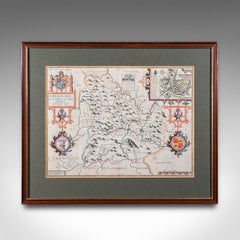
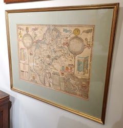
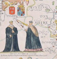
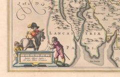
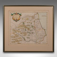
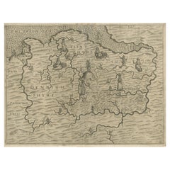
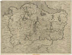
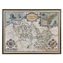
17th Century John Speed Map of Denbighshire, c.1610

17th Century John Speed Map of Denbighshire, c.1610

By John Speed

Located in Royal Tunbridge Wells, Kent

Antique early 17th century British very rare and original John Speed, hand coloured map of Denbighshire, dated 1610, by John Sunbury and George Humble.

Category

Antique 17th Century British Maps

Materials

Wood, Paper
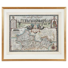
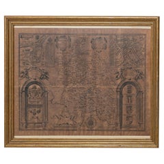
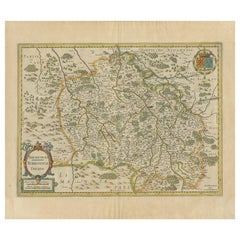
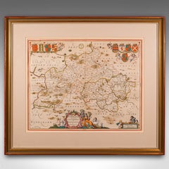
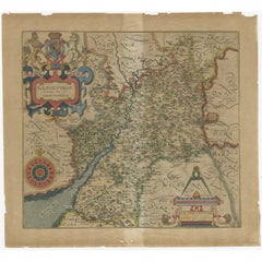
17th Century John Speed Map of the Barkshire Described, c.1616

17th Century John Speed Map of the Barkshire Described, c.1616

By John Speed

Located in Royal Tunbridge Wells, Kent

Antique 17th century British very rare and original John Speed (1551-1629) map of the Barkshire Described, J.

Category

Antique 17th Century British Maps

Materials

Paper

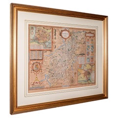
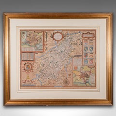
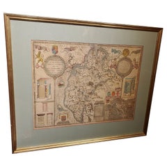
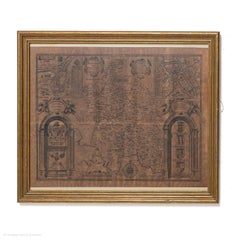
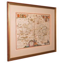
Large Antique Lithography Map, Northamptonshire, Framed Cartography, John Speed

Large Antique Lithography Map, Northamptonshire, Framed Cartography, John Speed

Located in Hele, Devon, GB

This is a large antique lithography map of Northamptonshire. An English, framed atlas engraving of cartographic interest by John Speed, dating to the early 17th century and later.

Category

Antique Mid-17th Century British Other Maps

Materials

Glass, Wood, Paper
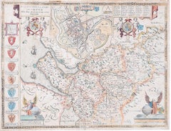
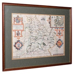
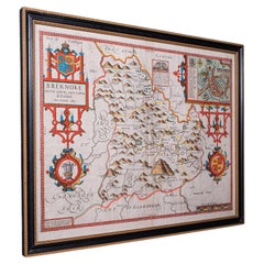
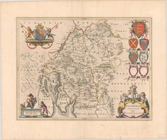
Vintage Map of Breconshire, Breknoke, English, Framed Reproduction, John Speed

Vintage Map of Breconshire, Breknoke, English, Framed Reproduction, John Speed

Located in Hele, Devon, GB

This is an vintage map of Breconshire (Breknoke). An English, framed reproduction county and town map by John Speed, dating to the late 17th century, printed circa 1970 Full title; ...

Category

Vintage 1970s British Jacobean Maps

Materials

Glass, Paper
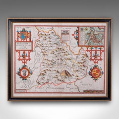
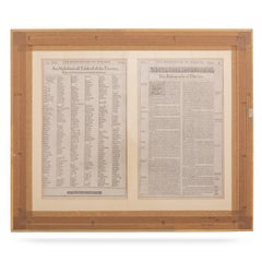
Antique Map of Breconshire, English, Framed, John Speed, Dual Sided, Circa 1627

Antique Map of Breconshire, English, Framed, John Speed, Dual Sided, Circa 1627

Located in Hele, Devon, GB

This is an antique map of Breconshire (Breknoke). An English, framed county and town map by John Speed with dual sided atlas excerpt, dating to the early 17th century, published 1627.

Category

Antique 1620s British Jacobean Maps

Materials

Glass, Paper
Framed 17th Century Map of Cumberland, England by John Speed, 1610

Framed 17th Century Map of Cumberland, England by John Speed, 1610

By John Speed

Located in Middleburg, VA

A fascinating and richly detailed antique map of Cumberland County in northwest England, drawn and published by the celebrated English cartographer John Speed, dated 1610.

Category

Antique Early 17th Century English British Colonial Maps

Materials

Copper, Gold Leaf

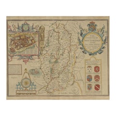
Antique Map of Nottinghamshire by John Speed, Paper, 1676, England

Antique Map of Nottinghamshire by John Speed, Paper, 1676, England

Located in Langweer, NL

Includes an inset town plan of Nottingham. This map originates from 'Theatre of Great Britaine' by John Speed.

Category

Antique 17th Century British Maps

Materials

Paper
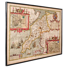
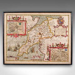
Antique Caernarvon Map, Framed Cartography, Welsh County, John Speed, Circa 1610

Antique Caernarvon Map, Framed Cartography, Welsh County, John Speed, Circa 1610

Located in Hele, Devon, GB

Superb cartography reproduction of Caernarvon town and shire - perfect for display Displays a desirable aged patina and in good original order Fascinating cartography, framed in th...

Category

Antique 17th Century British Jacobean Maps

Materials

Glass, Paper
Cambridge map 17th century engraving after John Speed

Cambridge map 17th century engraving after John Speed

By John Speed

Located in London, GB

Pieter van den Keere (1571 - circa 1646) after John Speed (1551 or 1552 - 1629) Map of Cambridgeshire Engraving 8 x 12 cm A beautifully coloured map of Cambridgeshire, with an antiq...

Category

1620s Landscape Prints

Materials

Engraving

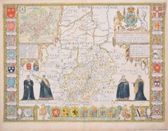
Cambridgeshire map 17th century engraving by John Speed

Cambridgeshire map 17th century engraving by John Speed

By John Speed

Located in London, GB

To see more, scroll down to "More from this Seller" and below it click on "See all from this Seller." John Speed (1551 or 1552 - 1629) Map of Cambridgeshire Engraving with later ha...

Category

1610s Landscape Prints

Materials

Engraving

Buckingham Both Shyre and Shire John Speed 1610 Gilded Frame

Buckingham Both Shyre and Shire John Speed 1610 Gilded Frame

Located in BUNGAY, SUFFOLK

Just purchased more information to follow. In unrestored condition, the sheet can be cleaned.

Category

Antique 17th Century English Baroque Maps

Materials

Paper
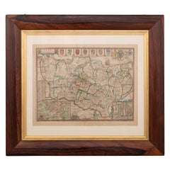
John Speede Map The Countye of Monmouth

John Speede Map The Countye of Monmouth

By John Speed

Located in London, GB

John Speed/Speede (1551/2-1629) The Countye of Monmouthshire Performed by John Speede assisted by William Smyth.

Category

17th Century Realist Landscape Prints

Materials

Engraving

1645 Blaeu Map of Westmorland, Northern England – Hand Colored, Decorative

1645 Blaeu Map of Westmorland, Northern England – Hand Colored, Decorative

Located in Langweer, NL

Keywords: Willem Blaeu, Westmorland map, northern England, 17th-century map, antique map, English county map, John Speed, Windermere, decorative cartography, hand-colored map, rare m...

Category

Antique 1640s Dutch Maps

Materials

Paper
Antique Map of the Provinces of Gelderland and Overijssel by Kaerius, 1617

Antique Map of the Provinces of Gelderland and Overijssel by Kaerius, 1617

Located in Langweer, NL

In 1627 his Atlas Minor was published (known also as miniature Speeds because of the verso text copied from John Speed), containing altogether 63 maps of the entire world.
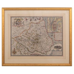
Category

Antique 17th Century Maps

Materials

Paper

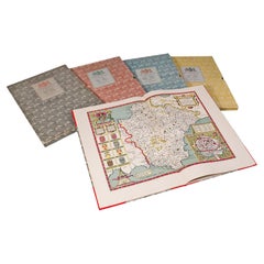
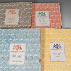
4 Vols Vintage English Maps, John Speed, Cartography Folio, Reproduction, C.1953

4 Vols Vintage English Maps, John Speed, Cartography Folio, Reproduction, C.1953

Located in Hele, Devon, GB

A renowned 16th and early 17th century cartographer and historian, John Speed (1552 - 1629) crafted a series of fine maps in a distinguished career.

Category

Mid-20th Century British Mid-Century Modern Books

Materials

Paper

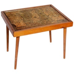
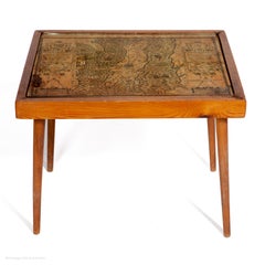
Table Low Sofa Vintage 1950s Map Isle of Man John Speed 1610 Thomas Durham 1595

Table Low Sofa Vintage 1950s Map Isle of Man John Speed 1610 Thomas Durham 1595

Located in BUNGAY, SUFFOLK

flag; In Irish sea to E of Island two ships are fighting; all these were descriptive of strained relationship between England and Scotland prior to accession of James. The map fir...

Category

Antique 1610s English Mid-Century Modern Sofa Tables

Materials

Paper

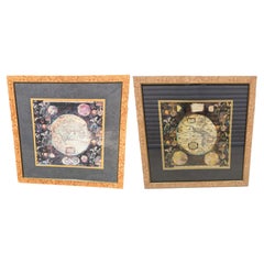
Pair of Prints Depicting Antique World Maps Framed in Burl Wood

Pair of Prints Depicting Antique World Maps Framed in Burl Wood

Located in Dallas, TX

The fundamental cartographic design of this map was made with John Speed's world map in mind.

Category

20th Century American Prints

Materials

Paper

Bermuda: An Early 17th Century Hand-colored Map by Henricus Hondius

Bermuda: An Early 17th Century Hand-colored Map by Henricus Hondius

By Henricus Hondius

Located in Alamo, CA

It is based on a survey of Richard Norwood in 1618, which led to earlier maps by John Speed in 1627. Henricus's older brother, Jodocus Hondius II, engraved a version of the map for t...

Category

Early 17th Century Old Masters Landscape Prints

Materials

Engraving

Recent Sales

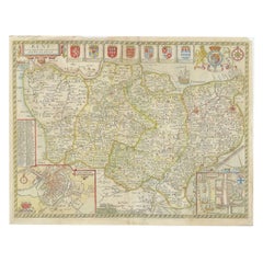
17th Century John Speed Map of Kent with Her Cities & Earles Described, C.1676

17th Century John Speed Map of Kent with Her Cities & Earles Described, C.1676

By John Speed

Located in Royal Tunbridge Wells, Kent

John Speed is undoubtedly the most famous single figure in the early history of the English map making.

Category

Antique 17th Century British Maps

Materials

Paper

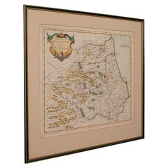
17th Century John Speed Map Of The Bishoprick & Citie Of Durham, c.1611

17th Century John Speed Map Of The Bishoprick & Citie Of Durham, c.1611

By John Speed

Located in Royal Tunbridge Wells, Kent

John Speed is undoubtedly the most famous single figure in the early history of the English map making.

Category

Antique 17th Century British Decorative Art

Materials

Paper

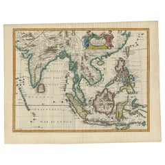
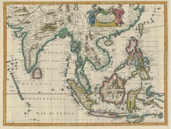
Antique Map of the East Indies by Speed '1676'

Antique Map of the East Indies by Speed '1676'

Sold

H 17.33 in W 22.45 in D 0.02 in

Antique Map of the East Indies by Speed '1676'

Located in Langweer, NL

Antique map titled 'A New Map of East India'. John Speed's map of Southeast Asia, China, Taiwan and part of India, which was engraved by Francis Lamb and first appeared in the enlarg...

Category

Antique Mid-17th Century Maps

Materials

Paper

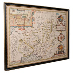
Antique Carmarthenshire County Map, Framed Wales Cartography, John Speed, C.1662

Antique Carmarthenshire County Map, Framed Wales Cartography, John Speed, C.1662

Located in Hele, Devon, GB

This is an antique map of Carmarthenshire. An English, framed county and town map by John Speed with dual sided atlas excerpt, dating to the 17th century and later.

Category

Antique 17th Century British Charles II Maps

Materials

Glass, Paper
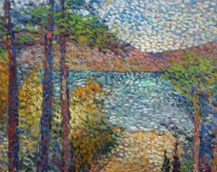
Collection of 12 Early Framed Maps Mostly by John Speed

Collection of 12 Early Framed Maps Mostly by John Speed

Located in Essex, MA

In a variety of conditions. John Speed is known as Englands most famous Stuart mapmaker.

Category

Antique 17th Century English Maps

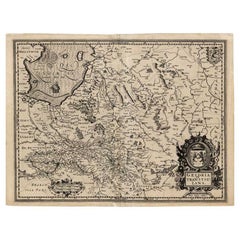
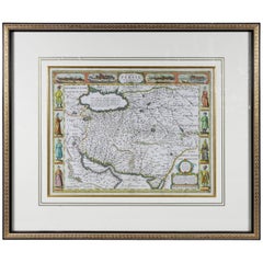
Framed Hand Colored Map of Persia by John Speed

Framed Hand Colored Map of Persia by John Speed

Sold

H 27.5 in W 32.5 in D 1.5 in

Framed Hand Colored Map of Persia by John Speed

Located in Essex, MA

Framed hand colored map of Persia by John Speed. Nicely matted.

Category

Antique Late 17th Century English Prints

Materials

Other

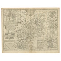
Antique Map of Gloucestershire by John Speed, '1676'

Antique Map of Gloucestershire by John Speed, '1676'

Sold

H 16.93 in W 21.66 in D 0.02 in

Antique Map of Gloucestershire by John Speed, '1676'

Located in Langweer, NL

Antique map titled 'Glocestershire'. Original 17th century map of Gloucestershire, South West England, by John Speed.

Category

Antique Mid-17th Century Maps

Materials

Paper
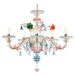
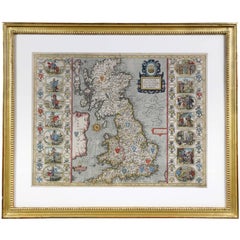
Framed Map of the British Isles by John Speed

Framed Map of the British Isles by John Speed

Sold

H 22 in W 26.5 in D 1.25 in

Framed Map of the British Isles by John Speed

Located in Essex, MA

Engraved by Jodocus Hondius for John Speeds, 'Theatre Of The Empire Of Great Britain' and published by John Sudbury & George Humble. First published in 1611, this example comes from ...

Category

Antique 17th Century Prints

You May Also Like

Large 17th Century Hand Colored Map of England and the British Isles by de Wit

Large 17th Century Hand Colored Map of England and the British Isles by de Wit

By Frederick de Wit

Located in Alamo, CA

A large hand colored 17th century map of England and the British Isles by Frederick de Wit entitled "Accuratissima Angliæ Regni et Walliæ Principatus", published in Amsterdam in 1680...

Category

Antique Late 17th Century Dutch Maps

Materials

Paper
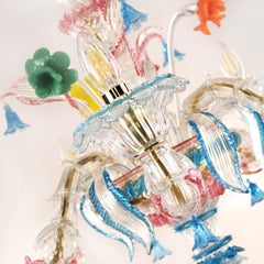
Northern Scotland: A 16th Century Hand-colored Map by Mercator

Northern Scotland: A 16th Century Hand-colored Map by Mercator

By Gerard Mercator

Located in Alamo, CA

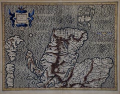
A framed hand-colored 16th century map of Northern Scotland by Gerard Mercator entitled "Scotiae pars Septentrionalis", published in Amsterdam in 1636. It is a highly detailed map of...

Category

Antique 16th Century Dutch Maps

Materials

Paper

Vintage County Map, Suffolk, English, Framed, Cartography, After Thomas Moule

Vintage County Map, Suffolk, English, Framed, Cartography, After Thomas Moule

Located in Hele, Devon, GB

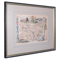
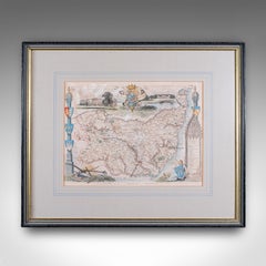
This is a vintage county map of Suffolk. An English, atlas reproduction of the Thomas Moule original, dating to the late 20th century, circa 1980. Eye-catching Thomas Moule cartogra...

Category

Vintage 1980s British Early Victorian Maps

Materials

Glass, Paper

Antique Map of Hertfordshire in England by Speed, 1627

Antique Map of Hertfordshire in England by Speed, 1627

Located in Langweer, NL

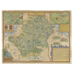
Antique map titled 'Hartfordshire described the sittuations of Hartford (..)'. Map of Hertfordshire, England. Includes inset maps of Hertford and the Roman settlement of Verolani...

Category

Antique 17th Century Maps

Materials

Paper
Antique Map of the Northeast of England by Mercator 'circa 1620'

Antique Map of the Northeast of England by Mercator 'circa 1620'

Located in Langweer, NL

Antique map titled 'Eboracum Lincolnia, Derbia, Staffordia, Notinghamia, Lecestria, Rutlandia, et Norfolcia'. Decorative early map of the northeast of England, comprising the countie...

Category

Antique Early 17th Century Maps

Materials

Paper

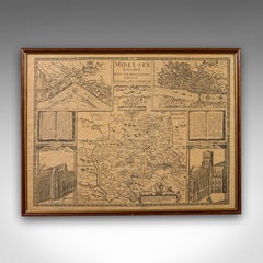
Vintage County Map, Middlesex, English, Framed 16th Century Print, John Norden

Vintage County Map, Middlesex, English, Framed 16th Century Print, John Norden

$677Sale Price|20% Off

H 15.36 in W 20.28 in D 0.4 in

Vintage County Map, Middlesex, English, Framed 16th Century Print, John Norden

Located in Hele, Devon, GB

This is a vintage county map of Middlesex. An English, framed reproduction of the 16th century original by John Norden, dating to the late 20th century, circa 1980. A fascinating rec...

Category

Vintage 1980s British Elizabethan Maps

Materials

Glass, Paper

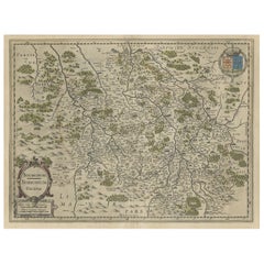
Old Map of the Bourbonnais Region of France, ca.1630

Old Map of the Bourbonnais Region of France, ca.1630

Located in Langweer, NL

Antique map titled 'Bourbonois - Borbonium Ducatus'. Old map of the Bourbonnais region of France. Bourbonnais was a historic province in the centre of France that corresponds to ...

Category

Antique 1630s Maps

Materials

Paper

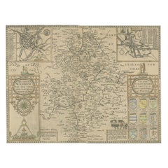
Antique Map of Warwickshire by Speed, c.1614

Antique Map of Warwickshire by Speed, c.1614

$539

H 14.97 in W 19.69 in D 0 in

Antique Map of Warwickshire by Speed, c.1614

Located in Langweer, NL

Antique map titled 'The Counti of Warwick (..)'. Map of Warwickshire, England. Includes inset town plans of Warwick and Coventry. This map originates from 'Theatre of Great Britaine'...

Category

Antique 17th Century Maps

Materials

Paper

Antique Map of Kent with Inset Plans of Rochester & Canterbury, England, 1676

Antique Map of Kent with Inset Plans of Rochester & Canterbury, England, 1676

Located in Langweer, NL

Antique map titled 'Kent with her Cities and Earles described and observed'. Map of Kent, England. Includes inset town plans of Rochester and Canterbury. This map originates from '...

Category

Antique 17th Century Maps

Materials

Paper

Antique Lithography Map, Durham, English, Framed, Cartography, Early Georgian

Antique Lithography Map, Durham, English, Framed, Cartography, Early Georgian

$689Sale Price|20% Off

H 20.28 in W 21.86 in D 0.6 in

Antique Lithography Map, Durham, English, Framed, Cartography, Early Georgian

Located in Hele, Devon, GB

This is an antique lithography map of Durham. An English, framed engraving of cartographic interest, dating to the early 18th century and later, circa 1720. Superb lithography of Du...

Category

Antique Early 18th Century British Georgian Maps

Materials

Wood

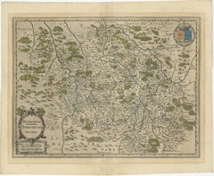
Antique Map of the Region of Bourbonnais by Janssonius, circa 1640

Antique Map of the Region of Bourbonnais by Janssonius, circa 1640

Located in Langweer, NL

Antique map titled 'Bourbonois - Borbonium Ducatus'. Old map of the former region of Bourbonnais, France. It includes the cities of Bourbon, Moulins, Charenton, Brulles, Varennes and...

Category

Antique Mid-17th Century Maps

Materials

Paper

Antique County Map, Buckinghamshire, Bedfordshire, Dutch, Framed, Janssonius

Antique County Map, Buckinghamshire, Bedfordshire, Dutch, Framed, Janssonius

$1,332Sale Price|20% Off

H 24.02 in W 27.76 in D 0.79 in

Antique County Map, Buckinghamshire, Bedfordshire, Dutch, Framed, Janssonius

Located in Hele, Devon, GB

This is an antique county map of Buckinghamshire and Bedfordshire. A Dutch, framed atlas engraving by Johannes Janssonius, dating to the 17th century and later. A treat for the col...

Category

Antique Mid-17th Century Dutch Maps

Materials

Paper

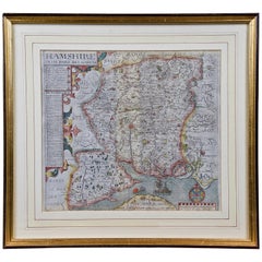
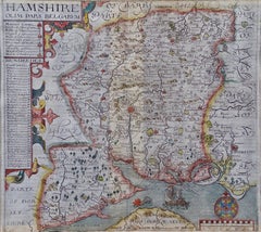
Hampshire County, Britain/England: A Map from Camden's" Britannia" in 1607

Hampshire County, Britain/England: A Map from Camden's" Britannia" in 1607

By John Norden

Located in Alamo, CA

An early hand-colored map of Britain's Hampshire county, published in the 1607 edition of William Camden's great historical description of the British Isles, "Britannia". This map wa...

Category

Antique Early 17th Century English Maps

Materials

Paper

Denbighshire & Flintshire – Antique Map from Drayton’s Poly-Olbion, 1622

Denbighshire & Flintshire – Antique Map from Drayton’s Poly-Olbion, 1622

Located in Langweer, NL

Denbighshire & Flintshire – Antique Map from Drayton’s Poly-Olbion, 1622 This rare and original antique map of Denbighshire and Flintshire in Wales originates from the celebrated Po...

Category

Antique Mid-17th Century Maps

Materials

Paper

Antique Suffolk County Map, Dutch, Atlas Novus, Joan Blaeu, Cartography, C.1645

Antique Suffolk County Map, Dutch, Atlas Novus, Joan Blaeu, Cartography, C.1645

$1,360Sale Price|20% Off

H 21.46 in W 25.6 in D 1.38 in

Antique Suffolk County Map, Dutch, Atlas Novus, Joan Blaeu, Cartography, C.1645

Located in Hele, Devon, GB

This is an antique county map of Suffolk. A Dutch, framed atlas engraving by Joan Blaeu, dating to the 17th century and later. A treat for the collector or county native, with this ...

Category

Antique 1640s Dutch Charles II Maps

Materials

Glass, Paper

Antique Map of Gloucestershire by Camden, c.1607

Antique Map of Gloucestershire by Camden, c.1607

Sold|$275

H 13.39 in W 14.57 in D 0 in

Antique Map of Gloucestershire by Camden, c.1607

Located in Langweer, NL

Antique map titled 'Glocestriae comitatus olim sedes Dobunorum'. Map of Gloucestershire, England. This map originates from Camden?s 'Britannia' published in circa 1607. Artists and E...

Category

Antique 17th Century Maps

Materials

Paper

People Also Browsed

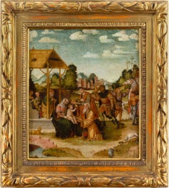
Mid-16th-Century Romagnola School The Adoration Of The Magi, Nativity

Mid-16th-Century Romagnola School The Adoration Of The Magi, Nativity

Located in Cheltenham, GB

This exquisite early 16th-century Italian panel captures one of Christianity’s most cherished moments - the Adoration of the Magi. Painted around 1530, this panel belongs to a moment...

Category

16th Century Renaissance Figurative Paintings

Materials

Oil, Panel

Bronze Bacchus with Woman on Marble Base

Bronze Bacchus with Woman on Marble Base

$985

H 22 in W 12 in D 10 in

Bronze Bacchus with Woman on Marble Base

Located in Annville, PA

Beautiful even when standing still the Bronze Bacchus with Woman on Marble Base is a striking addition to any setting. Using traditional lost wax casting methods the Bronze Bacchus w...

Category

2010s Abstract Sculptures

Materials

Bronze

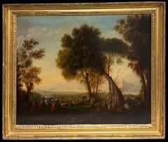
Fine 17th Century Dutch Golden Age Old Master Oil Figures in Classical Landscape

Fine 17th Century Dutch Golden Age Old Master Oil Figures in Classical Landscape

Located in Cirencester, Gloucestershire

Figures in Classical Landscape Dutch School, 17th century unsigned, as is typical of the period oil on canvas, framed inscribed verso to label framed: 23 x 27 inches canvas : 20 x 24...

Category

17th Century Old Masters Landscape Paintings

Materials

Oil

Spring Walk, Impressionist Oil Painting on Canvas by Lucien Neuquelman

Spring Walk, Impressionist Oil Painting on Canvas by Lucien Neuquelman

By Lucien Neuquelman

Located in Long Island City, NY

Lucien Neuquelman, French (1909 - 1988) - Spring Walk, Year: 1938, Medium: Oil on Canvas, signed and dated lower right, Size: 13 x 9.5 in. (33.02 x 24.13 cm), Frame Size: 20.5 x ...

Category

1930s Impressionist Landscape Paintings

Materials

Oil

Rezzonico chandelier 5 arms clear Murano glass, multicolor details by Multiforme

Rezzonico chandelier 5 arms clear Murano glass, multicolor details by Multiforme

By Multiforme

Located in Venezia, Veneto

Kia Ora chandelier 5 lights clear Murano glass with blue and ruby trims, multicolour vitreous paste details. Kia Ora is the combination of the traditional Venetian structure with g...

Category

2010s Italian Other Chandeliers and Pendants

Materials

Blown Glass, Art Glass, Murano Glass

Untitled

Sam FrancisUntitled, 1987

$9,000

H 45 in W 27.76 in

Untitled

By Sam Francis

Located in London, GB

114.3 x 70.5 cms (45 x 27.76 ins) Edition of 50

Category

1980s Abstract Expressionist Abstract Prints

Materials

Color, Lithograph

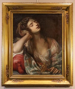
Queen Sofonisba Portrait Nuvolone Paint 17th Century Oil on canvas Old master

Queen Sofonisba Portrait Nuvolone Paint 17th Century Oil on canvas Old master

Located in Riva del Garda, IT

Carlo Francesco Nuvolone (Milan 1609 – Milan 1662), attributed The Suicide of Queen Sofonisba Oil on canvas 76 x 60 cm. - In frame 100 x 85 cm. This painting captures the tr...

Category

17th Century Old Masters Portrait Paintings

Materials

Oil

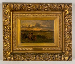
Scene de Chasse
Scene de Chasse

Alexandre Marie GuilleminScene de Chasse, 1860's

$5,850

H 17.5 in W 20.5 in D 2 in

Scene de Chasse

Located in Sheffield, MA

Alexandre Marie Guillemin French, 1817-1880 Scene de Chasse Oil on Panel 9 by 12in. w/frame 17 ½ by 20 ½in. Signed lower right He studied with Baron Gros. He exhibited at the Salo...

Category

1860s Barbizon School Figurative Paintings

Materials

Oil

La Côte Sauvage A Small Boat In A Cove Framed French Oil Painting Circa 1920

La Côte Sauvage A Small Boat In A Cove Framed French Oil Painting Circa 1920

Located in Sutton Poyntz, Dorset

Achille Amedee Marie Conrad Bron. French ( b.1867 - d.1949 ). La Côte Sauvage, Un Barque Dans Une Anse. Oil On Canvas. Signed Lower Left. Image size 17.7 inches x 21.3 inches ( 45cm ...

Category

Early 20th Century Post-Impressionist Landscape Paintings

Materials

Canvas, Oil

Rebecca At Well De Mura Paint 18th Century Oil on canvas Old master Flemish

Rebecca At Well De Mura Paint 18th Century Oil on canvas Old master Flemish

Located in Riva del Garda, IT

Francesco de Mura (Naples 1696 - Naples 1782) workshop Rebecca at the Well Oil on canvas 26 x 87 cm. - Framed 38 x 99 cm. NB: The darker strip at the top of the painting is t...

Category

18th Century Old Masters Figurative Paintings

Materials

Oil

19th Century oil painting of The Dogana, Venice

19th Century oil painting of The Dogana, Venice

By Alfred Pollentine

Located in Nr Broadway, Worcestershire

Alfred Pollentine British, (1844-1910) The Dogana, Venice Oil on canvas, signed & further inscribed verso Image size: 15.5 inches x 23.5 inches Size including frame: 22.5 inches x ...

Category

19th Century Landscape Paintings

Materials

Canvas, Oil

18th Century Italian Genovese Madonna Painting in Baroque Style

18th Century Italian Genovese Madonna Painting in Baroque Style

$8,000Sale Price|20% Off

H 24.61 in W 18.71 in

18th Century Italian Genovese Madonna Painting in Baroque Style

Located in New York, NY

Italian Madonna, early 18th Century, probably Genovese. Beautiful color palette. Not signed.

Category

Early 18th Century Baroque Figurative Paintings

Materials

Canvas, Oil

Abel Bertram - Village Scene, Oil On Canvas, 19th century

Abel Bertram - Village Scene, Oil On Canvas, 19th century

By Abel Bertram 2

Located in Beaune, FR

Oil on canvas painting signed Abel Bertram lower left. It represents a village scene and is in very good condition. Dimensions with frame - H 69cm x W 89cm Without frame - H 54cm x 73cm

Category

Antique 19th Century European Paintings

Materials

Paint

17th Century, Italian Painting by Pier Francesco Cittadini, Jacob and his Family

17th Century, Italian Painting by Pier Francesco Cittadini, Jacob and his Family

Located in IT

Pier Francesco Cittadini (Milan, 1616-Bologna, 1681) "Jacob and his family go to Egypt" Oil on canvas, cm 109 x 190 (canvas only) The valuable painting, made in oil on canvas, d...

Category

Antique Mid-17th Century European Baroque Paintings

Materials

Canvas, Giltwood

Walk Along the Water

Walk Along the Water

Located in Sheffield, MA

Caroline Helena Armington Canadian, 1875-1939 Walk Along the Water Oil on canvas 8 ½ by 10 ¾ in, w/ frame 15 by 17 in Signed "Caroline Armington 1921" lower right Inventory Number:...

Category

Early 20th Century Impressionist Landscape Paintings

Materials

Canvas, Oil

Town on the River
Town on the River

Andre VautierTown on the River

$3,200

H 31 in W 25 in

Town on the River

Located in Sheffield, MA

Andre Vautier French, 1861-1941 Town on the River Oil on canvas 18 ¼ by 24 in, w/ frame 25 by 31 in Signed lower left Inventory Number: 01908 Andre Vautier was a landscape painter...

Category

Early 20th Century Impressionist Landscape Paintings

Materials

Canvas, Oil

Get Updated with New Arrivals
Save "John Speed Maps", and we’ll notify you when there are new listings in this category.

John Speed Maps For Sale on 1stDibs

An assortment of john speed maps is available at 1stDibs. The range of distinct john speed maps — often made from paper, metal and other — can elevate any home. John speed maps have been produced for many years, with earlier versions available from the 17th Century and newer variations made as recently as the 18th Century. John speed maps are generally popular furniture pieces, but Mid-Century Modern style is often sought at 1stDibs.

How Much are John Speed Maps?

Prices for john speed maps start at $591 and top out at $7,500 with the average selling for $1,708.

Read More