Want more images or videos?
Request additional images or videos from the seller.

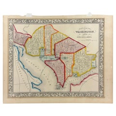
1853 “ Washington” Engraved DC Map from Fanning's Illustrated Gazetteer

$750
£578.11
€691.54
CA$1,090.70
A$1,124.43
CHF 638.89
MX$14,233.24
NOK 7,316.21
SEK 7,664.64
DKK 5,169.69

About the Item

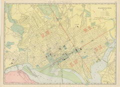
Presented is an original engraved map of Washington, DC, from 1853. The map was published in Fanning’s Illustrated Gazetteer of the United States. A compendium of maps, statistics, written descriptions, and histories, the Gazetteer was published by Phelps, Fanning and Company, in New York, and updated every so often with new territorial acquisitions, census data, and the like. The map shows radial distances from the Capitol and includes an index to points of interest, including the President’s house, Post Office, Patent Office, Banks, Churches, and Federal department buildings. An inset of "Sth. part of Washington" and "Plan of the Capitol" are included at top and bottom right, respectively. CONDITION: Near fine condition. Strong printing. Engraving, black and white as issued. Full margins, paper is healthy. Text on verso and page no. on verso: 377. Dimensions: 4 ¾” 8 ⅛” W (image). Matted with a cream acid-free top mat and protective Mylar. Accompanied by our company's letter of authenticity.
  • Dimensions:
    Height: 8.13 in (20.66 cm)Width: 4.75 in (12.07 cm)Depth: 0.07 in (1.78 mm)
  • Materials and Techniques:
    Paper,Engraved
  • Place of Origin:
  • Period:
  • Date of Manufacture:
    1853
  • Condition:
    Additions or alterations made to the original: Matted in acid-free mats with mylar by past owner. Wear consistent with age and use.
  • Seller Location:
    Colorado Springs, CO
  • Reference Number:
    Seller: M1231stDibs: LU909750099322

More From This Seller

View All
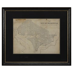
1840 Map of the City of Washington Published by William M. Morrison

1840 Map of the City of Washington Published by William M. Morrison

Located in Colorado Springs, CO

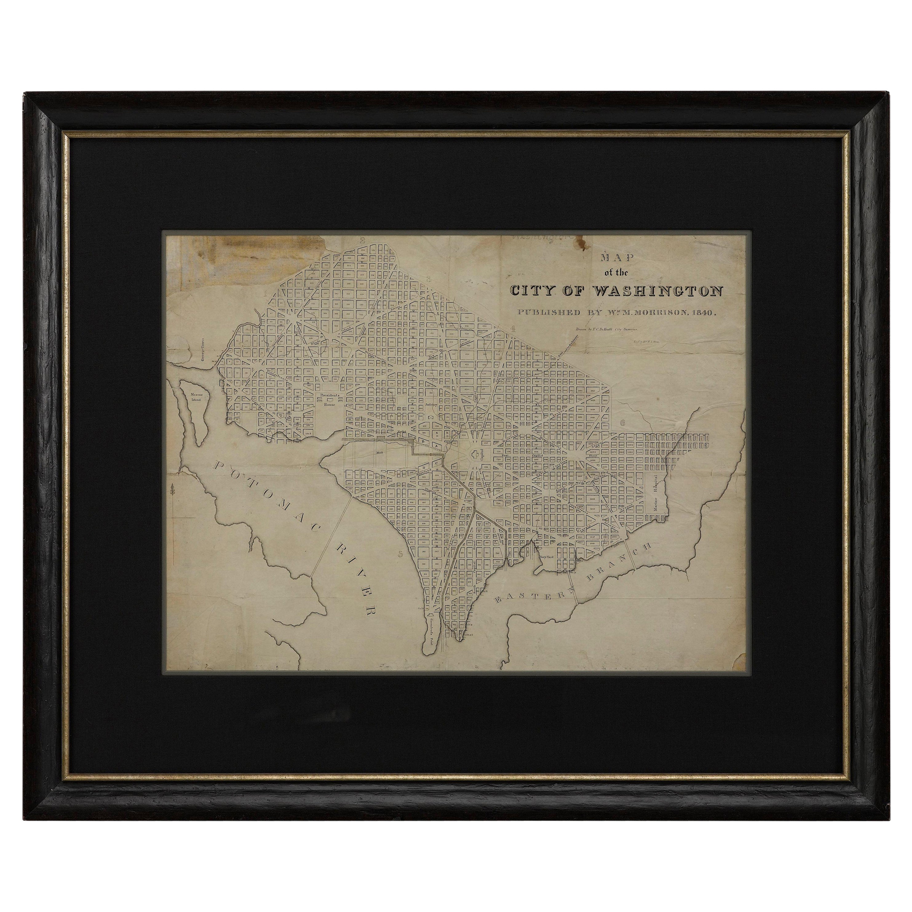
This map, printed in 1840, is a detailed representation of Washington, D.C. in the mid-19th century. The map shows block numbers, wards, and government buildings as well as details o...

Category

Antique 1840s American Federal Maps

Materials

Paper

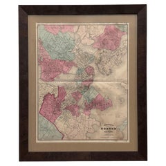
1870 "Johnson's Boston and Vicinity" Map, Published by A. J. Johnson

1870 "Johnson's Boston and Vicinity" Map, Published by A. J. Johnson

Located in Colorado Springs, CO

Presented is an original 1870 "Johnson's Boston and Vicinity" map. This map was issued as pages 36 and 37 in the 1870 edition of “Johnson's New Illustrated (Steel Plate) Family Atlas...

Category

Antique 1870s American American Empire Maps

Materials

Paper

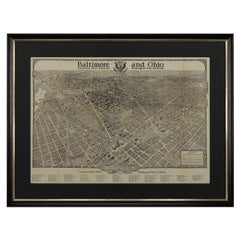
1923 "Washington, The Beautiful Capital of the Nation" Baltimore and Ohio RR Map

1923 "Washington, The Beautiful Capital of the Nation" Baltimore and Ohio RR Map

Located in Colorado Springs, CO

This is a fabulous 1923 bird's eye map of Washington, DC that shows the city in amazing detail. Every building is individually drawn and all major roads in the city are shown. The vi...

Category

Vintage 1920s American Art Deco Maps

Materials

Paper

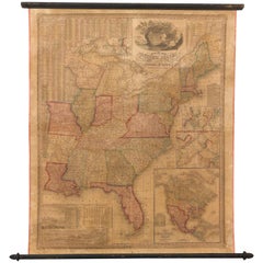
1842 Wall Map of the United States by J. H. Young, Published by S. A. Mitchell

1842 Wall Map of the United States by J. H. Young, Published by S. A. Mitchell

Located in Colorado Springs, CO

Presented is an 1842 hanging “Map of the United States,” engraved by J. H. Young and published by Samuel Augustus Mitchell, Philadelphia. This is a beautiful example of the rare 1842...

Category

Antique 1840s American Maps

Materials

Paper

1812 "United States of North America" Two-Sheet Map by Pierre François Tardieu

1812 "United States of North America" Two-Sheet Map by Pierre François Tardieu

By Pierre François Tardieu

Located in Colorado Springs, CO

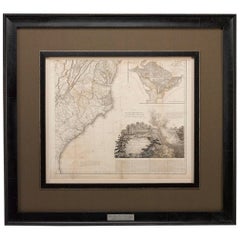
1812 "United States of Nth America -- Carte des Etats-Unis De L'Amerique Septentrionale" Two-Sheet Map by Tardieu This attractive map, published in Paris in 1812, is one of the most rare large format maps from the period. It features a view of the East Coast of the U.S. from Maryland to just below South Carolina. Additionally, Ellicott’s plan for the City of Washington D.C. is included at the top right and an illustration of Niagara Falls is shown at the bottom right with a description in both French and English. This extremely detailed map not only depicts the mountainous regions of the southeastern U.S., but also includes names of regions, rivers, and towns. Based on the first state of Arrowsmith’s 4-sheet map of the United States, this map is completely engraved by Tardieu in Paris and showcases high quality engravings. This detailed map of the recently independent United States includes one of the largest and earliest examples of the Ellicott plan of Washington DC. The artist, Pierre François Tardieu (PF Tardieu) was a very well-known map engraver, geographer, and illustrator. Awarded a bronze medal by King Louis-Phillipe for the accuracy and beauty of his map-making, Tardieu produced many fine works including maps of Louisiana...

Category

Antique 1810s French Maps
Materials

Paper

1840 "New Map of the City of New York With Part of Brooklyn & Williamsburg"

1840 "New Map of the City of New York With Part of Brooklyn & Williamsburg"

Located in Colorado Springs, CO

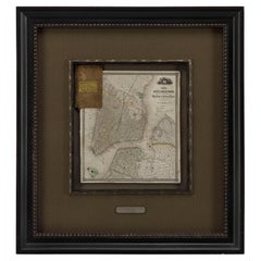
Presented is a hand-colored, engraved folding map titled "New Map of the City of New York With Part of Brooklyn & Williamsburg" by J. Calvin Smith. The map was issued bound in th...

Category

Antique 1840s American Maps

Materials

Paper

You May Also Like

Antique Map of Washington, D.C., The Nation's Capital, Rand McNally, 1899

Antique Map of Washington, D.C., The Nation's Capital, Rand McNally, 1899

By Rand McNally & Co.

Located in Langweer, NL

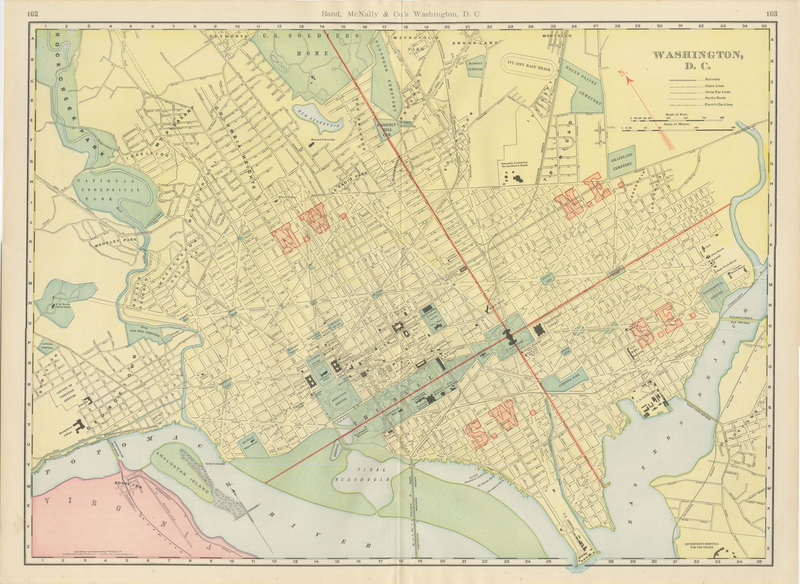
Rand McNally mapped the capital in full for this antique map of Washington, District of Columbia, a double-page plan on pages 102 and 103 of its 1899 indexed atlas, with the four qua...

Category

Antique Late 19th Century American Late Victorian Maps

Materials

Paper

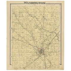
Antique Map of Washington County 'Ohio' by Titus, 1871

Antique Map of Washington County 'Ohio' by Titus, 1871

Located in Langweer, NL

Antique map titled 'Washington'. Original antique map of Washington, Ohio. This map originates from 'Atlas of Preble County Ohio' by C.O. Titus. Published, 1871.

Category

Antique Late 19th Century Maps

Materials

Paper

Antique, Hand Colored Map of Washington, D.C., 19th Century

Antique, Hand Colored Map of Washington, D.C., 19th Century

Located in Houston, TX

Antique map of Washington, D.C. carefully hand colored bringing warmth and charm to the engraving. This map features the city's distinguished layout as designed by urban planner Pie...

Category

Antique 19th Century American American Classical Decorative Art

Materials

Paint, Paper

American Civil War “Seat of War” Map, Published Just After Bull Run, 1861

American Civil War “Seat of War” Map, Published Just After Bull Run, 1861

Located in Langweer, NL

American Civil War “Seat of War” Map, Published Just After Bull Run, 1861 Description: An important and highly detailed original map published at the outbreak of the American Civil ...

Category

Antique Mid-19th Century British Victorian Maps

Materials

Paper

Maryland, D.C. & Delaware Antique Map  – Old Line State Railroads, c.1888

Maryland, D.C. & Delaware Antique Map – Old Line State Railroads, c.1888

Located in Langweer, NL

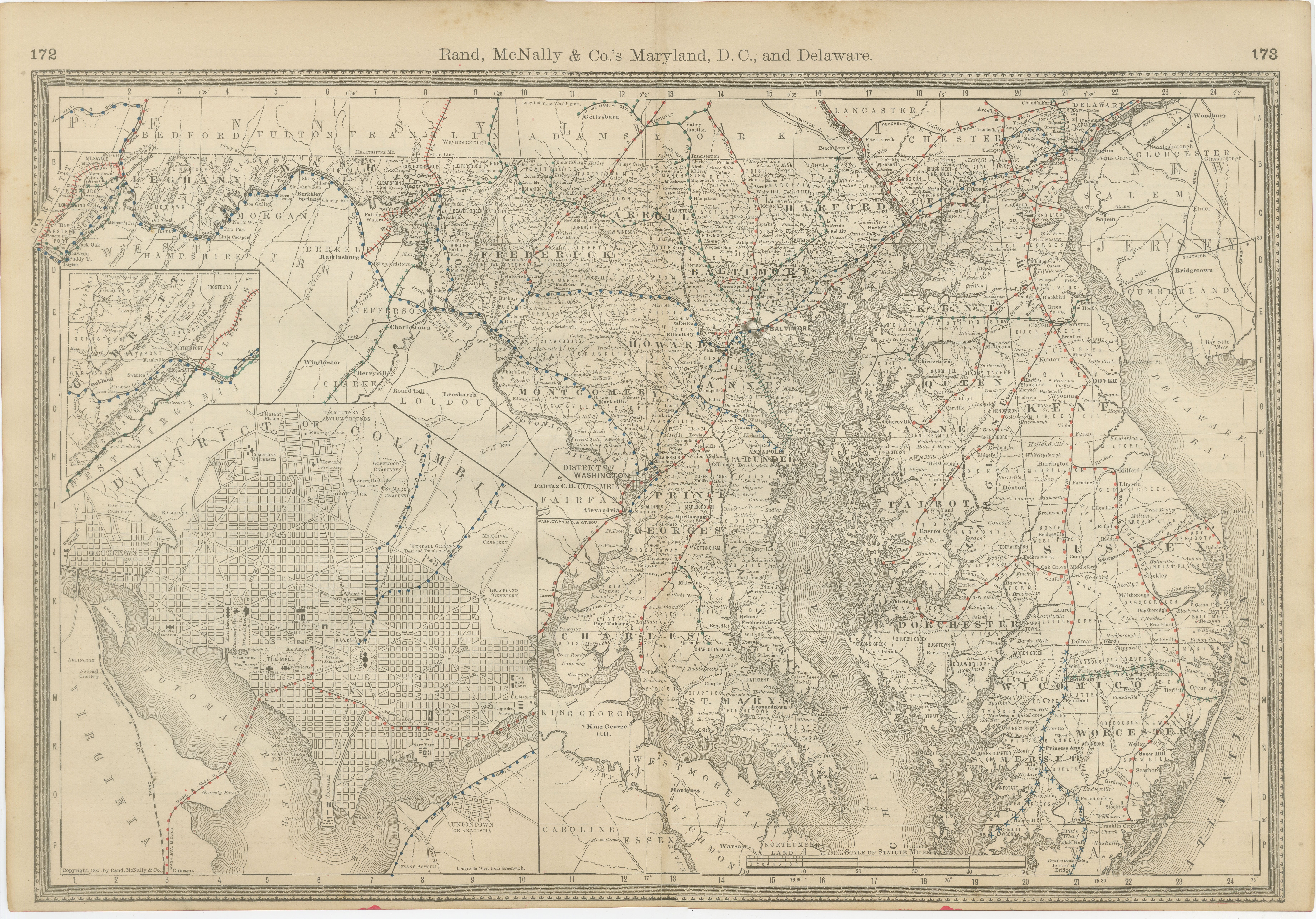
Antique Map of Maryland, Delaware & Washington D.C. – Rand McNally, circa 1888 This antique map of Maryland, Delaware, and Washington, D.C., was published by Rand, McNally & Co. aro...

Category

Antique Late 19th Century American Maps

Materials

Paper