Want more images or videos?
Request additional images or videos from the seller.

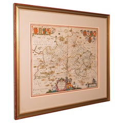
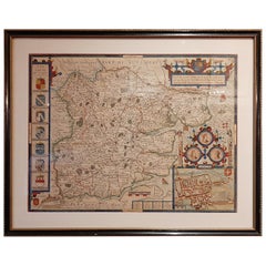
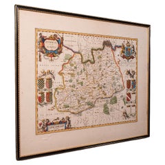
Antique County Map, Hertfordshire, Dutch, Framed Cartography, Blaeu, Carolean

$1,621.04
£1,201
€1,465.38
CA$2,311.20
A$2,382.67
CHF 1,353.81
MX$30,160.29
NOK 15,503.08
SEK 16,241.40
DKK 10,954.60

About the Item

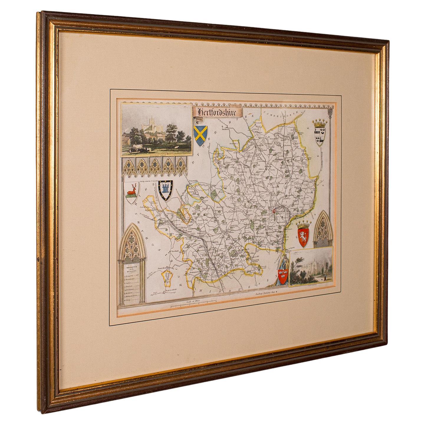
This is an antique county map of Hertfordshire. A Dutch, framed atlas engraving of cartographic interest by Joan Blaeu (1596 - 1673), dating to the mid 17th century and later, circa 1649. Full Title: Hertfordia, Comitatus - Vernacule Hertfordshire Superb mid-17th century lithography of Hertfordshire and its county detail Presents a desirable aged patina, with gently aged paper behind glass Fascinating cartography, appealingly set within a quality, later frame Broad and crafted in oak, the frame hosts mounting wire to the rear Original monochrome presentation and annotated with excellent town and county detail Mapped by the esteemed Dutch cartographer Joan Blaeu in high detail Likely an excerpt from Blaeu's Theatrum Orbis Terrarum sive Atlas Novus Accentuated with title cartouche, heraldic crests and figural detail Scale given in Milliaria Anglica quorum quattuor unum Germanicum Broadly translates to 'Four English miles to one German' This is a fascinating antique county map of Hertfordshire, with fine cartographic interest and period annotations in Latin. A treat for county residents or cartographic collectors. Delivered ready to display. Dimensions: Max Width: 63.5cm (25'') Max Depth: 2cm (.75'') Max Height: 54.5cm (21.5'') Map Width: 50cm (19.75'') Map Height: 42cm (16.5'')
  • Dimensions:
    Height: 21.46 in (54.5 cm)Width: 25.01 in (63.5 cm)Depth: 0.79 in (2 cm)
  • Style:
    Baroque (Of the Period)
  • Materials and Techniques:
  • Place of Origin:
  • Period:
    1640-1649
  • Date of Manufacture:
    Circa 1649
  • Condition:
    Wear consistent with age and use. Presented in good antique condition.
  • Seller Location:
    Hele, Devon, GB
  • Reference Number:
    Seller: 262461stDibs: LU2645351523822

More From This Seller

View All
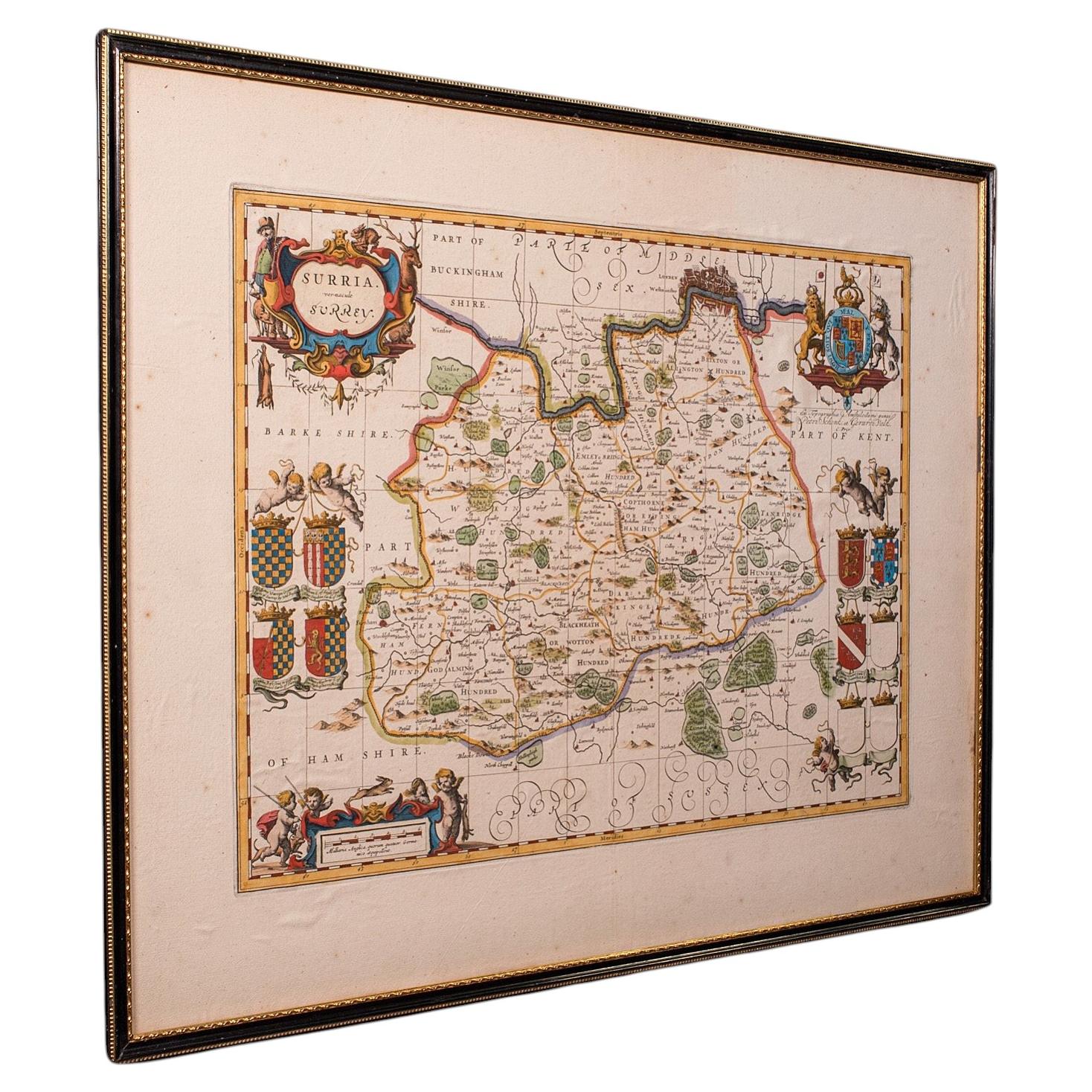
Antique Map of Surrey, English, Framed County Cartography, After Blaeu, C.1690

Antique Map of Surrey, English, Framed County Cartography, After Blaeu, C.1690

Located in Hele, Devon, GB

This is an antique map of Surrey. An English, framed cartography engraving by Willem Janszoon Blaeu, this centre fold edition dating to the William & Mary period, circa 1690. A fine...

Category

Antique 1690s British William and Mary Maps

Materials

Glass, Paper
Antique Buckinghamshire Map, English, Framed 17th Century County Cartography

Antique Buckinghamshire Map, English, Framed 17th Century County Cartography

Located in Hele, Devon, GB

This is an antique county map of Buckinghamshire. An English, framed atlas engraving reproduction by Dutchman Joan Blaeu, dating to the 17th century and later. A treat for the colle...

Category

Early 20th Century British Victorian Maps

Materials

Glass, Paper

Antique County Map, Buckinghamshire, Bedfordshire, Dutch, Framed, Janssonius

Antique County Map, Buckinghamshire, Bedfordshire, Dutch, Framed, Janssonius

Located in Hele, Devon, GB

This is an antique county map of Buckinghamshire and Bedfordshire. A Dutch, framed atlas engraving by Johannes Janssonius, dating to the 17th century and later. A treat for the col...

Category

Antique Mid-17th Century Dutch Maps

Materials

Paper

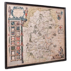
Antique Wiltshire County Map, Dutch, Framed Cartography, Latin, Blaeu, C.1650

Antique Wiltshire County Map, Dutch, Framed Cartography, Latin, Blaeu, C.1650

Located in Hele, Devon, GB

This is an antique county map of Wiltshire. A Dutch, framed atlas engraving of cartographic interest by Joan Blaeu (1596 - 1673), dating to the mid 17th century and later, circa 1650...

Category

Antique 1650s Dutch Jacobean Maps

Materials

Glass, Paper

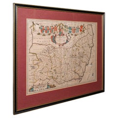
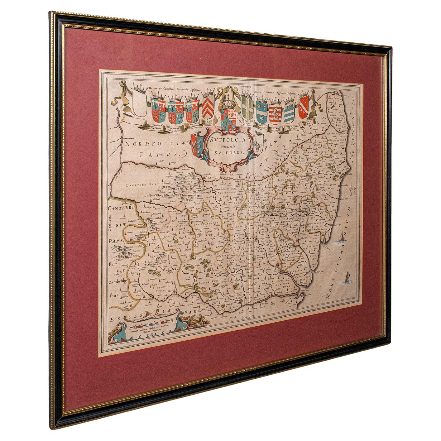
Antique Suffolk County Map, Dutch, Atlas Novus, Joan Blaeu, Cartography, C.1645

Antique Suffolk County Map, Dutch, Atlas Novus, Joan Blaeu, Cartography, C.1645

Located in Hele, Devon, GB

This is an antique county map of Suffolk. A Dutch, framed atlas engraving by Joan Blaeu, dating to the 17th century and later. A treat for the collector or county native, with this ...

Category

Antique 1640s Dutch Charles II Maps

Materials

Glass, Paper

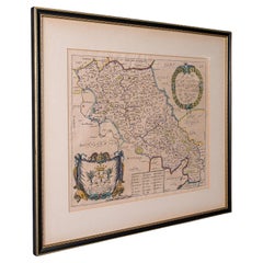
Antique County Map, Northamptonshire, English, Framed Cartography, Richard Blome

Antique County Map, Northamptonshire, English, Framed Cartography, Richard Blome

Located in Hele, Devon, GB

This is an antique county map of Northamptonshire. An English, framed atlas engraving by Richard Blome, dating to the 17th century and later. Fascinating cartography, oriented 90 d...

Category

Antique Late 17th Century British Charles II Maps

Materials

Glass, Wood, Paper

You May Also Like

Antique Map of Essex by Overton, circa 1710

Antique Map of Essex by Overton, circa 1710

Located in Langweer, NL

Antique map titled 'Essex, devided into Hundreds, with the most antient and fayre Towne Colchester (..)'. Map of Essex, England. Includes an inset town pl...

Category

Antique Early 18th Century Maps

Materials

Paper

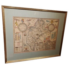
Framed 17th Century Map of Cumberland, England by John Speed, 1610

Framed 17th Century Map of Cumberland, England by John Speed, 1610

By John Speed

Located in Middleburg, VA

A fascinating and richly detailed antique map of Cumberland County in northwest England, drawn and published by the celebrated English cartographer John Spe...

Category

Antique Early 17th Century English British Colonial Maps

Materials

Copper, Gold Leaf

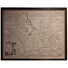
Antique Map of Leicester and Rutland by Tinney & Sayer, 'circa 1756'

Antique Map of Leicester and Rutland by Tinney & Sayer, 'circa 1756'

Located in Langweer, NL

Antique map titled 'An Accurate Map of the Counties of Leicester and Rutland (..)'. Large map of Leicester and Rutland with dedications to the Most Noble John Duke of Rutland, and to...

Category

Antique Mid-18th Century Maps

Materials

Paper

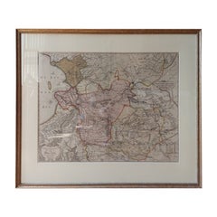
Antique Map of Overijssel by Visscher, c.1660

Antique Map of Overijssel by Visscher, c.1660

Located in Langweer, NL

Antique map titled 'Transisalania provincia vulgo Over-yssel'. Original antique map of the province of Overijssel, the Netherlands. Published by N. Visscher after N. ten Have, circa ...

Category

Antique 17th Century Maps

Materials

Paper

Antique Map of the Eastern Hemisphere in Frame, 'circa 1683'

Antique Map of the Eastern Hemisphere in Frame, 'circa 1683'

Located in Langweer, NL

Antique map titled 'Climats selon les Anciens'. Miniature map of the Eastern Hemisphere showing the climatic regions. This map originates from 'Description de l'Univers' by A.M. Mall...

Category

Antique Late 17th Century Maps

Materials

Paper

Antique Miniature Map of France and the Low Countries by Mallet, circa 1719

Antique Miniature Map of France and the Low Countries by Mallet, circa 1719

Located in Langweer, NL

Antique map titled 'France - Païs-Bas'. Miniature Map of France and the Low Countries. Published by A.M. Mallet, circa 1719. Frame included. We carefully pack our framed items to ...

Category

Antique Early 18th Century Maps

Materials

Paper