
Want more images or videos?
Request additional images or videos from the seller.

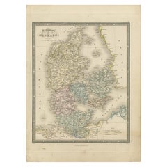
Antique Map of Denmark with An Inset of Iceland, 1852

$157.97
£119.38
€140VAT Included
CA$225.22
A$232.19
CHF 131.93
MX$2,939.10
NOK 1,510.76
SEK 1,582.71
DKK 1,067.52

About the Item

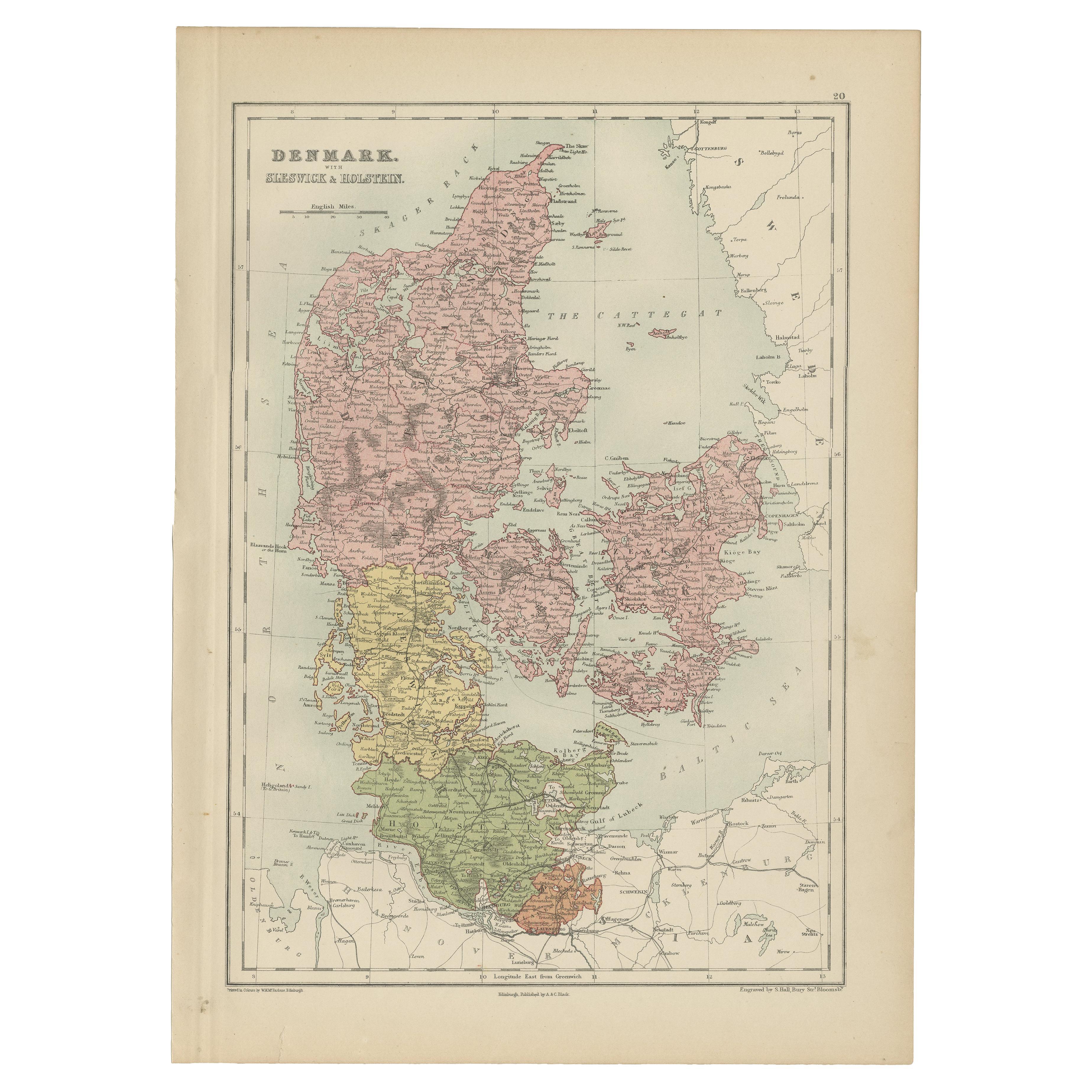
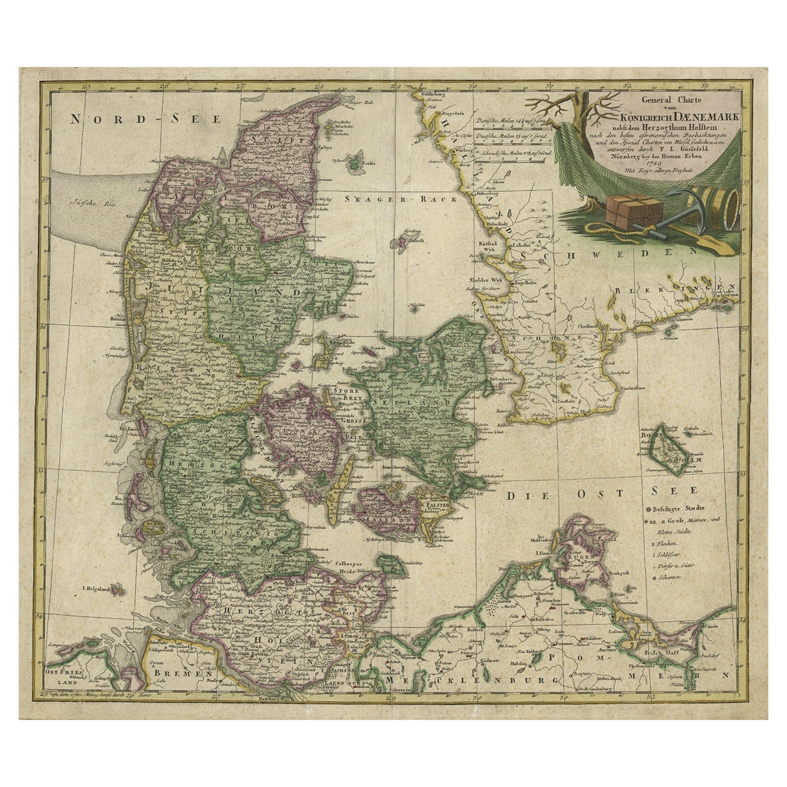
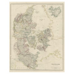
Antique map titled 'Denemarken'. Map of Denmark, with a small inset map of Iceland. This map originates from 'School-Atlas van alle deelen der Aarde' by Otto Petri. Artists and Engravers: Published by A. Baedeker (Otto Petri). Condition: Good, general age-related toning. Minor wear, mainly in margins. Blank verso, please study image carefully. Date: 1852 Overall size: 34.5 x 27 cm. Image size: 27.5 x 21 cm.
  • Dimensions:
    Height: 10.63 in (27 cm)Width: 13.59 in (34.5 cm)Depth: 0 in (0.01 mm)
  • Materials and Techniques:
  • Period:
  • Date of Manufacture:
    1852
  • Condition:
  • Seller Location:
    Langweer, NL
  • Reference Number:
    Seller: BG-05294-61stDibs: LU3054326224752

More From This Seller

View All
Antique Map of Denmark with an Inset Map of Iceland, 1832

Antique Map of Denmark with an Inset Map of Iceland, 1832

Located in Langweer, NL

Antique map titled 'Denmark'. Large map of Denmark with an inset map of Iceland. Artists and Engravers: Published by J. Arrowsmith in London, 1832. Condition: Good, general age...

Category

Antique 19th Century Maps

Materials

Paper
Antique Map of Denmark with Insets of Iceland and the Faroe Islands, c.1873

Antique Map of Denmark with Insets of Iceland and the Faroe Islands, c.1873

Located in Langweer, NL

Antique map titled 'Denemarken, Sleeswijk-Holstein en Lauenburg'. Old map depicting Denmark, with inset maps of Iceland and the Faroe Islands. This map originates from 'School-Atlas ...

Category

Antique 19th Century Dutch Maps

Materials

Paper

Antique Map of the Kingdom of Denmark by Wyld '1845'

Antique Map of the Kingdom of Denmark by Wyld '1845'

Located in Langweer, NL

Antique map titled 'Kingdom of Denmark'. Original antique map of the Kingdom of Denmark. This map originates from 'An Atlas of the World, Comprehending Separate Maps of its Various C...

Category

Antique Mid-19th Century Maps

Materials

Paper

Map of Denmark, Norway & Iceland: Early 19th Century from the 1802 Tardieu Atlas

Map of Denmark, Norway & Iceland: Early 19th Century from the 1802 Tardieu Atlas

Located in Langweer, NL

Antique Map Description Title: Royaume de Danemarck: Première Carte. Danemarck, Norwege et Islande Publication Details: - **Atlas Title:** Nouvel Atlas Universel de Géographie Anc...

Category

Antique Early 1800s Maps

Materials

Paper

Antique Map of Denmark with Schleswig & Holstein by A & C. Black, 1870

Antique Map of Denmark with Schleswig & Holstein by A & C. Black, 1870

Located in Langweer, NL

Antique map titled 'Denmark with Schleswig & Holstein'. Original antique map of Denmark with Schleswig & Holstein. This map originates from ‘Black's General Atlas of The World’. Publ...

Category

Antique Late 19th Century Maps

Materials

Paper
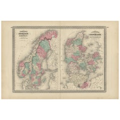
Antique Map of Sweden, Norway and Denmark by Johnson, 1872

Antique Map of Sweden, Norway and Denmark by Johnson, 1872

Located in Langweer, NL

The image is an antique map, a two-page spread from "Johnson's New Illustrated Family Atlas of the World," by A.J. Johnson, dated 1872. This particular map offers a depiction of Swed...

Category

Antique Late 19th Century Maps

Materials

Paper
You May Also Like

Denmark. Century Atlas antique vintage map

Denmark. Century Atlas antique vintage map

Located in Melbourne, Victoria

'The Century Atlas. Denmark' Original antique map, 1903. Inset maps of 'Faroe Islands', 'Iceland' and 'Copenhagen'. Central fold as issued. Map name and number printed on the reve...

Category

Early 20th Century Victorian More Prints

Materials

Lithograph

Original Antique Decorative Map of Iceland & Faroe, Fullarton, C.1870

Original Antique Decorative Map of Iceland & Faroe, Fullarton, C.1870

Located in St Annes, Lancashire

Great map of Iceland and The Faroe Islands Wonderful figural border From the celebrated Royal Illustrated Atlas Lithograph. Original color. Published by Fullarton, Edinb...

Category

Antique 1870s Scottish Maps

Materials

Paper

Large Original Vintage Map of Iceland, circa 1920

Large Original Vintage Map of Iceland, circa 1920

Located in St Annes, Lancashire

Great map of Iceland Original color. Good condition Published by Alexander Gross Unframed.

Category

Vintage 1920s English Victorian Maps

Materials

Paper

Original Antique Map of Europe, Arrowsmith, 1820

Original Antique Map of Europe, Arrowsmith, 1820

Located in St Annes, Lancashire

Great map of Europe Drawn under the direction of Arrowsmith. Copper-plate engraving. Published by Longman, Hurst, Rees, Orme and Brown, 1820 ...

Category

Antique 1820s English Maps

Materials

Paper