
Want more images or videos?
Request additional images or videos from the seller.

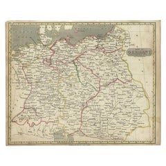
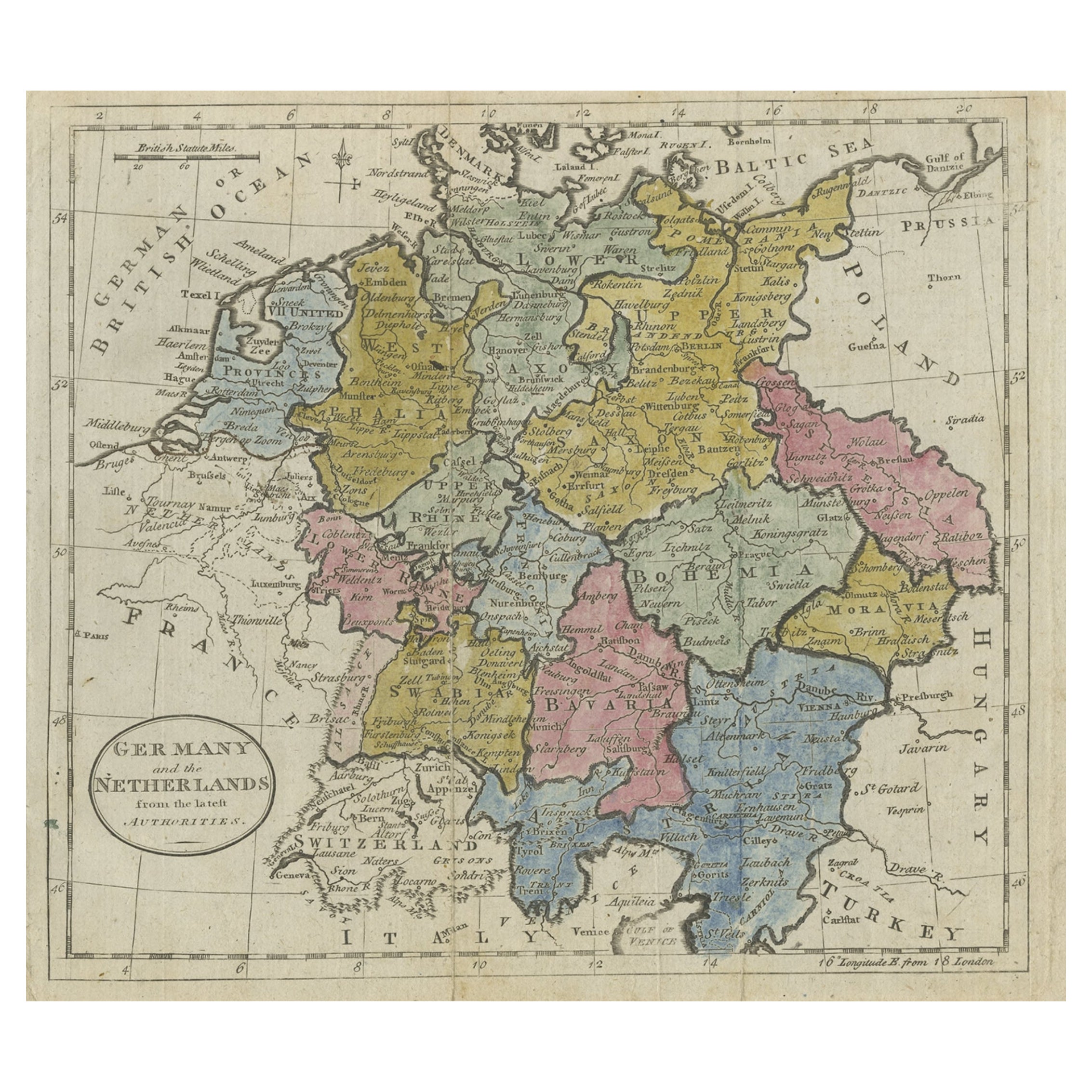
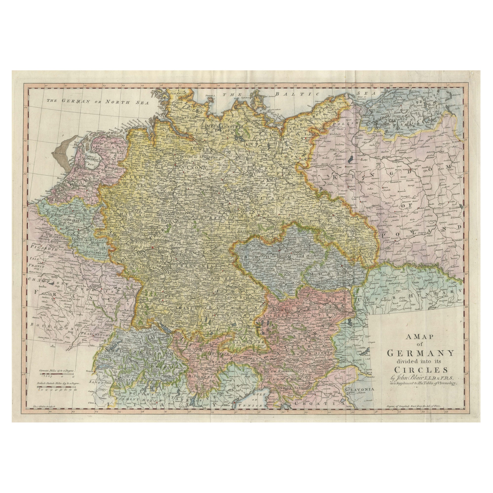
Antique Map of Germany from an Old English Atlas, c.1802

$146.69
£110.85
€130VAT Included
CA$209.14
A$215.60
CHF 122.50
MX$2,729.16
NOK 1,402.85
SEK 1,469.66
DKK 991.27

About the Item

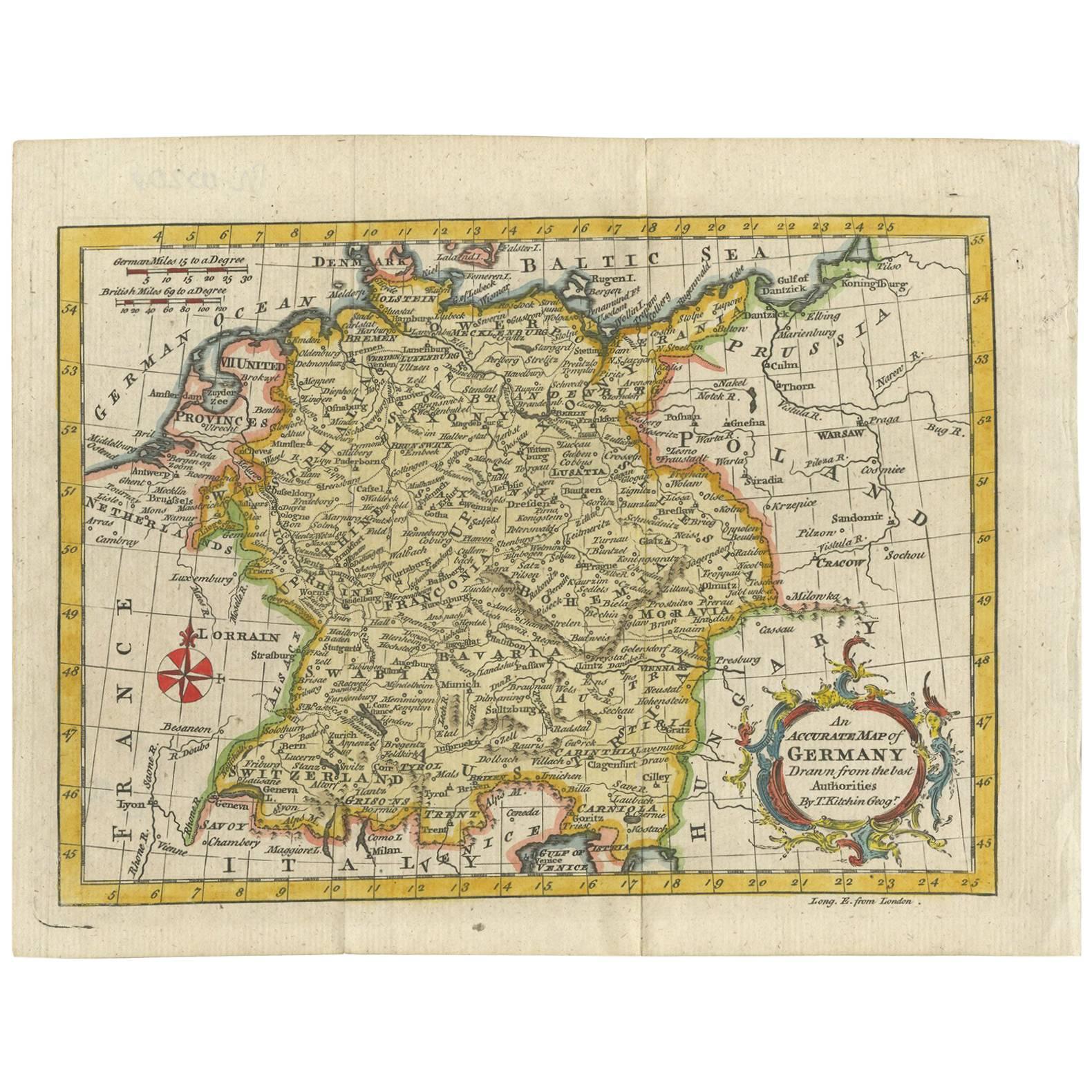
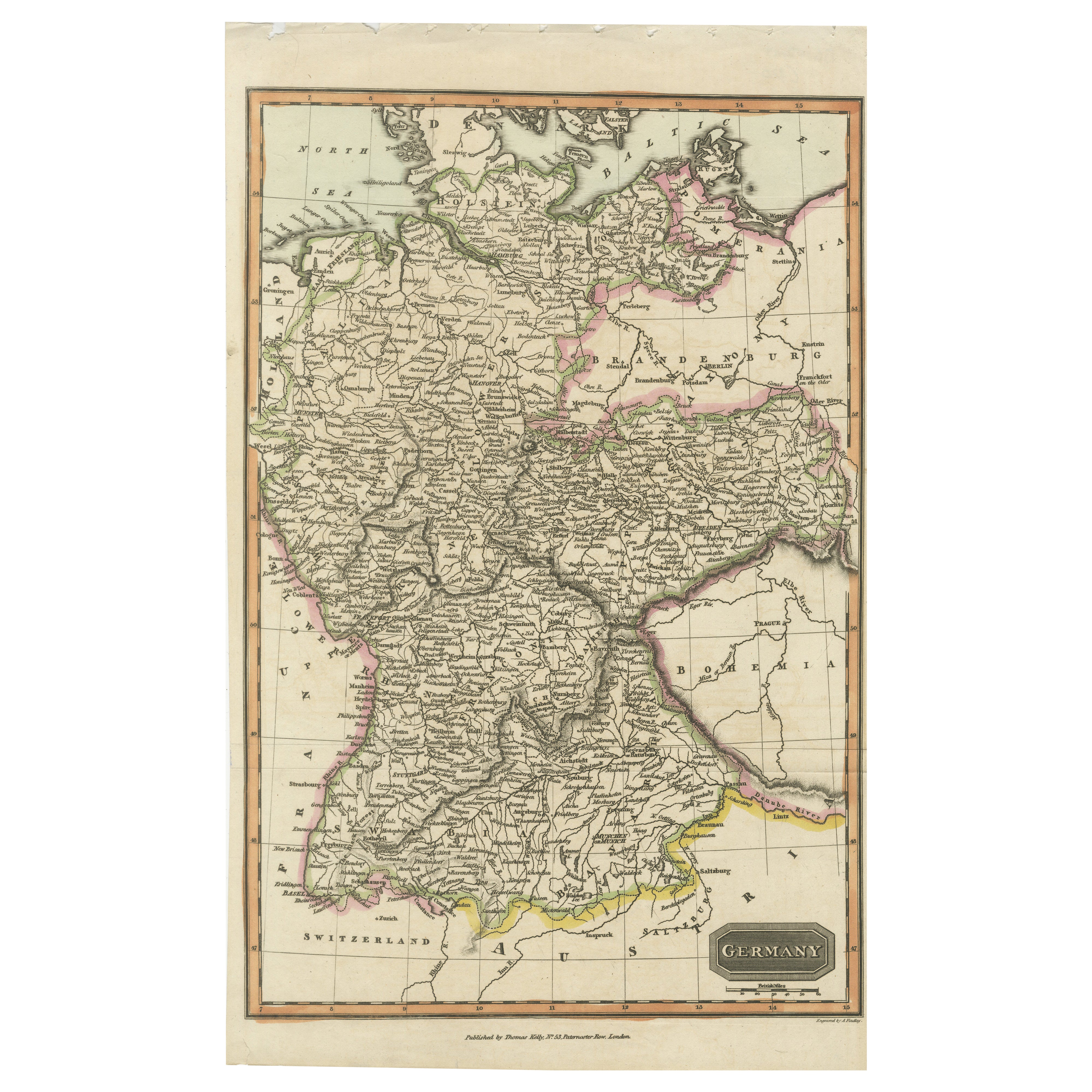
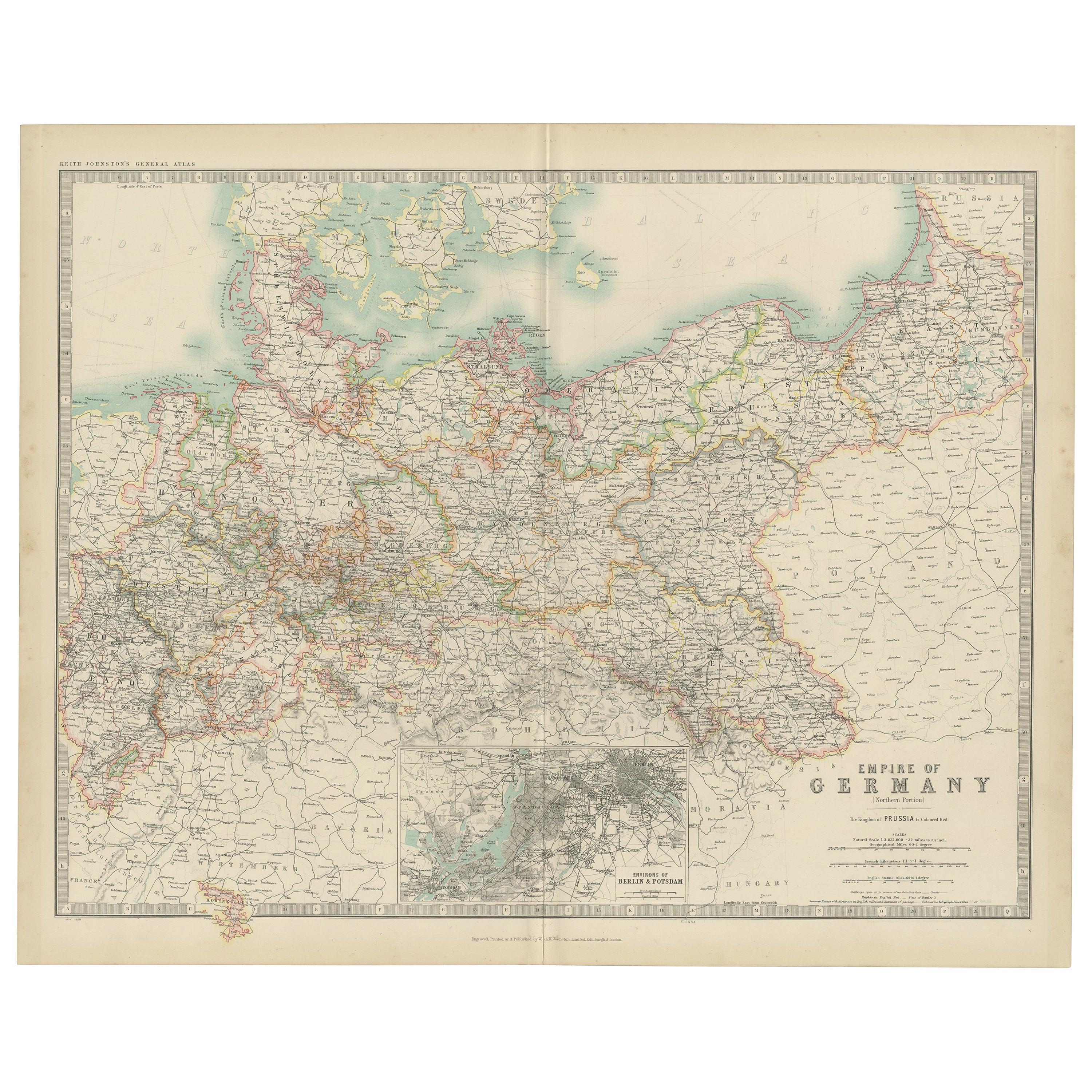
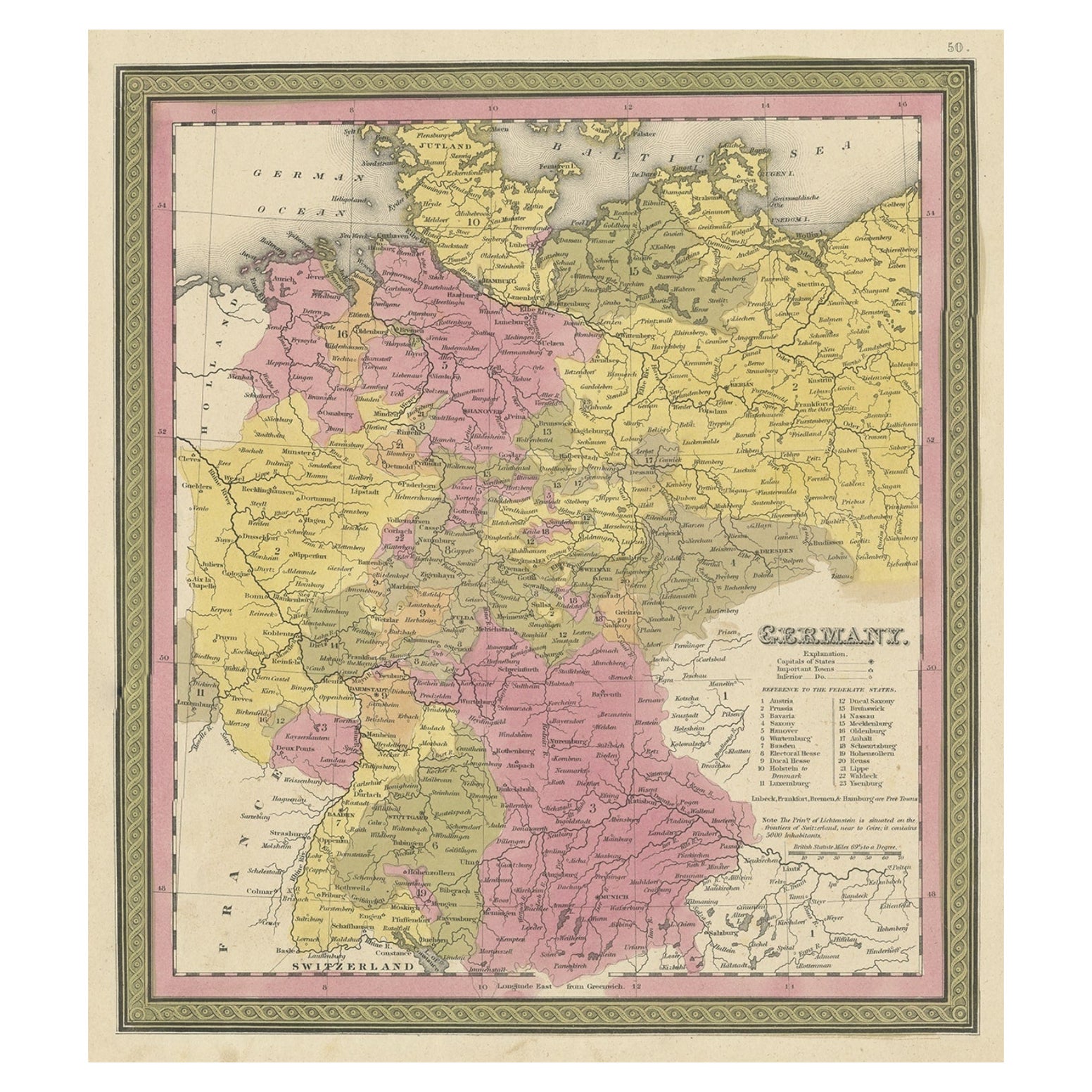
Antique map titled 'Germany'. Antique map of Germany engraved for 'Atlas to Walker's Geography'. Artists and Engravers: Engraved by W. Darton. Artist: Engraved by W. Darton. Condition: Very good, please study image carefully. Date: c.1802 Overall size: 25.5 x 21 cm. Image size: 22 x 18 cm. We sell original antique maps to collectors, historians, educators and interior decorators all over the world. Our collection includes a wide range of authentic antique maps from the 16th to the 20th centuries. Buying and collecting antique maps is a tradition that goes back hundreds of years. Antique maps have proved a richly rewarding investment over the past decade, thanks to a growing appreciation of their unique historical appeal. Today the decorative qualities of antique maps are widely recognized by interior designers who appreciate their beauty and design flexibility. Depending on the individual map, presentation, and context, a rare or antique map can be modern, traditional, abstract, figurative, serious or whimsical. We offer a wide range of authentic antique maps for any budget.
  • Dimensions:
    Height: 8.27 in (21 cm)Width: 10.04 in (25.5 cm)Depth: 0 in (0.01 mm)
  • Materials and Techniques:
  • Period:
  • Date of Manufacture:
    circa 1802
  • Condition:
  • Seller Location:
    Langweer, NL
  • Reference Number:
    Seller: BG-093231stDibs: LU3054326345782

More From This Seller

View All
Antique Map of Germany from a 17th Century Pocket Atlas, 1685

Antique Map of Germany from a 17th Century Pocket Atlas, 1685

Located in Langweer, NL

Antique map titled 'Nova Totius Germaniae descriptio.' Miniature map of Germany, from the pocket atlas 'Introductionis in Universam Geographiam tam Veterem...

Category

Antique 17th Century Maps

Materials

Paper
Antique Map of Germany from an American 19th Century Atlas, 1846

Antique Map of Germany from an American 19th Century Atlas, 1846

Located in Langweer, NL

Antique map titled 'Germany'. Old map of Germany. This map originates from 'A New Universal Atlas Containing Maps of the various Empires, Kingdoms, States and Republics Of The World ...

Category

Antique 19th Century Maps

Materials

Paper
Antique Map of Germany by Walker, 1820

Antique Map of Germany by Walker, 1820

By R. Walker

Located in Langweer, NL

Antique map Germany titled 'Map of Germany as defined by the Peace of Paris'. Detailed antique map of Germany. Artists and Engravers: Engrav...

Category

Antique 19th Century Maps

Materials

Paper
Antique Map of Germany During the Mid-18th Century, Published in 1747

Antique Map of Germany During the Mid-18th Century, Published in 1747

Located in Langweer, NL

Antique map Germany titled 'A New & Accurate Map of Germany'. It covers Germany during the mid-18th century, which included all of modern day Germany, Austria, Switzerland, Czech Rep...

Category

Antique 18th Century Maps

Materials

Paper
Antique Map of Germany and Central Europe, ca.1690

Antique Map of Germany and Central Europe, ca.1690

Located in Langweer, NL

Antique map titled 'S. Imperium Romano-Germanicum oder Teutschland mit seinen angrantzenden Königreichen und Provincien'. Original antique map of Germany...

Category

Antique Late 17th Century Dutch Maps

Materials

Paper

You May Also Like

1790 Thomas Stackhouse Map, Entitled "Russia in Europe, " , Ric.a004

1790 Thomas Stackhouse Map, Entitled "Russia in Europe, " , Ric.a004

Located in Norton, MA

1790 Thomas Stackhouse map, entitled "Russia in Europe" Ric.a004 Stackhouse, Thomas Russia in Europe [map] London: T. Stackhouse, 1783. Map. Matted hand-colored copper engraving. Image size: 14.5 x 15.25 inches. Mat size: 22.75 x 23.75 inches. A beautiful example of this map of Eastern Europe...

Category

Antique 17th Century Unknown Maps

Materials

Paper

Original Antique Map of Europe, Arrowsmith, 1820

Original Antique Map of Europe, Arrowsmith, 1820

Located in St Annes, Lancashire

Great map of Europe Drawn under the direction of Arrowsmith. Copper-plate engraving. Published by Longman, Hurst, Rees, Orme and Brown, 1820 ...

Category

Antique 1820s English Maps

Materials

Paper

1853 Map of "Russia in Europe Including Poland" Ric.r016

1853 Map of "Russia in Europe Including Poland" Ric.r016

Located in Norton, MA

Description Russia in Europe incl. Poland by J Wyld c.1853 Hand coloured steel engraving Dimension: Paper: 25 cm W x 33 cm H ; Sight: 22 cm W x 28 cm H Condition: Good ...

Category

Antique 19th Century Unknown Maps

Materials

Paper

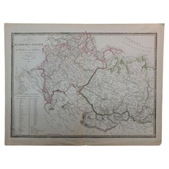
1839 Map of Karte Des "Russischen Reiches in Europa Und Asien" Ric.R0013

1839 Map of Karte Des "Russischen Reiches in Europa Und Asien" Ric.R0013

Located in Norton, MA

1839 map of Karte Des "Russischen Reiches in Europa and Asien" Ric.r013 Map of the European and Asian parts of Russian Empire. Karte der Russischen Reiches in Europa und Asien...

Category

Antique 19th Century Unknown Maps

Materials

Paper

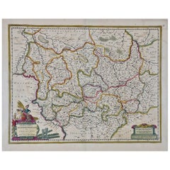
17th Century Hand-Colored Map of a Region in West Germany by Janssonius

17th Century Hand-Colored Map of a Region in West Germany by Janssonius

By Johannes Janssonius

Located in Alamo, CA

This attractive highly detailed 17th century original hand-colored map is entitled "Archiepiscopatus Maghdeburgensis et Anhaltinus Ducatus cum terris adjacentibus". It was published ...

Category

Antique Mid-17th Century Dutch Maps

Materials

Paper