
Want more images or videos?
Request additional images or videos from the seller.

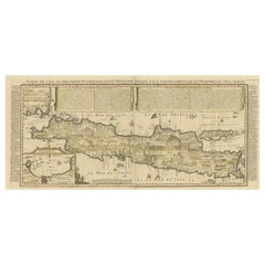
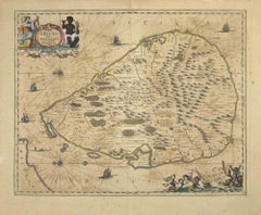
Antique Map of Java 'Indonesia' by Chatelain, 1719

$2,864.34
£2,128.24
€2,500VAT Included
CA$4,001.78
A$4,109.19
CHF 2,337.62
MX$53,969.83
NOK 26,566.34
SEK 27,960.78
DKK 19,058.44

About the Item

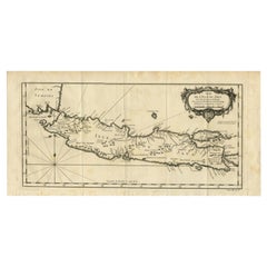
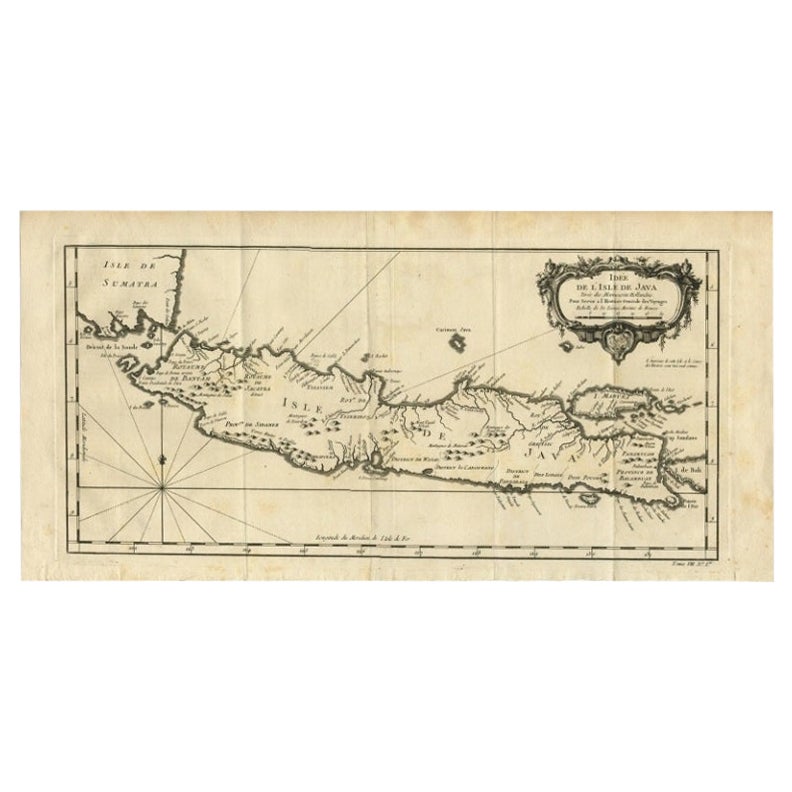
Antique map titled 'Carte de l'Ile de Java: Partie Occidentale, Partie Orientale, Dressee tout Nouvellement Sur Les Memoires Les Plus Exacts (..)'. This beautiful map of Java exists of two seperate sheets. It also shows a large portion of Sumatra and Bali. It shows the entire island of Java with such detail that even rice plantations, grazing lands, and forests are included with accuracy. The city and port of Batavia (Jakarta) can be found in the northwest portion of the island as well as in a large insert in the lower left portion of the map. Above the map are two drapery style title banners written by Gueudeville, that present the history of the island as well as the presence of the Dutch.
  • Dimensions:
    Height: 35.04 in (89 cm)Width: 40.75 in (103.5 cm)Depth: 0.02 in (0.5 mm)
  • Materials and Techniques:
  • Period:
  • Date of Manufacture:
    1719
  • Condition:
    Please study image carefully.
  • Seller Location:
    Langweer, NL
  • Reference Number:
    Seller: BG-113051stDibs: LU3054312116951

More From This Seller

View All
Antique French Map of Java, Indonesia by Chatelain, '1719'

Antique French Map of Java, Indonesia by Chatelain, '1719'

Located in Langweer, NL

Antique map titled 'Carte de l'Ile de Java: Partie Occidentale, Partie Orientale, Dressee tout Nouvellement Sur Les Memoires Les Plus Exacts (..)'. This beautiful map of Java (Indone...

Category

Antique Early 18th Century Maps

Materials

Paper
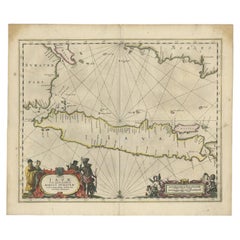
Antique Map of Java and Part of Borneo, Indonesia, c.1657

Antique Map of Java and Part of Borneo, Indonesia, c.1657

Located in Langweer, NL

Antique map titled 'Insulae Iavae cum parte insularum Boreno Sumatrae (..)'. Beautiful map of the island of Java and part of Borneo, Bali, Madura and Sumatra. With decorative carto...

Category

Antique 17th Century Maps

Materials

Paper

Antique Map of Java and Madura Island, Indonesia, c.1760

Antique Map of Java and Madura Island, Indonesia, c.1760

Located in Langweer, NL

Antique map titled 'Idee de l'Isle de Java.' Well engraved and attractive chart of the island shows all principal harbors and coastal details, plus rivers, mountains and volcanoe...

Category

Antique 18th Century Maps

Materials

Paper
Antique Map of Java in The Dutch East Indies, Now Indonesia, c.1690

Antique Map of Java in The Dutch East Indies, Now Indonesia, c.1690

Located in Langweer, NL

Antique map titled 'Insulae Iavae cum parte insularum Boreno Sumatrae (..)'. Beautiful map of the Island of Java and part of Borneo, Bali, Madura and Sumatra. Artists and Engrave...

Category

Antique 17th Century Maps

Materials

Paper
Antique Map of Java by Janssonius, circa 1650

Antique Map of Java by Janssonius, circa 1650

Located in Langweer, NL

Antique map titled 'Insulae Iavae cum parte insularum Borneo Sumatrae, et circumjacentium insularum novissima delineatio'. Beautiful map of Java and parts of Bali, Borneo, Sumatra an...

Category

Antique Mid-17th Century Maps

Materials

Paper
You May Also Like

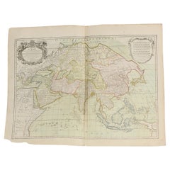
Antique French Map of Asia Including China Indoneseia India, 1783

Antique French Map of Asia Including China Indoneseia India, 1783

Located in Amsterdam, Noord Holland

Very nice map of Asia. 1783 Dedie au Roy. Additional information: Country of Manufacturing: Europe Period: 18th century Qing (1661 - 1912) Condition: Overall Condition B (Good Used)...

Category

Antique 18th Century European Maps

Materials

Paper

Tabula Indiae Orientalis - Etching by Frederick de Wit - 1680ca

Tabula Indiae Orientalis - Etching by Frederick de Wit - 1680ca

By Frederick de Wit

Located in Roma, IT

This double-page etching with contemporary coloring, entitled Tabula Indiae orientalis, was realized by the cartographer Frederick de Wit for the famous Atlas published in Amsterdam ...

Category

1680s Modern Figurative Prints

Materials

Etching

Antique 1803 Italian Map of Asia Including China Indoneseia India

Antique 1803 Italian Map of Asia Including China Indoneseia India

Located in Amsterdam, Noord Holland

Antique 1803 Italian Map of Asia Including China Indoneseia India Very nice map of Asia. 1803. Additional information: Type: Map Country of Manufacturing: Europe Period: 19th centu...

Category

Antique 19th Century European Maps

Materials

Paper