Want more images or videos?
Request additional images or videos from the seller.

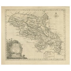
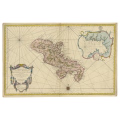
Antique Map of Martinique with Title Cartouche Garnished with Sugar Cane, c.1760

$1,049.36
£793.01
€930VAT Included
CA$1,496.14
A$1,542.40
CHF 876.38
MX$19,523.99
NOK 10,035.78
SEK 10,513.72
DKK 7,091.36

About the Item

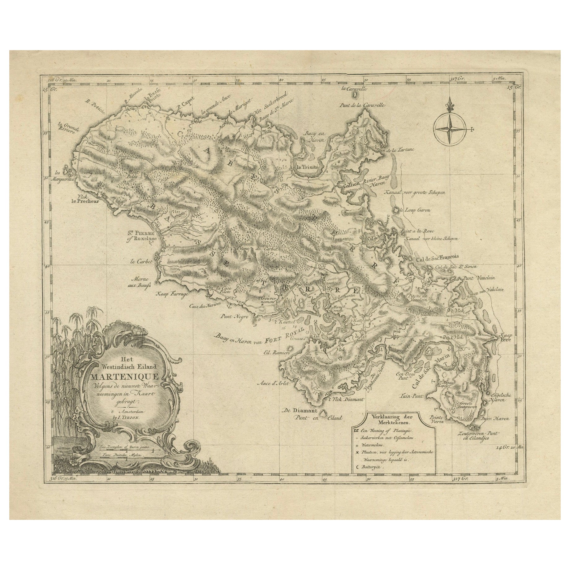
Antique map titled 'Het Westindisch Eiland Martenique'. Decorative map of Martinique filled with good detail of roads, topography, soundings, villages, windmills, and plantations. The title cartouche incorporates the distance scales and is garnished with sugar cane. A small compass rose completes the composition. Source unknown, to be determined. Artists and Engravers: Isaak Tirion, a Dutch publisher in Amsterdam, was born 1705. He produced serveral Atlases and Dutch town plans. The maps mainly based on those of Guillaume de l'Isle. He died in 1765. Tirion was born in Utrecht in 1705. He moved to Amsterdam in 1725 and set up shop on Damrak as a book publisher. Tirion quick rose in prominence by publishing pamphlets, historical works, and, most importantly, maps and atlases. He eventually relocated his printing house to the prestigious Kalverstraat. In his long career he produced eight atlases in multiple editions, some of which were published posthumously until about 1784. Most of his cartographic work is based on the earlier maps of Guillaume de L'Isle. Artist: Isaak Tirion, a Dutch publisher in Amsterdam, was born 1705. He produced serveral Atlases and Dutch town plans. The maps mainly based on those of Guillaume de l'Isle. He died in 1765. Tirion was born in Utrecht in 1705. He moved to Amsterdam in 1725 and set up shop on Damrak as a book publisher. Tirion quick rose in prominence by publishing pamphlets, historical works, and, most importantly, maps and atlases. He eventually relocated his printing house to the prestigious Kalverstraat. In his long career he produced eight atlases in multiple editions, some of which were published posthumously until about 1784. Most of his cartographic work is based on the earlier maps of Guillaume de L'Isle. Condition: Good, given age. Tiny tear right edge; backed. Original folds as issued. General age-related toning and/or occasional minor defects from handling. Please study image carefully. Date: c.1760 Overall size: 39.5 x 35.5 cm. Image size: 36.8 x 30.9 cm.
  • Dimensions:
    Height: 15.56 in (39.5 cm)Width: 13.98 in (35.5 cm)Depth: 0 in (0.01 mm)
  • Materials and Techniques:
  • Period:
  • Date of Manufacture:
    circa 1760
  • Condition:
    Condition: Good, given age. Tiny tear right edge; backed. Original folds as issued. General age-related toning and/or occasional minor defects from handling. Please study image carefully.
  • Seller Location:
    Langweer, NL
  • Reference Number:
    Seller: PCT-587781stDibs: LU3054326373512

More From This Seller

View All
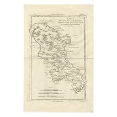
Antique Map of Martinique, Showing Roads, Houses, Sugar Plantations, etc. c.1750

Antique Map of Martinique, Showing Roads, Houses, Sugar Plantations, etc. c.1750

Located in Langweer, NL

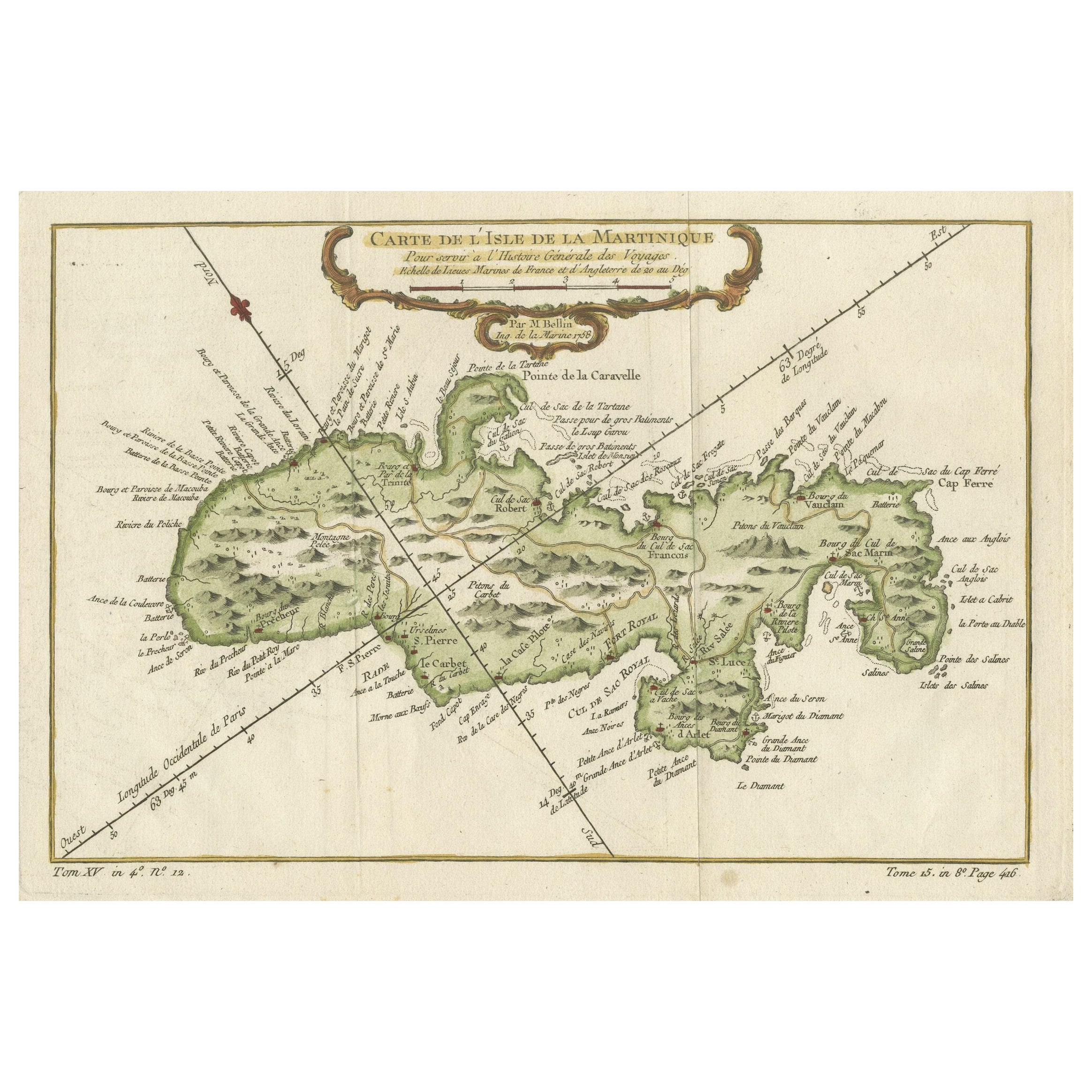
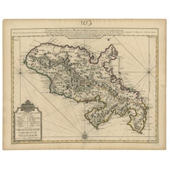
Antique map titled 'Carte de l'Isle de la Martinique'. Detailed map of Martinique. Shows hilly terrain, forests, roads, houses, and even the sugar plantations. The island was to ...

Category

Antique 18th Century Maps

Materials

Paper

18th Century Original Dutch Map of Martinique in The West Indies by Isaak Tirion

18th Century Original Dutch Map of Martinique in The West Indies by Isaak Tirion

Located in Langweer, NL

This is an 18th-century Dutch map of Martinique, titled *Het Westindisch Eiland Martinique*. The map was produced by Isaak Tirion, a renowned Dutch cartographer and publisher known for his precise and beautifully crafted maps. The cartouche in the lower left corner, adorned with decorative elements, adds to the aesthetic appeal of the map. ### Key Features: - Martinique: The map offers detailed topographical information of the island, including mountains, rivers, and settlements. - Geographical Details: Locations such as Fort Royal, Bay de St. Pierre, and Point de Cloche are marked, showcasing significant features of the island. - Cartouche: The ornate cartouche, featuring tropical plants, reflects the importance of the island's agricultural production during the colonial period, particularly its sugar plantations. This map captures Martinique during its time as a French colony and provides valuable insight into the island’s layout and strategic significance in the Caribbean. The attention to coastal detail highlights the importance of Martinique as a hub of maritime activity. The map’s combination of aesthetic elegance and cartographic precision makes it a remarkable piece for collectors and those interested in Caribbean colonial...

Category

Antique 1760s Maps

Materials

Paper

Antique Map of Martinique by Rigobert Bonne, Circa 1780

Antique Map of Martinique by Rigobert Bonne, Circa 1780

Located in Langweer, NL

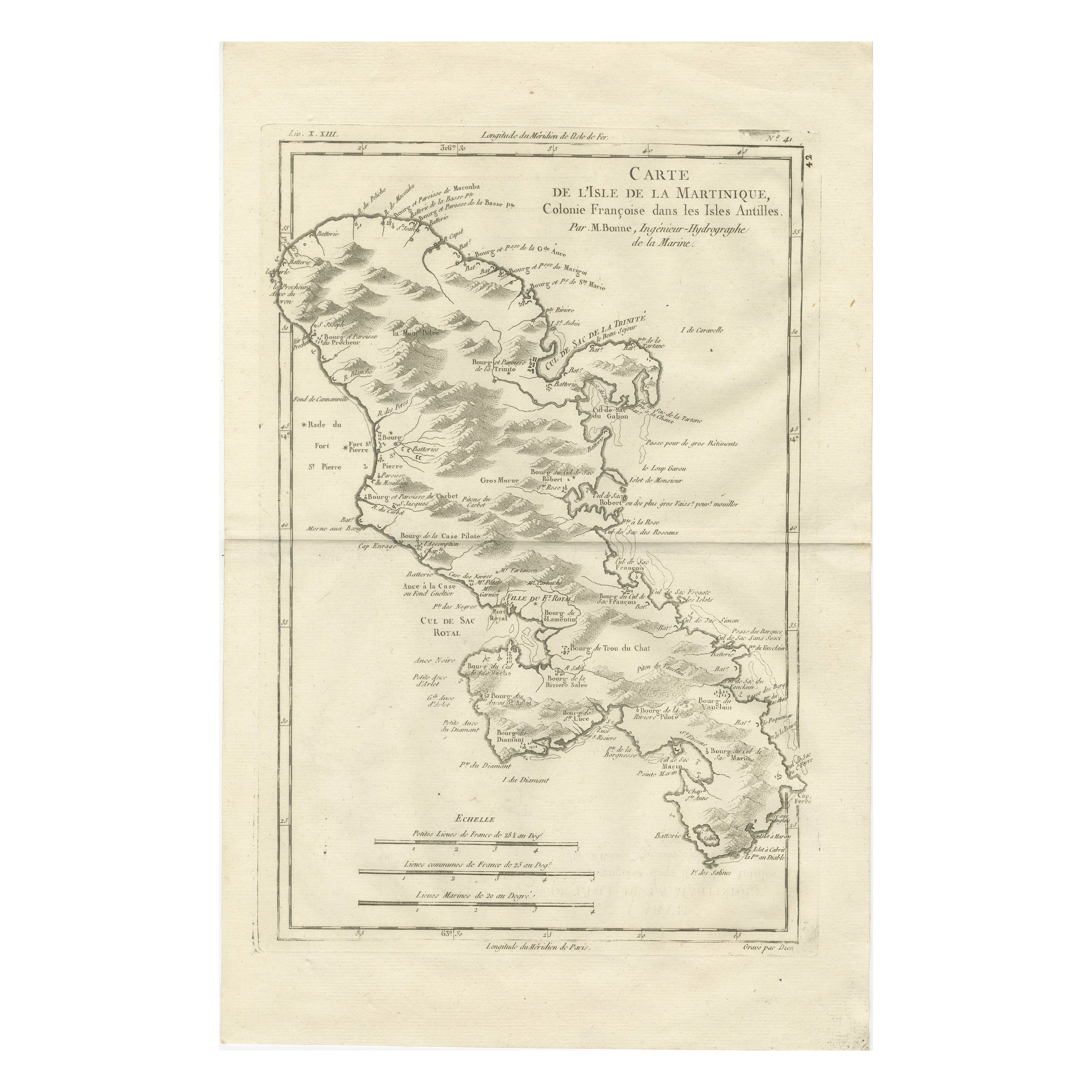
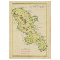
Antique map titled 'Carte de l'Isle de la Martinique Colonie Francoise dans les Isles Antilles'. Detailed map of the French Island of Martinique. Many towns and harbours, anchor pl...

Category

Antique 18th Century French Maps

Materials

Paper

Antique Map Martinique Caribbean Island Chart, Rigobert Bonne French Map, c.1780

Antique Map Martinique Caribbean Island Chart, Rigobert Bonne French Map, c.1780

Located in Langweer, NL

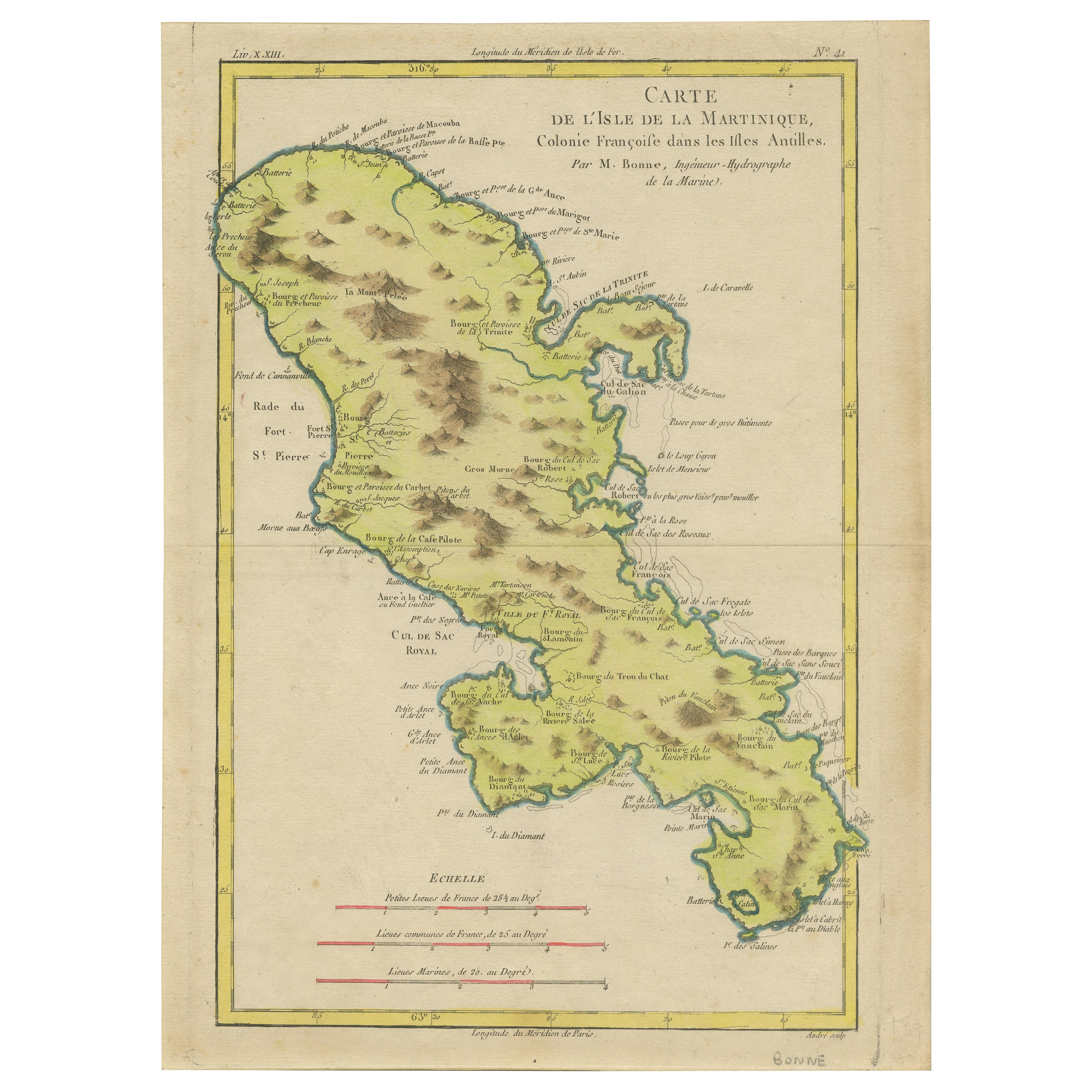
Antique Map Martinique Caribbean Island Chart, Rigobert Bonne French Map c1780 This finely engraved eighteenth-century map of Martinique was produced by Rigobert Bonne, one of the most influential figures in Enlightenment-era French cartography. Engraved circa 1780 during Bonne’s tenure as Ingénieur-Hydrographe de la Marine and chief cartographer at the Dépôt de la Marine in Paris, the map reflects the period’s transformation toward scientific precision, clarity of design, and the systematic integration of geographic intelligence. Bonne succeeded Jacques-Nicolas Bellin and played a key role in advancing modern cartographic standards, emphasizing accuracy and legibility over the elaborate decorative elements characteristic of earlier baroque maps. Titled “Carte de l’Isle de la Martinique, Colonie Française dans les Isles Antilles,” the map presents a detailed view of the island’s geography, settlements, and coastal features during the height of French colonial activity in the Caribbean. The mountainous interior is rendered with delicate hachuring, creating a strong sense of topographic relief while maintaining the restrained elegance typical of Bonne’s mature engraving style. Numerous towns, anchorages, bays, rivers, and administrative divisions are carefully labeled, including Saint-Pierre, Fort Royal (modern Fort-de-France), Le Marin, La Trinité, and Cul-de-Sac Royal. Coastal batteries, ports, and navigational features highlight the strategic maritime importance of Martinique within the French Antilles. The balanced composition demonstrates Bonne’s commitment to clarity and scientific organization. A simple border frame and refined typographic hierarchy reinforce the visual harmony of the sheet, allowing the geography itself to remain the focus. Such maps were essential tools for navigation, administration, and military planning, reflecting the intense geopolitical competition among European colonial powers in the Caribbean during the late eighteenth century. Today, Bonne’s Caribbean maps are prized for their combination of historical significance, elegant engraving, and scholarly credibility. The clean aesthetic and clear geographic structure make this piece equally suitable for collectors of early cartography and for refined decorative display in contemporary or classical interiors. Condition report: Good antique condition with age-related toning and light paper wear; visible original central fold as issued; minor scattered spotting and faint handling marks typical for eighteenth-century prints; margins remain generous and suitable for framing. Framing tips: Particularly striking when framed in dark walnut or black with an ivory or warm off-white mat; museum-style float mounting can emphasize the plate impression and historic paper tone while preserving the elegant simplicity of Bonne’s design. Technique: Copperplate engraving Maker: Rigobert Bonne, France, circa 1780 Keyword block: Martinique antique map, Rigobert Bonne map, French Antilles map, Caribbean colonial map, Fort Royal Martinique map, Saint-Pierre Martinique map, French hydrographic chart, Dépôt de la Marine cartography, Enlightenment era map, 18th century Caribbean engraving, West Indies map, French colonial geography, antique Martinique chart, scientific cartography France, Bellin successor Bonne, Caribbean island engraving, antique nautical map...

Category

Antique Late 18th Century French Maps
Materials

Paper

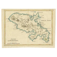
Martinique Map by Rigobert Bonne – French Antique Map, c.1768

Martinique Map by Rigobert Bonne – French Antique Map, c.1768

Located in Langweer, NL

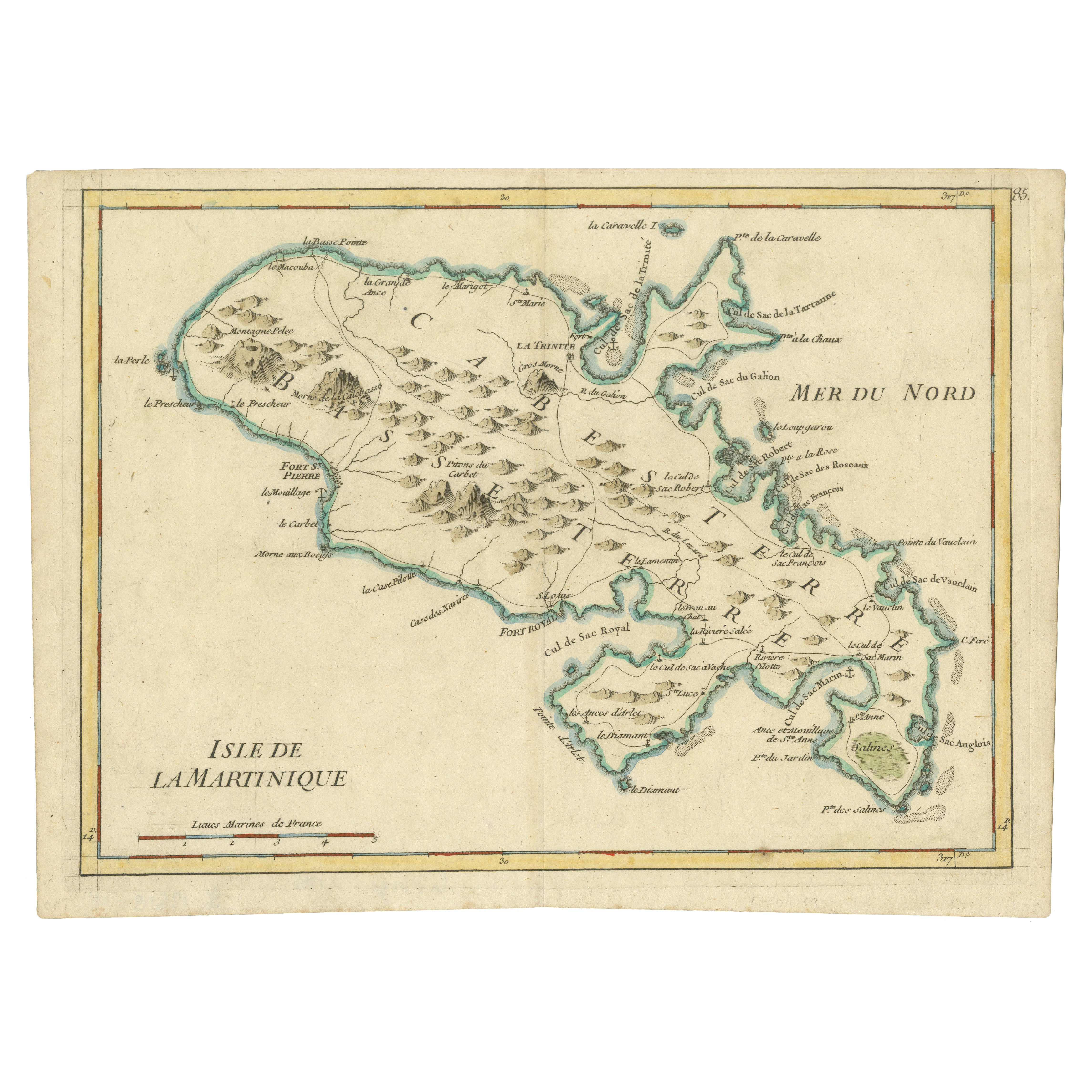
Map of Martinique by Rigobert Bonne, circa 1768 This is a detailed antique map of Martinique titled “Isle de la Martinique,” engraved by Rigobert Bonne around 1768 for the Atlas Encyclopédique. Bonne, a renowned French hydrographer and successor to Bellin, is celebrated for his scientifically precise and elegantly engraved maps. The map shows Martinique with its mountainous interior, rivers, and settlements labelled, including Fort Royal, Fort St. Pierre, Le Marin, and Le Prêcheur. Coastal features, bays, and capes are marked, along with anchorages important for maritime navigation in the 18th century. The depiction includes relief shown pictorially, characteristic of Bonne’s cartographic style, enhancing both geographic understanding and aesthetic appeal. This copperplate engraving retains original hand colouring outlining the coastlines in delicate blue and brown tones, typical for the period. It served as a key reference for scholars, navigators, and colonial administrators during France’s colonial presence in the Caribbean. Condition: Good condition overall. A strong impression with bright, original hand-colour outlines. General age toning, faint offsetting, and a vertical fold as issued in the atlas. Margins ample all around for framing. Framing suggestions: This historic Caribbean map...

Category

Antique 1760s French Maps

Materials

Paper

You May Also Like

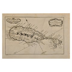
St. Christophe 'St. Kitts' Island: An 18th Century Hand-colored Map by Bellin

St. Christophe 'St. Kitts' Island: An 18th Century Hand-colored Map by Bellin

By Jacques-Nicolas Bellin

Located in Alamo, CA

Jacques Bellin's copper-plate map of the Caribbean island of Saint Kitts entitled "Carte De De l'Isle St. Christophe Pour servir á l'Histoire Genle. des V...

Category

Antique Mid-18th Century French Maps
Materials

Paper

West Coast of Africa, Guinea & Sierra Leone: An 18th Century Map by Bellin

West Coast of Africa, Guinea & Sierra Leone: An 18th Century Map by Bellin

By Jacques-Nicolas Bellin

Located in Alamo, CA

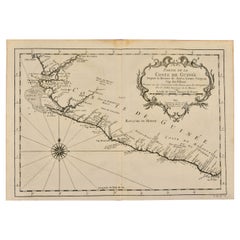
Jacques Bellin's copper-plate map entitled "Partie de la Coste de Guinee Dupuis la Riviere de Sierra Leona Jusquau Cap das Palmas", depicting the coast of Guinea and Sierra Leone in ...

Category

Antique Mid-18th Century French Maps
Materials

Paper

Original Antique Map of South America. C.1780

Original Antique Map of South America. C.1780

Located in St Annes, Lancashire

Great map of South America Copper-plate engraving Published C.1780 Two small worm holes to left side of map Unframed.

Category

Antique Early 1800s English Georgian Maps

Materials

Paper

Map Of The Island Of Cuba - Guillaume Thomas Raynal (1711-1796)

Map Of The Island Of Cuba - Guillaume Thomas Raynal (1711-1796)

Located in Porto, PT

This historical map of the Island of Cuba was produced in the late 18th century and is taken from an edition of “Atlas de toutes les parties connues du globe terrestre” by the French...

Category

Antique 18th Century Prints

Materials

Glass, Paper