
Want more images or videos?
Request additional images or videos from the seller.

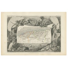
Antique Map of Northern Africa by Perthes, 1848

$111.71
£84.42
€99VAT Included
CA$159.27
A$164.19
CHF 93.29
MX$2,078.36
NOK 1,068.32
SEK 1,119.20
DKK 754.89

About the Item

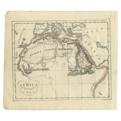
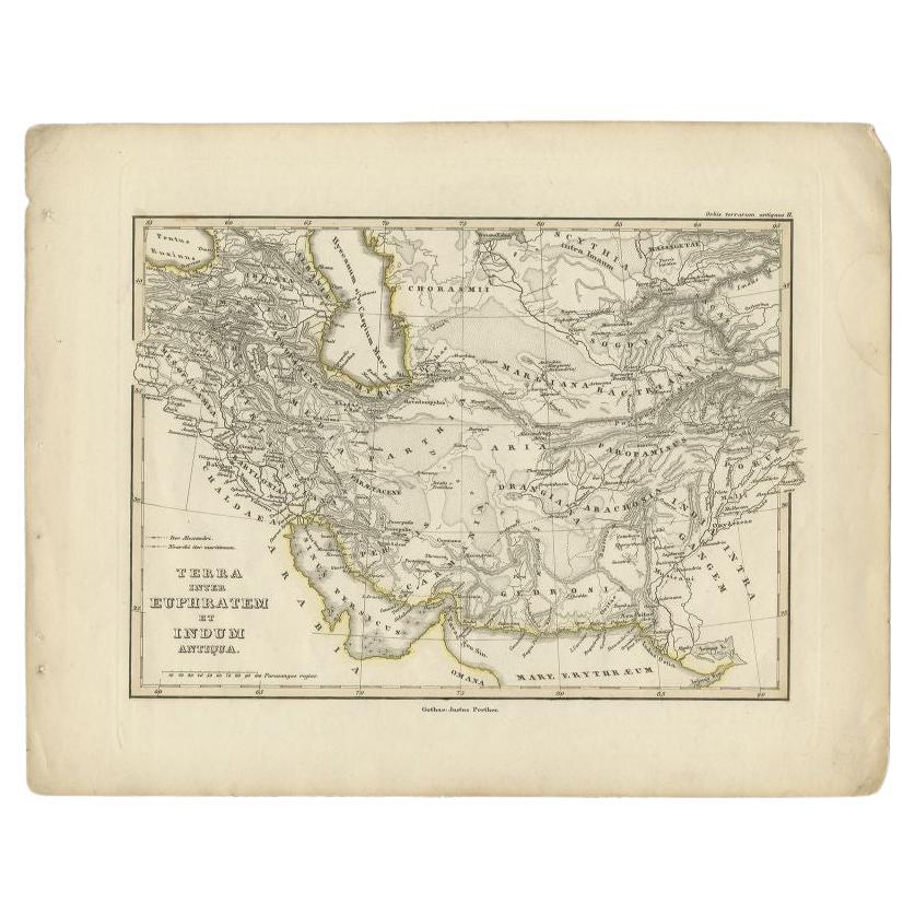
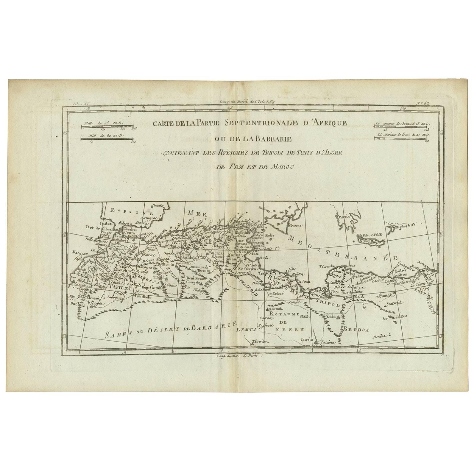
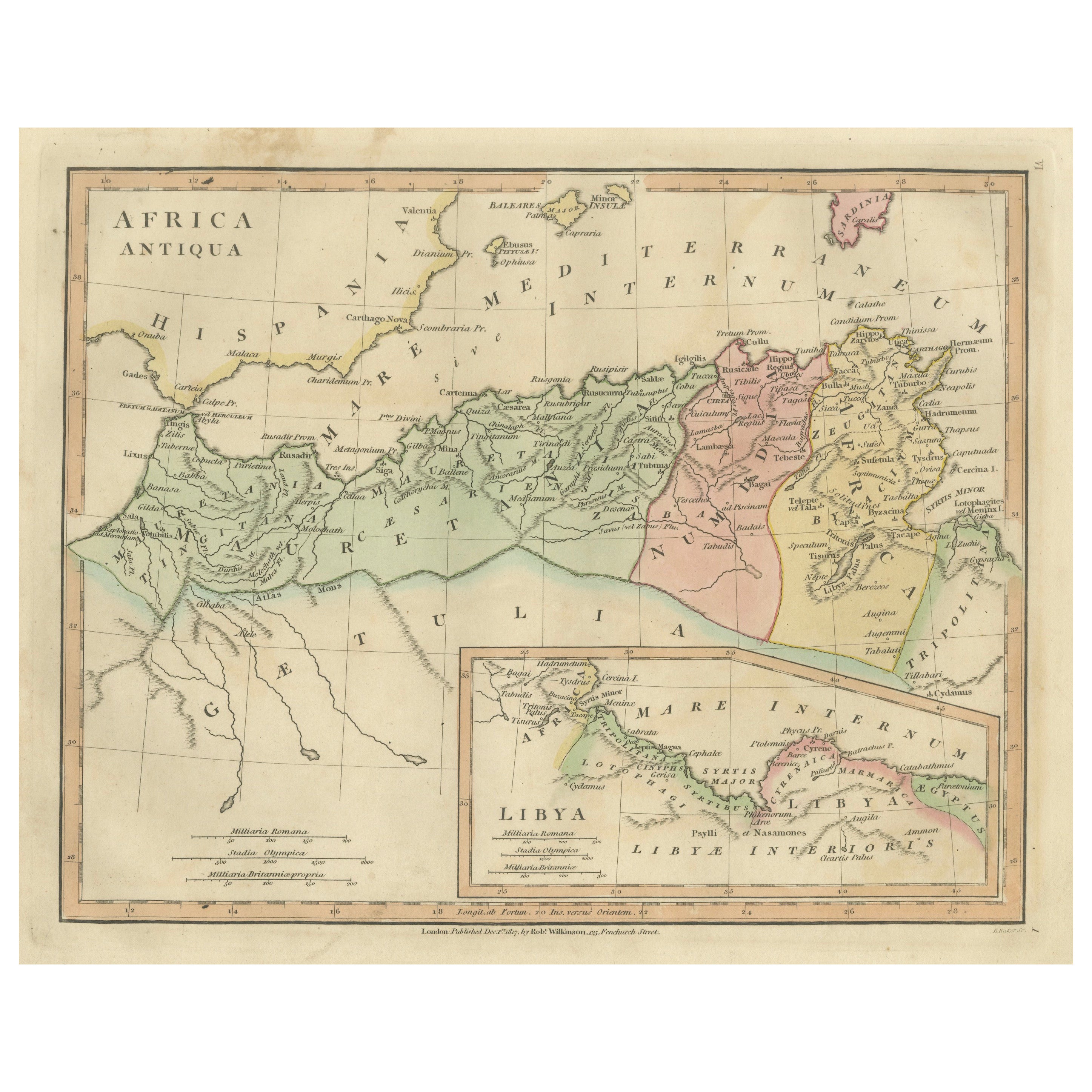
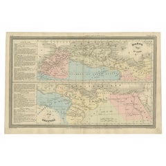
Antique map titled 'Africa Propria (..)'. Old map of North Africa and the region of Babylon originating from 'Orbis Terrarum Antiquus in usum Scholarum'. Artists and Engravers: Published by Justus Perthes, 1848. Artist: Published by Justus Perthes, 1848. Condition: Good, general age-related toning. Minor defects, please study image carefully. Date: 1848 Overall size: 31.8 x 24.8 cm. Image size: 0.001 x 22.7 x 17.8 cm. Antique prints have long been appreciated for both their aesthetic and investment value. They were the product of engraved, etched or lithographed plates. These plates were handmade out of wood or metal, which required an incredible level of skill, patience and craftsmanship. Whether you have a house with Victorian furniture or more contemporary decor an old engraving can enhance your living space.
  • Dimensions:
    Height: 9.77 in (24.8 cm)Width: 12.52 in (31.8 cm)Depth: 0 in (0.01 mm)
  • Materials and Techniques:
  • Period:
  • Date of Manufacture:
    1848
  • Condition:
  • Seller Location:
    Langweer, NL
  • Reference Number:
    Seller: BG-11845-81stDibs: LU3054327622072

More From This Seller

View All
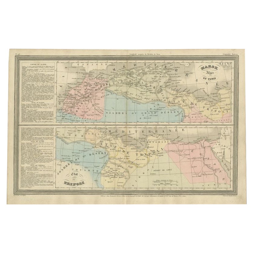
French Antique Map of Northern Africa and Libya, c.1840

French Antique Map of Northern Africa and Libya, c.1840

Located in Langweer, NL

Antique map titled 'Marok, Alger et Tunis - Etat de Tripoli'. Map of Northern Africa and Libya. This map originates from 'Le globe Atlas classique Universel de géographie ancienne et...

Category

Antique 19th Century Maps

Materials

Paper
Antique 1842 Map of the Barbary Coast by Pierre M. Lapie, France

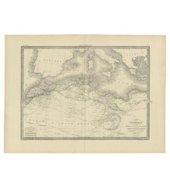
Antique 1842 Map of the Barbary Coast by Pierre M. Lapie, France

Located in Langweer, NL

Antique map titled 'Carte de la Barbarie contenant l'Empire de Maroc (..)'. Map of the Barbary Coast. This map originates from 'Atlas universel de géographie ancienne et moderne (..)...

Category

Antique 19th Century French Maps

Materials

Paper

Antique Map of the French Colony of Algeria by V. Levasseur, 1854

Antique Map of the French Colony of Algeria by V. Levasseur, 1854

By Victor Levasseur

Located in Langweer, NL

Antique map titled 'Algérie, Colonie Francaise'. Shows the region divided into the administrative provinces of Oban, Alger, and Constantine. The map proper is surrounded by elaborate...

Category

Antique Mid-19th Century Maps

Materials

Paper

Antique Map of North Africa and South Africa by Black, 1854

Antique Map of North Africa and South Africa by Black, 1854

Located in Langweer, NL

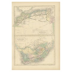
Antique map titled 'Africa north part - Africa south part'. Old map of Africa showing the region of Morocco, Algeria and South Africa. This map orginates from 'General Atlas Of The W...

Category

Antique 19th Century British Maps

Materials

Paper

Antique Map of Algeria and the French Colonies, 1875

Antique Map of Algeria and the French Colonies, 1875

Located in Langweer, NL

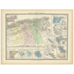
Antique map titled 'Algérie et Colonies Francaises'. Large map of Algeria and the French Colonies. This map originates from 'Atlas de Géographie Moderne Physique et Politique' by A. ...

Category

Antique Late 19th Century French Maps

Materials

Paper

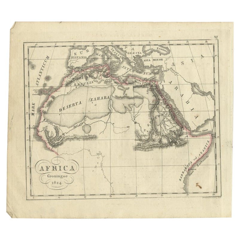
Antique Map of Northern Africa from a Rare Dutch Atlas, 1825

Antique Map of Northern Africa from a Rare Dutch Atlas, 1825

Located in Langweer, NL

Antique map titled 'Africa'. Old map of the African continent originating from 'Atlas der Oude Wereld'. Artists and Engravers: Published by C. Ph. Funke and W. van Boekeren, Gron...

Category

Antique 19th Century Maps

Materials

Paper
You May Also Like

Original Antique Map of South Italy By J.Dower. Unframed, Circa 1835

Original Antique Map of South Italy By J.Dower. Unframed, Circa 1835

Located in St Annes, Lancashire

Great map of South Italy Drawn and engraved by J.Dower Published by Orr & Smith. C.1835 Unframed. Free shipping

Category

Antique 1830s English Maps

Materials

Paper

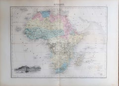
Original Antique Map of Afrca By Jean Migeon, Paris. C.1860

Original Antique Map of Afrca By Jean Migeon, Paris. C.1860

Located in St Annes, Lancashire

Great decorative map of Africa Published by Jean Migeon, Paris C.1860 Original colour Unframed. Free shipping

Category

Antique 1860s French Maps

Materials

Paper

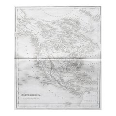
Original Antique Map of North America by Dower, circa 1835

Original Antique Map of North America by Dower, circa 1835

Located in St Annes, Lancashire

Nice map of North America Drawn and engraved by J.Dower Published by Orr & Smith. C.1835 Unframed. Free shipping

Category

Antique 1830s English Maps

Materials

Paper

Original Antique Map of Africa by Dower, circa 1835

Original Antique Map of Africa by Dower, circa 1835

Located in St Annes, Lancashire

Nice map of Africa Drawn and engraved by J.Dower Published by Orr & Smith. C.1835 Unframed. Free shipping

Category

Antique 1830s English Maps

Materials

Paper

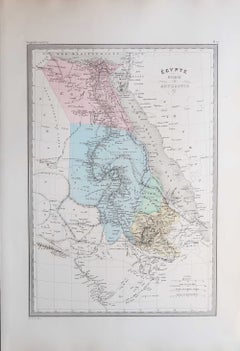
Original Antique Map of Egypt By Jean Migeon, Paris. C.1860

Original Antique Map of Egypt By Jean Migeon, Paris. C.1860

Located in St Annes, Lancashire

Great decorative map of Egypt Published by Jean Migeon, Paris C.1860 Original colour Unframed. Free shipping

Category

Antique 1860s French Maps

Materials

Paper

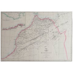
Large Original Antique Map of Morocco. Edward Weller, 1861

Large Original Antique Map of Morocco. Edward Weller, 1861

Located in St Annes, Lancashire

Great map of Morocco Lithograph engraving by Edward Weller Original colour Published, 1861 Unframed Good condition.    

Category

Antique 1860s English Victorian Maps

Materials

Paper