
Want more images or videos?
Request additional images or videos from the seller.

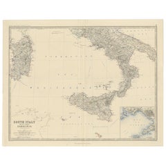
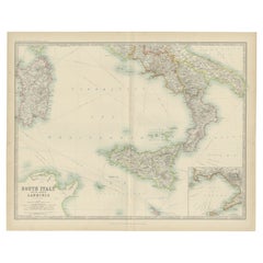
Antique Map of Southern Italy and Sardinia by Johnston, 1882

$112.83
£85.27
€100VAT Included
CA$160.87
A$165.85
CHF 94.23
MX$2,099.35
NOK 1,079.12
SEK 1,130.51
DKK 762.51

About the Item

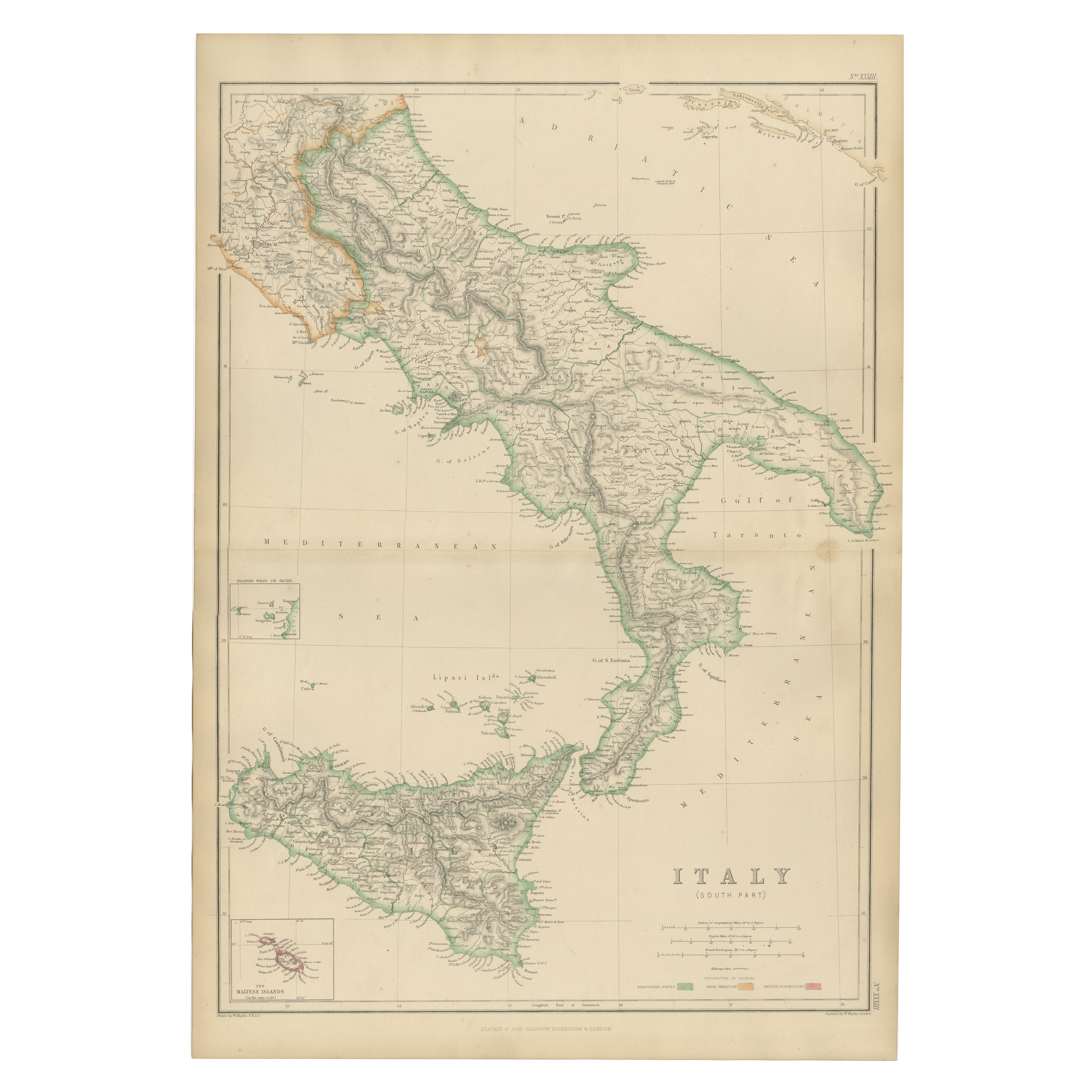
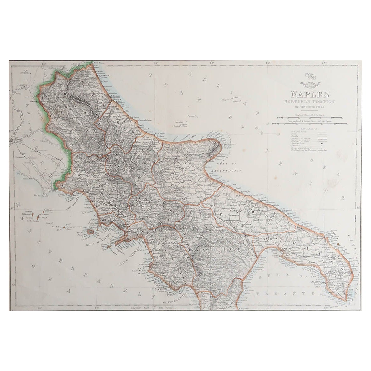
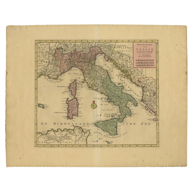
"Antique map titled 'South Italy and the Island of Sardinia'. Old map of Southern Italy and the island of Sardinia. With an inset map of the Bay of Naples. This map originates from 'The Royal Atlas of Modern Geography, Exhibiting, in a Series of Entirely Original and Authentic Maps, the Present Condition of Geographical Discovery and Research in the Several Countries, Empires, and States of the World' by A.K. Johnston. Published by W. and A.K. Johnston, 1882. Artists and Engravers: Alexander Keith Johnston LLD (1804-1871) was a Scottish geographer. He was a pupil of the Edinburgh engraver and mapmaker, James Kirkwood. In 1826, he joined his brother William (who would become Sir William Johnston, Lord Provost of Edinburgh) in a printing and engraving business, forming the well-known cartographical firm of W. and A. K. Johnston. Artist: Alexander Keith Johnston LLD (1804-1871) was a Scottish geographer. He was a pupil of the Edinburgh engraver and mapmaker, James Kirkwood. In 1826, he joined his brother William (who would become Sir William Johnston, Lord Provost of Edinburgh) in a printing and engraving business, forming the well-known cartographical firm of W. and A. K. Johnston. Condition: Fair, general age-related toning. Large split on center of folding line. Please study image carefully. Date: 1882 Overall size: 61.5 x 49.5 cm. Image size: 0.001 x 57.4 x 44.4 cm. Antique prints have long been appreciated for both their aesthetic and investment value. They were the product of engraved, etched or lithographed plates. These plates were handmade out of wood or metal, which required an incredible level of skill, patience and craftsmanship. Whether you have a house with Victorian furniture or more contemporary decor an old engraving can enhance your living space. We offer a wide range of authentic antique prints for any budget.".
  • Dimensions:
    Height: 19.49 in (49.5 cm)Width: 24.22 in (61.5 cm)Depth: 0 in (0.01 mm)
  • Materials and Techniques:
  • Period:
  • Date of Manufacture:
    1882
  • Condition:
  • Seller Location:
    Langweer, NL
  • Reference Number:
    Seller: BG-11823-141stDibs: LU3054327662102

More From This Seller

View All
Map of The Italian Peninsula with the islands of Sicily, Sardinia, Corsica, 1880

Map of The Italian Peninsula with the islands of Sicily, Sardinia, Corsica, 1880

Located in Langweer, NL

This map, titled "ITALIA, Sicilia, Sardinia, Corsica," represents the Italian Peninsula along with the islands of Sicily, Sardinia, and Corsica. Inset maps offer detailed views of "R...

Category

Antique 1880s Maps

Materials

Paper

Original Antique Map of Italy with an Inset of Sardinia, 1882

Original Antique Map of Italy with an Inset of Sardinia, 1882

Located in Langweer, NL

Embark on a historical odyssey with an original Antique Map of Italy from the esteemed 'Comprehensive Atlas and Geography of the World,' meticulously crafted in 1882. This captivatin...

Category

Antique 1880s Maps

Materials

Paper

Antique Map of The Regions of Italy and Sicily during the Roman Empire, 1880

Antique Map of The Regions of Italy and Sicily during the Roman Empire, 1880

Located in Langweer, NL

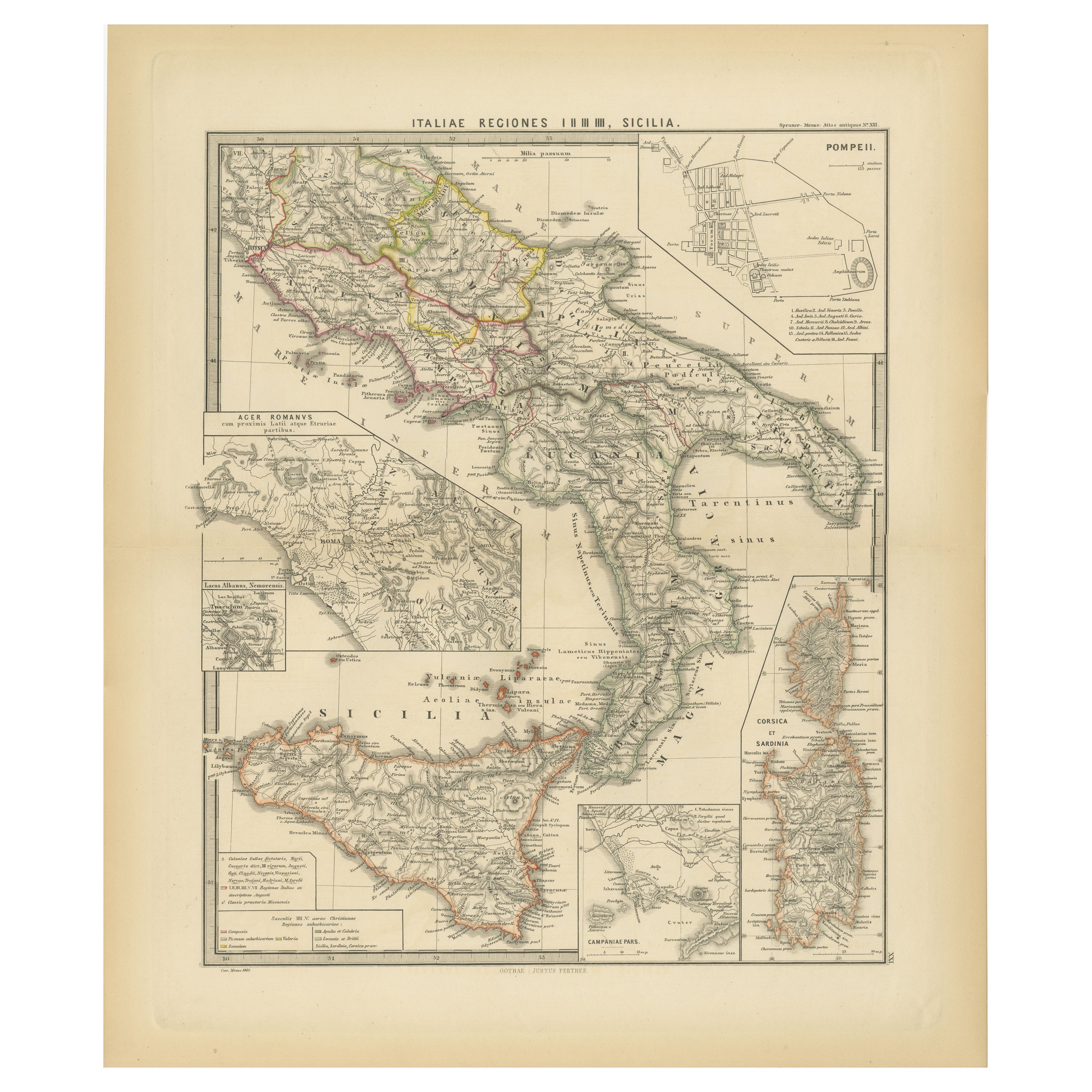
This map is an original antique engraving titled "ITALIAE REGIONES IIII SICILIA," which translates to "The Regions of Italy and Sicily." This detailed historical map portrays the reg...

Category

Antique 1880s Maps

Materials

Paper

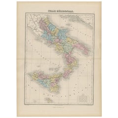
Antique Map of Southern Italy by Migeon, 1880

Antique Map of Southern Italy by Migeon, 1880

Located in Langweer, NL

"Antique map titled 'Italie Méridionale'. Old map of southern Italy including Sicily/Sicilia. This map originates from 'Géographie Universelle Atlas-Mig...

Category

Antique 19th Century Maps

Materials

Paper
You May Also Like

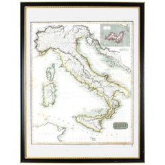
Antique Map of Italy Drawn & Engraved by R. Scott for Thomsons, Edinburgh 1814

Antique Map of Italy Drawn & Engraved by R. Scott for Thomsons, Edinburgh 1814

Located in London, GB

This is a magnificent museum quality antique hand-coloured map of Italy, dating from 1814. This historic and very rare antique map was drawn and engraved by R. Scott for Thomsons, New General Atlas, Edinburgh. The map is very detailed and the various colours - yellow, grey and green - beautifully highlight the different natural and political divisions of Italy as it was before the Italian Unification...

Category

Antique 1810s Scottish Prints

Materials

Other

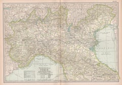
Italy, Northern Part. Century Atlas antique vintage map

Italy, Northern Part. Century Atlas antique vintage map

Located in Melbourne, Victoria

'The Century Atlas. Italy, Northern Part.' Original antique map, 1903. Central fold as issued. Map name and number printed on the reverse corners. Sheet 29.5cm by 40cm.

Category

Early 20th Century Victorian More Prints

Materials

Lithograph

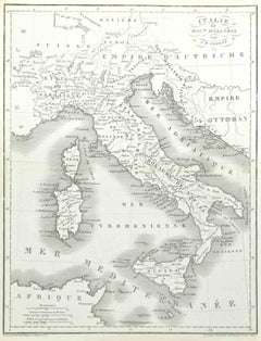
Map of Italy - Etching by Pierre François Tardieu - 1837

Map of Italy - Etching by Pierre François Tardieu - 1837

By Pierre Francois Tardieu 1

Located in Roma, IT

Map of Italy is an Etching realized in 1837. Good conditions. The artwork is realized in a well-balanced composition. the artwork and belongs to the suite suite "AtlasBatt" realize...

Category

1830s Modern Figurative Prints

Materials

Lithograph

Italy, Sicily, Sardinia, Corsica and Dalmatian Coast: A 17th Century Dutch Map

Italy, Sicily, Sardinia, Corsica and Dalmatian Coast: A 17th Century Dutch Map

By Theodorus Danckerts

Located in Alamo, CA

This hand colored 17th century Dutch map entitled "Novissima et Accuratissima totius Italiae Corsicae et Sardiniae Descriptio" by Theodore Danckerts depicts the Italian Peninsula in ...

Category

Antique Late 17th Century Dutch Maps

Materials

Paper