
Want more images or videos?
Request additional images or videos from the seller.

Dutch Conquest of Rio Grande, Brazil (1633) Under Prince Frederick Hendrick

$620.59
£468.98
€550VAT Included
CA$884.81
A$912.17
CHF 518.29
MX$11,546.45
NOK 5,935.14
SEK 6,217.79
DKK 4,193.81

About the Item

The image is an engraving titled “VEROVERINGE VAN RIO GRANDE IN BRASIL ANNO 1633.” This historical print depicts the Dutch conquest of Rio Grande in Brazil, known today as Natal, during the year 1633. The conquest took place under the command of Frederick Hendrick van Nassau, who was the Prince of Orange at that time. The scene prominently features the Portuguese fortress situated at the mouth of the Rio Grande River, surrounded by numerous ships, likely part of the Dutch fleet involved in the conquest. The engraving shows the landscape of the region, including detailed representations of the fortifications, the river, and the surrounding terrain. This particular print is the work of an anonymous engraver, and it was created after a depiction by Isaac Commelin or Commelijn. The print was later included in a book by Gregorio Leti titled "Teatro Belgico." Leti, born in Milan in 1630, was a noted historian and satirical writer who eventually moved to England before relocating to Amsterdam. His works included a history of the seven provinces of the Netherlands, which this engraving is part of. The engraving was produced using etching on hand-laid (verge) paper, and it features a watermark. The print is an attractive and historically significant representation of the Dutch colonial efforts in Brazil during the early 17th century.
  • Dimensions:
    Height: 12.01 in (30.5 cm)Width: 14.97 in (38 cm)Depth: 0 in (0.02 mm)
  • Materials and Techniques:
    Paper,Engraved
  • Period:
    1690-1699
  • Date of Manufacture:
    1690
  • Condition:
    Condition: good, given age. Folds as published. Left and right margin cut short. General age-related toning and/or occasional minor defects from handling. Study the images carefully.
  • Seller Location:
    Langweer, NL
  • Reference Number:
    Seller: BG-13745-11stDibs: LU3054341031812

More From This Seller

View All
Circa 1686 Daniel Stoopendaal Map: Biblical Sites from Paradise to Canaan

Circa 1686 Daniel Stoopendaal Map: Biblical Sites from Paradise to Canaan

Located in Langweer, NL

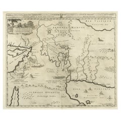
Circa 1686 Daniel Stoopendaal Map: Biblical Sites from Paradise to Canaan This circa 1686 hand-colored map by Daniel Stoopendaal, titled "De Gelegentheyt van 't Paradys en 't Landt Canaan," beautifully illustrates the Middle East, extending from the Mediterranean to the Persian Gulf. The map features numerous Biblical locations, such as the Garden of Eden, the wanderings of the Children of Israel, and the story of Jonas and the whale. It is adorned with elaborate decorations, including a banner-style title cartouche and four corner vignettes depicting scenes from Genesis: Paradise, the creation of Adam and Eve, Eve offering the apple, and their expulsion from Eden. The bottom center showcases a dramatic portrayal of Noah's Ark. Measuring 18.3 inches wide by 11.9 inches high, this first state map includes Dutch text on the reverse and is in good condition, with a crisp impression, light toning along the centerfold, and a small chip in the bottom margin. Keywords: - Daniel Stoopendaal map - Biblical map - Garden of Eden - Land of Canaan - Middle East historical map - Noah's Ark map - Adam and Eve - 17th-century Bible...

Category

Antique 1680s Maps

Materials

Paper

Small Map of Bantam with Dutch Ships and an Engraving of Portugese, 1614

Small Map of Bantam with Dutch Ships and an Engraving of Portugese, 1614

Located in Langweer, NL

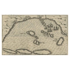
Two rare old miniature copper-engravings one one leaf. One showing the first arrival of the first Dutch in Indonesia, the so-called 'Houtman expedition' and on the reverse Portugese welcoming them with gifts. The First Dutch Expedition to Indonesia was an expedition that took place from 1595 to 1597. It was instrumental in the opening up of the Indonesian spice trade...

Category

Antique Early 17th Century Dutch Maps

Materials

Paper

Biblical Map of the Region from the Mediterranean through the Persian Gulf, 1720

Biblical Map of the Region from the Mediterranean through the Persian Gulf, 1720

Located in Langweer, NL

Antique map titled 'Carte de la Situation du Paradis Terrestre, Et des Pais Habitez par les Patriarches Dressee pour bien entendre l'Histoire Sainte, Par Messire Pierre Daniel Huet.' This interesting map covers the region from the Mediterranean through the Persian Gulf. Detail is omitted in favor of Biblical depictions including the Sermon on the Mount...

Category

Antique 1720s Maps

Materials

Paper

1638 Plancius Detailed Map of Sri Lanka or Ceylon with Decorative Cartouches

1638 Plancius Detailed Map of Sri Lanka or Ceylon with Decorative Cartouches

Located in Langweer, NL

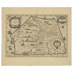
"1638 Plancius Detailed Map of Sri Lanka with Decorative Cartouches" This beautifully detailed map of Sri Lanka, titled "Ins. Ceilan," was engraved by P. Plancius from a design by C...

Category

Antique 1630s Maps

Materials

Paper

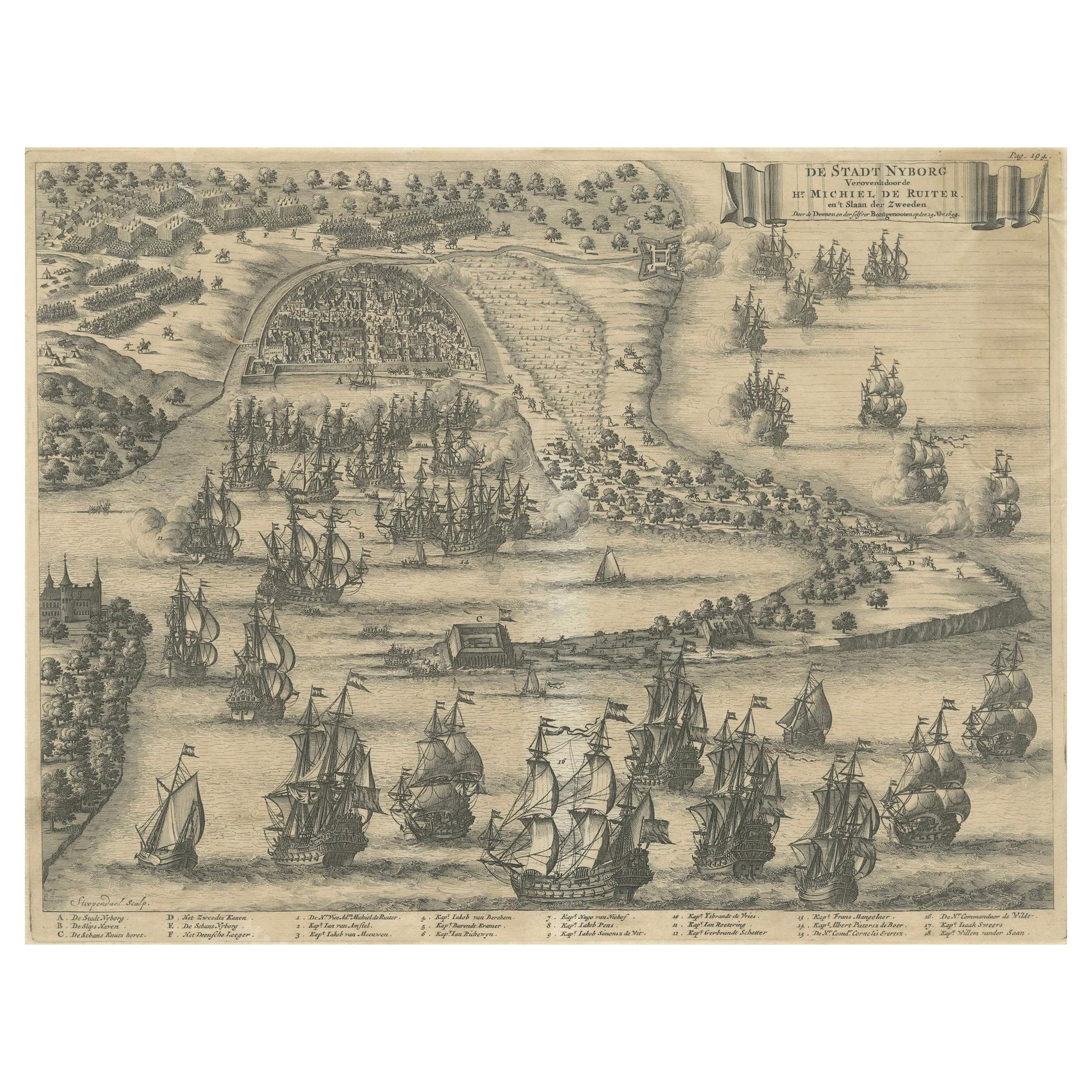
The Siege of Nyborg, 1659: A Strategic Battle of the Dano-Swedish War, 1746

The Siege of Nyborg, 1659: A Strategic Battle of the Dano-Swedish War, 1746

Located in Langweer, NL

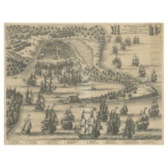
Title: "The Siege of Nyborg, 1659: A Strategic Battle of the Dano-Swedish War" Translated text (From Dutch) on copper engraving: "The city of Nyborg captured by the lord Michiel de ...

Category

Antique 1740s Prints

Materials

Paper

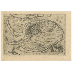
Antique Map of Brielle, Netherlands by L. Guicciardini, 1625 Edition

Antique Map of Brielle, Netherlands by L. Guicciardini, 1625 Edition

Located in Langweer, NL

Plan of Brielle, Briel, Den Briel in the Province of Zuid-Holland, The Netherlands, Holland. This map originates from the 1625 edition of 'Discrittione di tutti i Paesi Bassi', by L....

Category

Antique Early 17th Century Dutch Maps

Materials

Paper

You May Also Like

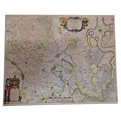
1640 Flandriae Partes Duae Quarum Altera Proprietaria, Ric0016

1640 Flandriae Partes Duae Quarum Altera Proprietaria, Ric0016

Located in Norton, MA

1640 Willem and Joan Blaeu map entitled "Flandriae Partes duae quarum altera Proprietaria, altera Imperialis vulgo dictur," Ric0016 (Mounted on Carboard) Willem Janszoon Blaeu...

Category

Antique 17th Century Dutch Maps

Materials

Paper

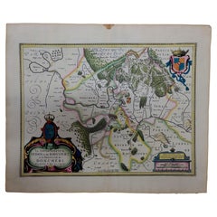
1633 Map "La Souverainete De Sedan Et De Raucourt, Et La Prevoste Ric0011

1633 Map "La Souverainete De Sedan Et De Raucourt, Et La Prevoste Ric0011

Located in Norton, MA

1653 map entitled "La Souverainete de Sedan et de Raucourt, et la Prevoste de Doncheri," Ric0011 Description: Lovely map centered on Sedan and Doncheri and the Meuze River fr...

Category

Antique 17th Century Dutch Maps

Materials

Paper

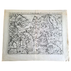
1714 Henri Chatelain "Nouvelle Carte Des Etatas Du Grand.Duc De Mos Moscovie Eur

1714 Henri Chatelain "Nouvelle Carte Des Etatas Du Grand.Duc De Mos Moscovie Eur

Located in Norton, MA

A 1714 Henri Chatelain map, entitled "Nouvelle Carte Des Etatas Du Grand Duc De Moscovie En Europe," Ricb001 Henri Abraham Chatelain (1684-1743) was a Huguenot pastor of Parisi...

Category

Antique Early 18th Century Dutch Maps

Materials

Paper

1627 Hendrik Hondius Map Entitled "Vltoniae Orientalis Pars, " Ric.a009

1627 Hendrik Hondius Map Entitled "Vltoniae Orientalis Pars, " Ric.a009

Located in Norton, MA

1627 Hendrik Hondius map entitled "Vltoniae orientalis pars," Ric.a009 Title: Vltoniae orientalis : pars Title (alt.) : Ultoniae orientalis pars Creator: Mercator, Gerh...

Category

Antique 17th Century Dutch Maps

Materials

Paper

Engraving Depicting 16th Century Map of Terra Sancta

Engraving Depicting 16th Century Map of Terra Sancta

Located in Buchanan, MI

Abraham Ortelius (Flemish, 1527-1598) Terra Sancta. Engraving depicting 16th century map of Terra Sancta. Site 15" x 19.5.

Category

Antique 18th Century and Earlier Maps

Materials

Paper