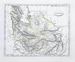
Original Antique Map of Iran By J.Dower. Unframed, Circa 1835
Located in St Annes, Lancashire
Great map of Iran Drawn and engraved by J.Dower Published by Orr & Smith. C.1835 Unframed. Free shipping
Antique 1830s English Maps
Paper
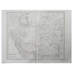
Original Antique Map of Iran By J.Dower. Unframed, Circa 1835
Located in St Annes, Lancashire
Great map of Iran Drawn and engraved by J.Dower Published by Orr & Smith. C.1835 Unframed. Free shipping
Paper
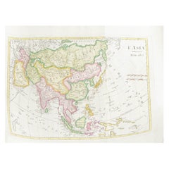
Antique 1803 Italian Map of Asia Including China Indoneseia India
Located in Amsterdam, Noord Holland
Antique 1803 Italian Map of Asia Including China Indoneseia India Very nice map of Asia. 1803. Additional information: Type: Map Country of Manufacturing: Europe Period: 19th centu...
Paper
$722Sale Price|20% Off
H 17.13 in W 24.02 in D 0.04 in
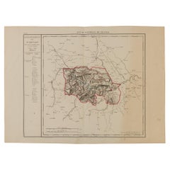
Ancient National Atlas of France Print, Engraved, Early 19th Century
Located in Alessandria, Piemonte
Ancient National Atlas of France with the department of Marengo: a rare French etching dated 1806. ST/178.
Paper
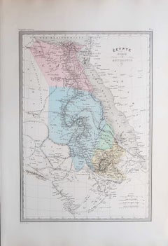
Original Antique Map of Egypt By Jean Migeon, Paris. C.1860
Located in St Annes, Lancashire
Great decorative map of Egypt Published by Jean Migeon, Paris C.1860 Original colour Unframed. Free shipping
Paper
$270
H 7.88 in W 9.65 in D 0.04 in
Map of Persia - Original Etching - Late 19th Century
Located in Roma, IT
This Map of Persia is an etching realized by an anonymous artist. The state of preservation of the artwork is good with some small diffused stains. Sheet dimension: 25.5 x 44 At t...
Etching
$775
H 27 in W 21.38 in D 0.75 in
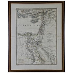
Map of the Holy Land "Carte de la Syrie et de l'Egypte" by Pierre M. Lapie
By Pierre M. Lapie
Located in Alamo, CA
An early 19th century map of ancient Syria and Egypt entitled "Carte de la Syrie et de l'Egypte anciennes/dressée par M. Lapie, Colonel d'Etat Major, et...
Paper
$1,015
H 23.63 in W 16.93 in
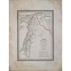
Circa 1825 original engraving of the map of Syria by Giraldon Bovinet
Located in PARIS, FR
The circa 1825 original engraving of "Syrie" by Giraldon Bovinet, based on the work of L. Vivien, is a historically significant map that reflects early 19th-century cartographic tech...
Paper, Engraving
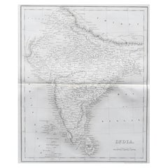
Original Antique Map of India by Dower, circa 1835
Located in St Annes, Lancashire
Nice map of India Drawn and engraved by J.Dower Published by Orr & Smith. C.1835 Unframed. Free shipping
Paper
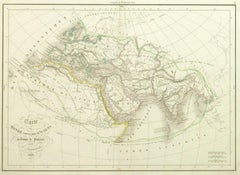
Ancient World Map
Located in Houston, TX
Over 150 year old engraved map of the world as it was known during the antiquities by cartographer Delamarche from 1838. Original hand color. Shows African, European and Asian cont...
Ink, Watercolor, Handmade Paper
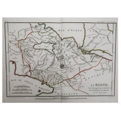
Original Antique Map of Ancient Greece- Boeotia, Thebes, 1787
Located in St Annes, Lancashire
Great map of Ancient Greece. Showing the region of Boeotia, including Thebes Drawn by J.D. Barbie Du Bocage Copper plate engraving by P.F T...
Paper

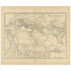
The World in the Assyrian Empire's Era: A Historical Map, Published in 1880
Located in Langweer, NL
This map from the "Spruner-Menke Atlas Antiquus" is titled "ORBIS TERRARVM regni Assyrii tempore," which translates to "The World at the Time of the Assyrian Kingdom." It depicts the...
Paper

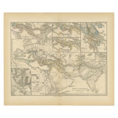
The World After the Battle of Corupedium: Hellenistic Kingdoms Map, 1880
Located in Langweer, NL
The map is titled "ORBIS TERRARUM post proelium Corupedinse," which translates to "The World after the Battle of Corupedium." This battle, which took place in 281 BC in Lydia, was th...
Paper

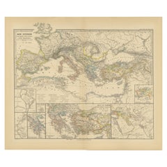
Mediterranean Encounters: From the Punic Wars to the Hannibalic War, 1880
Located in Langweer, NL
The map, with the title "MARE INTERNUM cum populis adiacentibus a bello Hannibalico usque ad Vespasiani M. princip," depicts the Mediterranean Sea and its surrounding territories, ex...
Paper

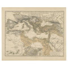
Mediterranean, Black Sea & Ottoman Empire Map 1853
Located in Langweer, NL
Mediterranean, Black Sea & Ottoman Empire Map 1853 This impressive antique print shows the Mediterranean and Black Sea regions with a focus on the Ottoman Empire, titled “Das Mittel...
Paper

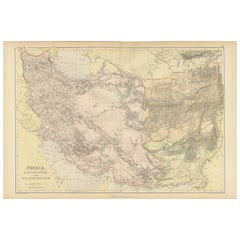
Oriental Realms: A Detailed Map of Persia, Afghanistan, and Beloochistan, 1882
Located in Langweer, NL
This historical map from the 1882 atlas published by Blackie & Son is a comprehensive depiction of Persia (modern-day Iran), Afghanistan, and Baluchistan (the region that includes pa...
Paper
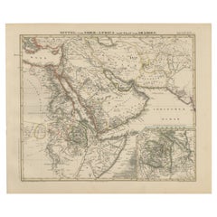
Historic 1857 Map of North-East Africa & Arabia – Fine Engraving
Located in Langweer, NL
North-East Africa and Arabia Map 1857 This detailed antique print shows “Mittel- und Nord-Afrika (östl. Theil) und Arabien” meaning “Central and North Africa (eastern part) and Arab...
Paper