
Want more images or videos?
Request additional images or videos from the seller.

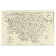
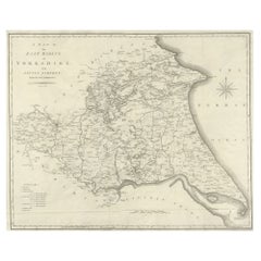
Large Antique County Map of the West Riding of Yorkshire 'North Part', England

$315.94
£238.75
€280VAT Included
CA$450.45
A$464.38
CHF 263.86
MX$5,878.19
NOK 3,021.52
SEK 3,165.42
DKK 2,135.03

About the Item

Antique map titled 'A Map of the North Part of the West Riding of Yorkshire from the best Authorities'. Original old county map of the north part of the West Riding of Yorkshire, England. Engraved by John Cary. Originates from 'New British Atlas' by John Stockdale, published 1805. John Cary (1755-1835) was a British cartographer and publisher best known for his clean engraving and distinct style which influenced the entire map industry.
  • Dimensions:
    Height: 16.54 in (42 cm)Width: 21.38 in (54.3 cm)Depth: 0.02 in (0.5 mm)
  • Materials and Techniques:
  • Period:
  • Date of Manufacture:
    1805
  • Condition:
    General age-related toning. Original folding lines. Minor wear and soiling, narrow margins. Please study image carefully.
  • Seller Location:
    Langweer, NL
  • Reference Number:
    Seller: BG-13394-261stDibs: LU3054334131942

More From This Seller

View All
Large Antique County Map of the West Riding of Yorkshire 'South Part', England

Large Antique County Map of the West Riding of Yorkshire 'South Part', England

Located in Langweer, NL

Antique map titled 'A Map of the South Part of the West Riding of Yorkshire from the best Authorities'. Original old county map of the south part of the West Riding of Yorkshire, Eng...

Category

Antique Early 19th Century Maps

Materials

Paper
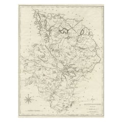
Large Antique County Map of Huntingdonshire, England

Large Antique County Map of Huntingdonshire, England

Located in Langweer, NL

Antique map titled 'A Map of Huntingdonshire from the best Authorities'. Original old county map of Huntingdonshire, England. Engraved by John Cary. Originates from 'New British Atla...

Category

Antique Early 19th Century Maps

Materials

Paper
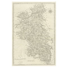
Large Antique County Map of Buckinghamshire, England

Large Antique County Map of Buckinghamshire, England

Located in Langweer, NL

Antique map titled 'A Map of Buckinghamshire from the best Authorities'. Original old county map of Buckinghamshire, England. Engraved by John Cary. Originates from 'New British Atla...

Category

Antique Early 19th Century Maps

Materials

Paper
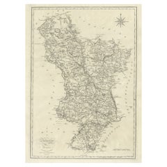
Large Antique County Map of Derbyshire, England, 1805

Large Antique County Map of Derbyshire, England, 1805

Located in Langweer, NL

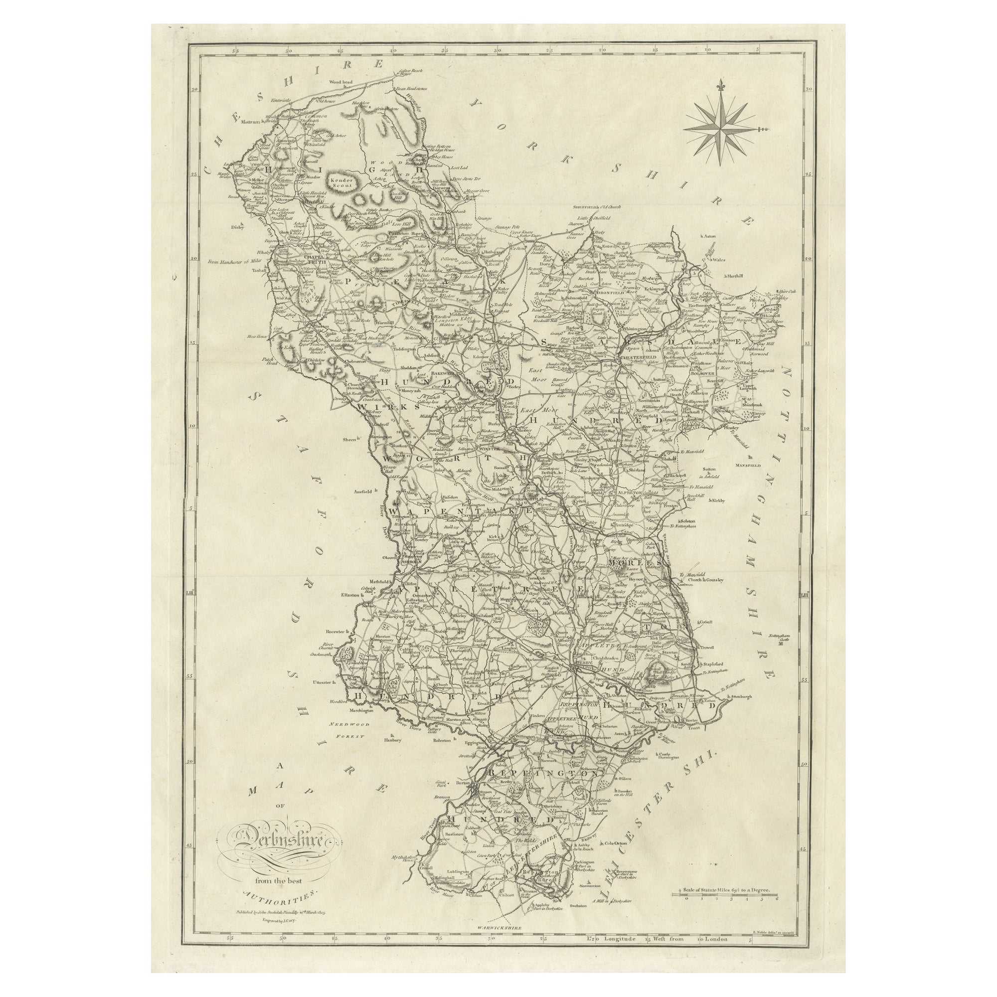
Antique map titled 'A Map of Derbyshire from the best Authorities'. Original old county map of Derbyshire, England. Engraved by John Cary. Originates from 'New British Atlas' by John...

Category

Antique Early 19th Century British Maps

Materials

Paper

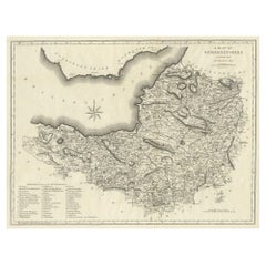
Large Antique County Map of Somersetshire, England

Large Antique County Map of Somersetshire, England

Located in Langweer, NL

Antique map titled 'A Map of Somersetshire from the best Authorities'. Original old county map of Somersetshire, England. Engraved by John Cary. Originates from 'New British Atlas' b...

Category

Antique Early 19th Century Maps

Materials

Paper
Large Antique County Map of the East Riding of Yorkshire, England

Large Antique County Map of the East Riding of Yorkshire, England

Located in Langweer, NL

Antique map titled 'A Map of the East Riding of Yorkshire from the best Authorities'. Original old county map of the East Riding of Yorkshire, England. Engraved by John Cary. Origina...

Category

Antique Early 19th Century Maps

Materials

Paper
You May Also Like

Vintage County Map of Cheshire, English, After John Cary, Cartography Interest

Vintage County Map of Cheshire, English, After John Cary, Cartography Interest

Located in Hele, Devon, GB

This is a vintage Cheshire map, a fine reproduction of John Cary’s late 18th century cartography, and presented within a smart glazed frame. Superb county map of Cheshire, offering ...

Category

Vintage 1980s British Georgian Maps

Materials

Glass, Paper

Original Antique English County Map, Derbyshire, J & C Walker, 1851

Original Antique English County Map, Derbyshire, J & C Walker, 1851

Located in St Annes, Lancashire

Great map of Derbyshire Original colour By J & C Walker Published by Longman, Rees, Orme, Brown & Co. 1851 Unframed.

Category

Antique 1850s English Other Maps

Materials

Paper

Antique East Yorkshire Map, English, Framed Lithograph, Cartography, Victorian

Antique East Yorkshire Map, English, Framed Lithograph, Cartography, Victorian

Located in Hele, Devon, GB

This is an antique lithography map of East Yorkshire. An English, framed atlas engraving of cartographic interest, dating to the mid 19th century and later. Superb lithography of t...

Category

Antique Mid-19th Century British Victorian Maps

Materials

Paper

Original Antique English County Map, Leicestershire, J & C Walker, 1851

Original Antique English County Map, Leicestershire, J & C Walker, 1851

Located in St Annes, Lancashire

Great map of Leicestershire Original colour By J & C Walker Published by Longman, Rees, Orme, Brown & Co. 1851 Unframed.

Category

Antique 1850s English Other Maps

Materials

Paper

Original Antique English County Map, Warwickshire, J & C Walker, 1851

Original Antique English County Map, Warwickshire, J & C Walker, 1851

Located in St Annes, Lancashire

Great map of Warwickshire Original colour By J & C Walker Published by Longman, Rees, Orme, Brown & Co. 1851 Unframed.

Category

Antique 1850s English Other Maps

Materials

Paper

Antique Lincolnshire Map, English, County Cartography, Robert Morden, Victorian

Antique Lincolnshire Map, English, County Cartography, Robert Morden, Victorian

Located in Hele, Devon, GB

This is a fine antique county map of Lincolnshire. An English, framed reproduction engraving, dating to the Victorian period and later, circa 1900. A superb cartographic reproducti...

Category

Early 20th Century British Queen Anne Maps

Materials

Glass, Paper