Want more images or videos?
Request additional images or videos from the seller.

Vintage Isle of Man Map, English, After Thomas Moule, Manx Cartography, Framed

$844.94
£626
€763.80
CA$1,204.67
A$1,241.93
CHF 705.65
MX$15,720.52
NOK 8,080.71
SEK 8,465.54
DKK 5,709.89

About the Item

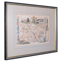
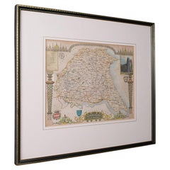
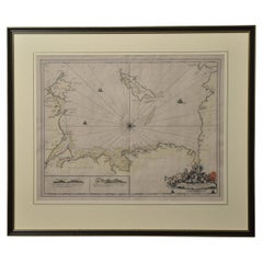
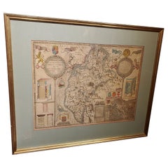
This is a vintage Isle of Man map. An English, fine reproduction of the Thomas Moule original atlas engraving, dating to the late 20th century, circa 1970. Beautifully reproduced print of the island from a renowned 19th century cartographer Displays a desirable aged patina and in good order Presented behind clear, bright glass with a brown card border Later frame in gilt and ebonised towns, with hanging wire to the reverse Superb cartography by Thomas Moule (1784 - 1851) writer, antiquarian and map maker Gives excellent detail to the Isle of Man, in the Irish Sea between Ireland and Britain Accentuated with the Manx Triskelion emblem - the three legged symbol and a heraldic coat of arms Published in an unusual orientation by Moule, with West raised at the top and East lowered The map itself is presented inside an elaborate Gothic architectural border Further flanked by two standing knights in armour at the sides Scale is given in English Miles with increments from 1-8 miles George Virtue included these Moule maps in James Barclay's Complete & Universal English Dictionary This edition was an updated example originally released in June 1843 This is a fascinating vintage Isle of Man map, with a detailed and quality reconstruction of the Thomas Moule original. A treat for Manx residents, descendants or collectors. Delivered ready to display. Dimensions: Max Width: 40.5cm (16'') Max Depth: 1.5cm (.5'') Max Height: 36.5cm (14.25'') Map Width: 27cm (10.75'') Map Height: 20cm (7.75'')
  • Dimensions:
    Height: 14.38 in (36.5 cm)Width: 15.95 in (40.5 cm)Depth: 0.6 in (1.5 cm)
  • Style:
    Early Victorian (In the Style Of)
  • Materials and Techniques:
  • Place of Origin:
  • Period:
  • Date of Manufacture:
    Circa 1970
  • Condition:
    Wear consistent with age and use. Presented in good vintage condition.
  • Seller Location:
    Hele, Devon, GB
  • Reference Number:
    Seller: 262901stDibs: LU2645351903272

More From This Seller

View All
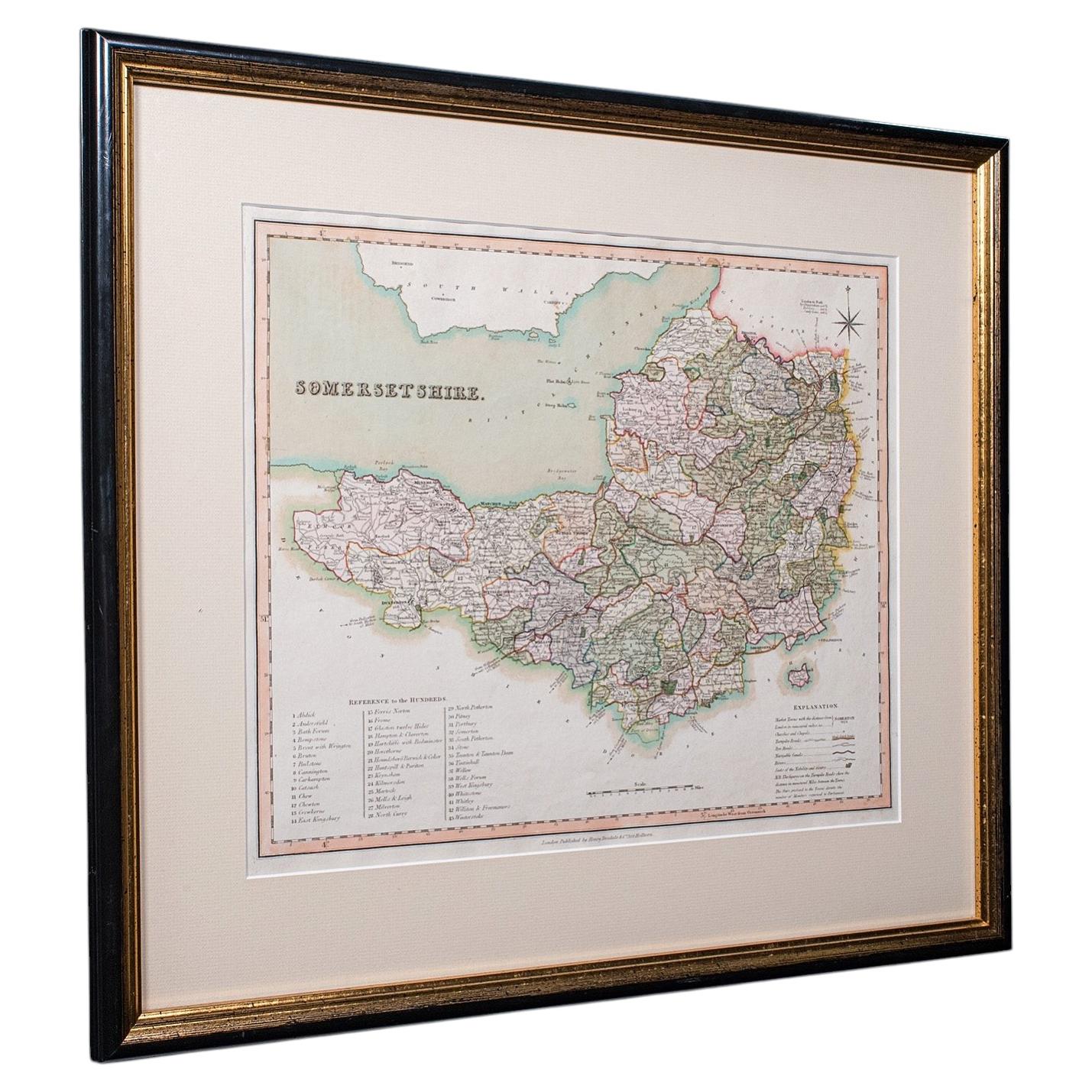
Vintage Somerset County Map, English, Framed Cartography, After Thomas Moule

Vintage Somerset County Map, English, Framed Cartography, After Thomas Moule

Located in Hele, Devon, GB

This is a vintage county map of Somerset. An English, atlas reproduction of the Thomas Moule original, dating to the late 20th century, circa 1980. Endearing mid-19th century cartog...

Category

Vintage 1980s British Early Victorian Maps

Materials

Glass, Paper
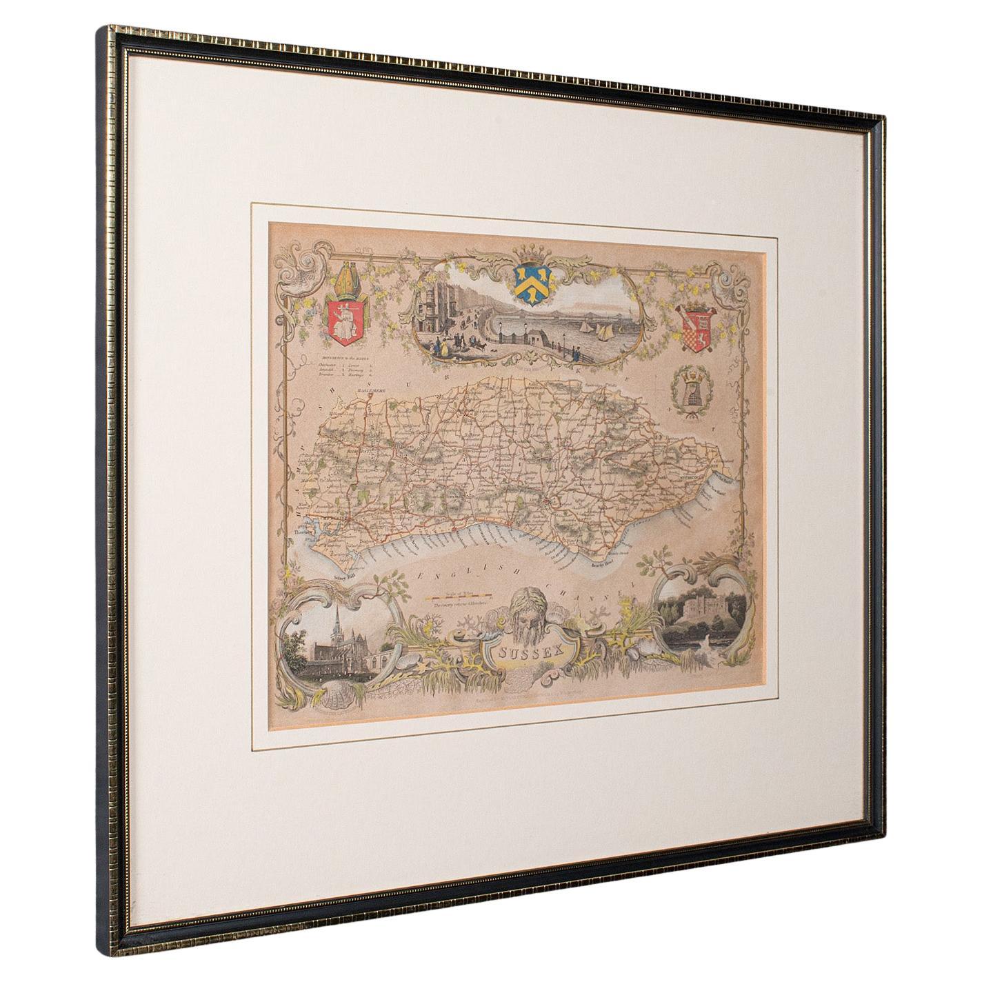
Antique County Map, Sussex, English, Framed Lithography, Cartography, Victorian

Antique County Map, Sussex, English, Framed Lithography, Cartography, Victorian

Located in Hele, Devon, GB

This is an antique lithography map of Sussex. An English, framed atlas engraving of cartographic interest, dating to the mid 19th century and later. Superb lithography of Sussex an...

Category

Antique Mid-19th Century British Victorian Maps

Materials

Paper

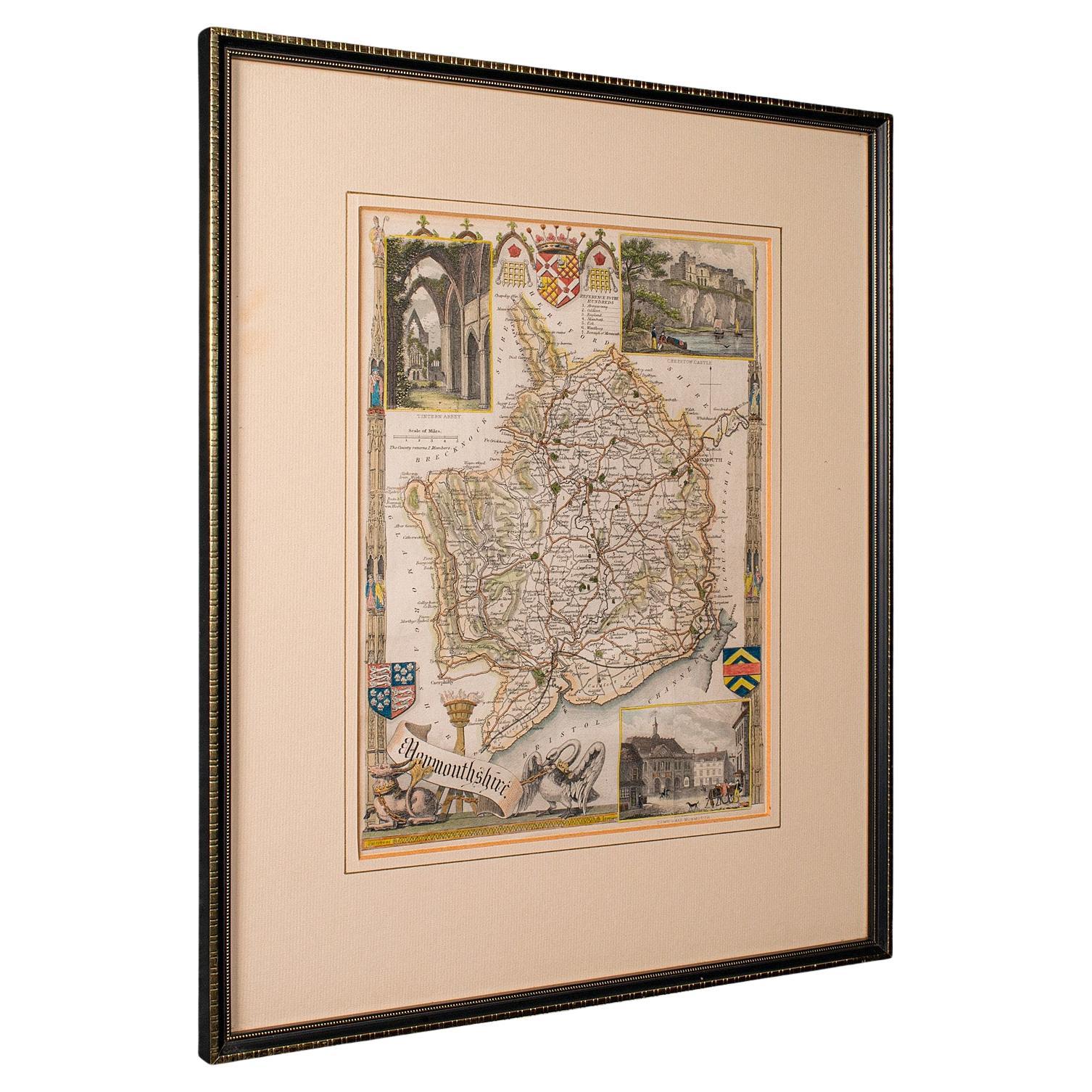
Antique Lithography Map, Monmouthshire, Framed, Welsh Cartography, Victorian

Antique Lithography Map, Monmouthshire, Framed, Welsh Cartography, Victorian

Located in Hele, Devon, GB

This is an antique lithography map of Monmouthshire. An English, framed atlas engraving of cartographic interest, dating to the mid 19th century and later. Superb lithography of Mo...

Category

Antique Mid-19th Century British Victorian Maps

Materials

Glass, Wood, Paper

Antique Map of County Durham, English, Framed, After Moule, Victorian, C.1900

Antique Map of County Durham, English, Framed, After Moule, Victorian, C.1900

Located in Hele, Devon, GB

This is an antique map of County Durham. An English, atlas reproduction of the Thomas Moule original, dating to the late Victorian period, circa 1900. Excellent reproduction cartogr...

Category

Antique Early 1900s British Late Victorian Maps

Materials

Glass, Paper
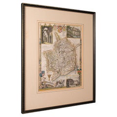
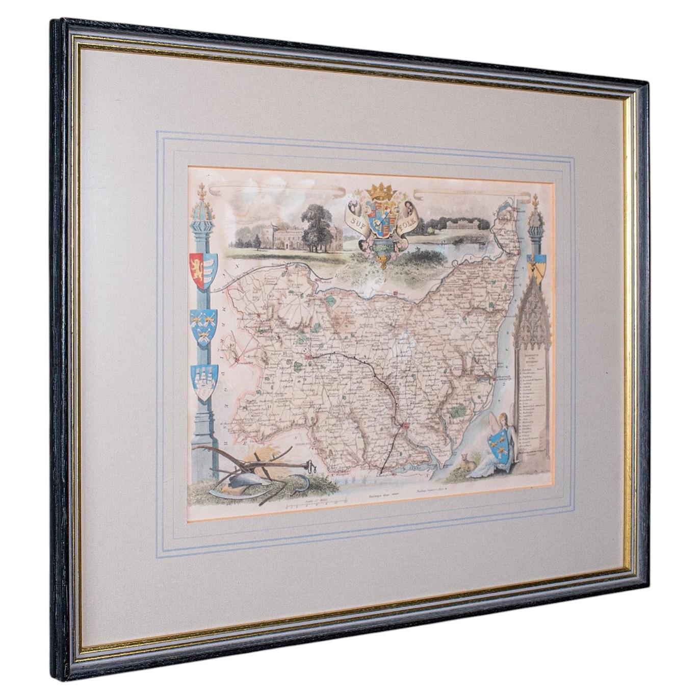
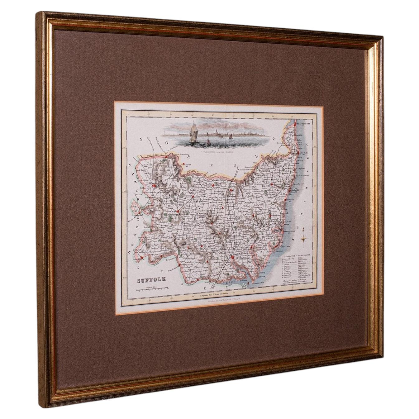
Vintage County Map, Suffolk, English, Framed, Cartography, After Thomas Moule

Vintage County Map, Suffolk, English, Framed, Cartography, After Thomas Moule

Located in Hele, Devon, GB

This is a vintage county map of Suffolk. An English, atlas reproduction of the Thomas Moule original, dating to the late 20th century, circa 1980. Eye-catching Thomas Moule cartogra...

Category

Vintage 1980s British Early Victorian Maps

Materials

Glass, Paper
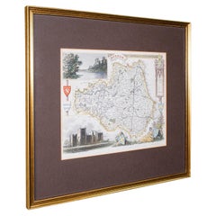
Antique East Yorkshire Map, English, Framed Lithograph, Cartography, Victorian

Antique East Yorkshire Map, English, Framed Lithograph, Cartography, Victorian

Located in Hele, Devon, GB

This is an antique lithography map of East Yorkshire. An English, framed atlas engraving of cartographic interest, dating to the mid 19th century and later. Superb lithography of t...

Category

Antique Mid-19th Century British Victorian Maps

Materials

Paper

You May Also Like

Northwest Coast and Isle of Man Map

Northwest Coast and Isle of Man Map

Located in Cheshire, GB

Greenville Collins Northwest Coast and Isle of Man. hand coloured chart, encased in an ebonised frame. Dimensions Height 26.5 Inches Width 30 Inches Depth 1 Inches

Category

Early 20th Century British Maps

Materials

Paper

Framed 17th Century Map of Cumberland, England by John Speed, 1610

Framed 17th Century Map of Cumberland, England by John Speed, 1610

By John Speed

Located in Middleburg, VA

A fascinating and richly detailed antique map of Cumberland County in northwest England, drawn and published by the celebrated English cartographer John Spe...

Category

Antique Early 17th Century English British Colonial Maps

Materials

Copper, Gold Leaf

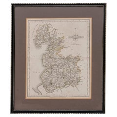
Map Lancashire 1793 John Cary engraver 37cm 14 1/2" high

Map Lancashire 1793 John Cary engraver 37cm 14 1/2" high

Located in BUNGAY, SUFFOLK

Map of Lancashire by John Cary engraver published 1st Jan 1793 by J Cary Engraver & Mapseller Strand in original black and gold classic map frame

Category

Antique 18th Century English Georgian Maps

Materials

Paper

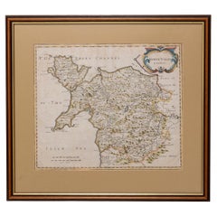
Map North Wales Robert Marsden Anglesey

Map North Wales Robert Marsden Anglesey

Located in BUNGAY, SUFFOLK

Map of North Wales by Robert Marsden Including Anglesey Charming topography and detail and colouring just purchased more information to follow.

Category

Antique 18th Century English Georgian Maps

Materials

Paper

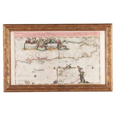
Important Late 17th Century Map of South-East England by Romeyn de Hooghe & Pier

Important Late 17th Century Map of South-East England by Romeyn de Hooghe & Pier

Located in Gloucestershire, GB

Rare and important late 17th Century Map of South-East England by Romeyn de Hooghe & Pierre Mortier, Amsterdam, 1693.  An exceptionally fine and rare late 17th Century engraved sea ...

Category

Antique 17th Century Dutch Prints

Materials

Paper

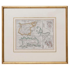
Map Jersey Guernsey Scilly Islands Alderney

Map Jersey Guernsey Scilly Islands Alderney

Located in BUNGAY, SUFFOLK

Rare map of The Islands of Guernsey and Jersey, including Alderney & the Scilly Islands just purchased more information to follow In the original cream mount and gilded frame.

Category

Antique 18th Century English Georgian Maps

Materials

Paper