
Want more images or videos?
Request additional images or videos from the seller.

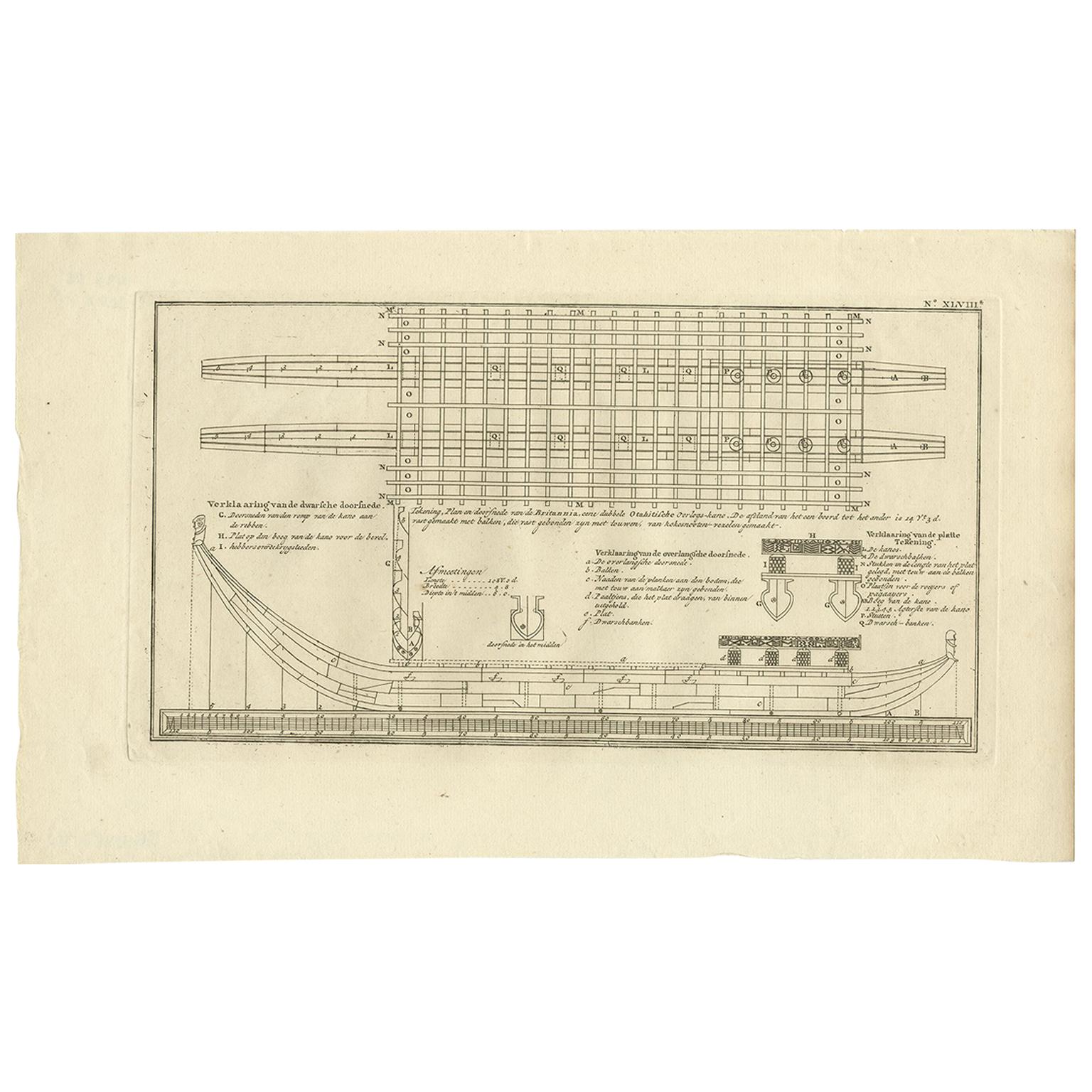
Old Drawing or Plan of a Proa of Amsterdam Island, Now Tongatapu, Tonga, 1803

$500.79
£374.34
€440VAT Included
CA$706.34
A$726.43
CHF 410.93
MX$9,302.53
NOK 4,729.20
SEK 4,944.75
DKK 3,354.92

About the Item

Antique print titled 'Tekening, Plan en Doorsnede van eene dubbele Praauw (..)'. Antique print depicting a drawing, plan and cross-section of a proa of Amsterdam Island. Amsterdam Island was discovered by Abel Tasman in 1643 and named as such because of it's abundance of supplies. It is now named Tongatapu, the main island of the Kingdom of Tonga. Originates from 'Reizen Rondom de Waereld door James Cook (..)'. Artists and engravers: Translated by J.D. Pasteur. Published by Honkoop, Allart en Van Cleef.
  • Dimensions:
    Height: 10.24 in (26 cm)Width: 16.54 in (42 cm)Depth: 0 in (0.02 mm)
  • Materials and Techniques:
  • Period:
  • Date of Manufacture:
    1803
  • Condition:
    Condition: Very good, general age-related toning. Please study image carefully.
  • Seller Location:
    Langweer, NL
  • Reference Number:
    Seller: BG-11487-114 1stDibs: LU3054326929982

More From This Seller

View All
Antique Plan of Britannia 'Cross Section' by Cook, 1803

Antique Plan of Britannia 'Cross Section' by Cook, 1803

Located in Langweer, NL

Antique print titled 'Tekening, Plan en Doorsnede van de Britannia (..)'. This print depicts the the Tahiti war Canoe, double connected with beams and bonded with coconut ropes. Orig...

Category

Antique Early 19th Century Dutch Prints

Materials

Paper
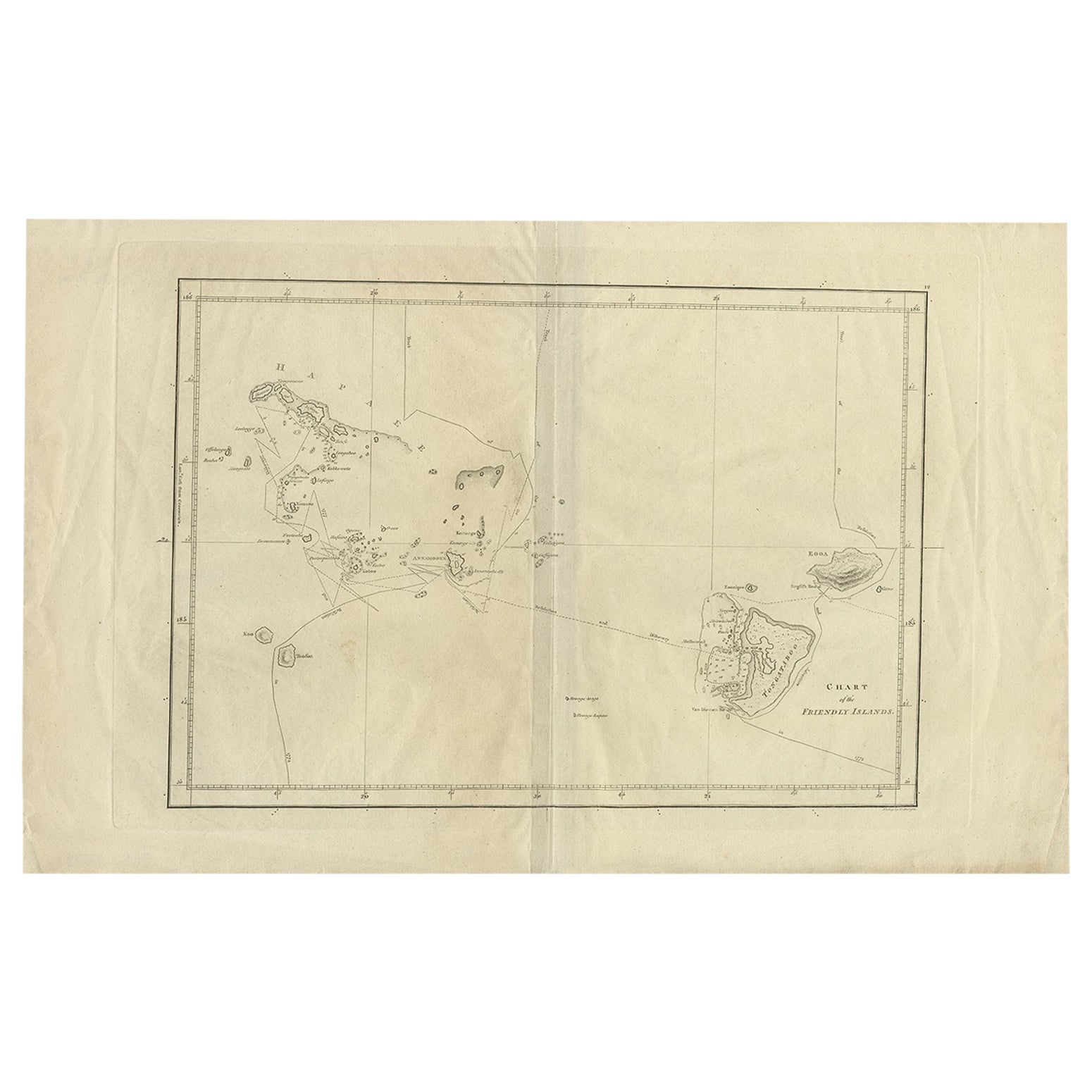
Antique Chart of the Friendly Islands or Tonga in the Pacific Ocean, 1785

Antique Chart of the Friendly Islands or Tonga in the Pacific Ocean, 1785

By James Cook

Located in Langweer, NL

Antique print titled 'Chart of the Friendly Islands'. Antique map of the Friendly Islands depicting Rotterdam or Anamocka, Middelburg or Eaoowe and Amsterdam or Tongatabu. Originates...

Category

Antique 18th Century Prints

Materials

Paper

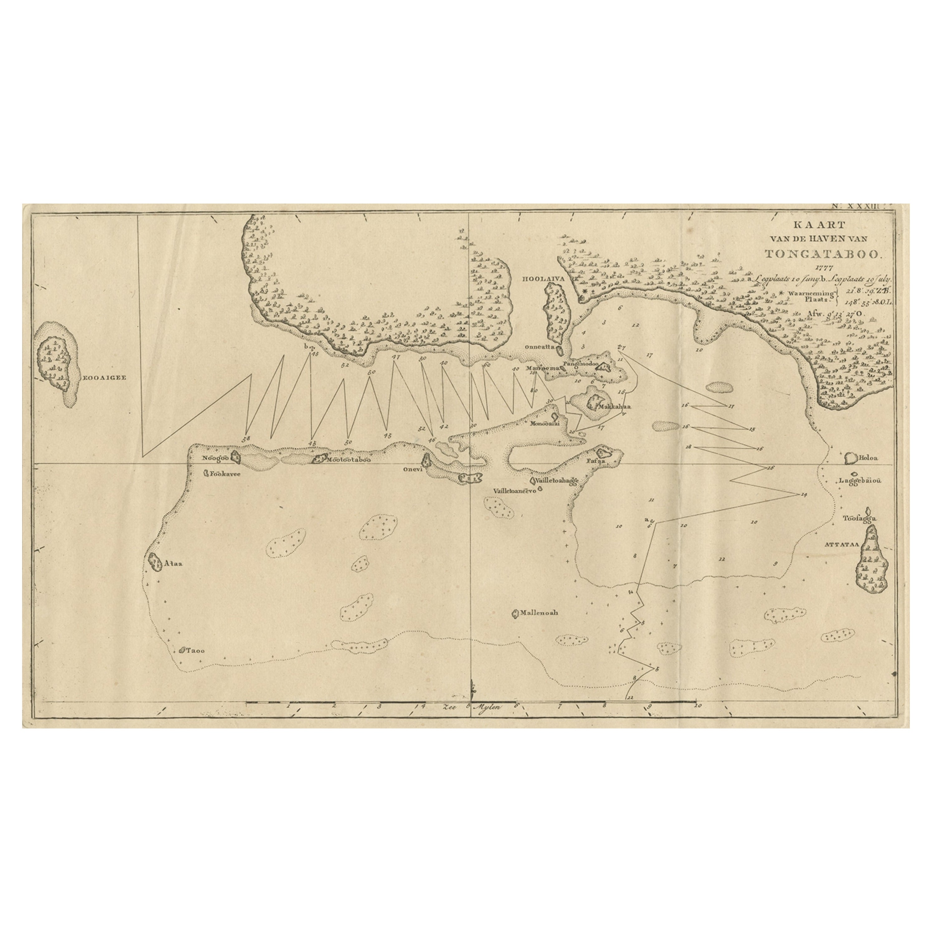
Antique Map of the Harbour of Tongatabu, One of the Tonga Islands, 1803

Antique Map of the Harbour of Tongatabu, One of the Tonga Islands, 1803

Located in Langweer, NL

Antique map Tonga titled 'Kaart van de Haven van Tongataboo'. Antique map of the harbour of Tongatabu, one of the Tonga Islands. Originates from 'Reizen Rondom de Waereld door Ja...

Category

Antique Early 1800s Maps

Materials

Paper

Antique Chart of the Friendly Islands or Nowadays Tonga, by Cook, 1784

Antique Chart of the Friendly Islands or Nowadays Tonga, by Cook, 1784

By James Cook

Located in Langweer, NL

Antique print titled 'Chart of the Friendly Islands'. Antique map of the Friendly Islands depicting Rotterdam or Anamocka, Middelburg or Eaoowe and Amsterdam or Tongatabu. Originates...

Category

Antique 18th Century Prints

Materials

Paper

Antique Engraved Map of the Friendly Islands or Tonga, ca.1785

Antique Engraved Map of the Friendly Islands or Tonga, ca.1785

Located in Langweer, NL

Antique map titled 'Carte des Isles des Amis'. Map of the Friendly Islands / Tonga. The Tongan people first encountered Europeans in 1616 when the Dutch vessel Eendracht, captain...

Category

Antique 1780s Maps

Materials

Paper

Antique Map of the Harbour of Tongatabu by Cook, C.1783

Antique Map of the Harbour of Tongatabu by Cook, C.1783

Located in Langweer, NL

Antique map titled 'Sketch of Tongataboo Harbour (..)'. Antique map of the harbour of Tongatabu, one of the Tonga Islands. Originates from an edition of Cook's Voyages. Artists an...

Category

Antique 18th Century Maps

Materials

Paper

You May Also Like

Old Nautical Print by Engraving on Copper Plate from the Panckoucke Encyclopédie

Old Nautical Print by Engraving on Copper Plate from the Panckoucke Encyclopédie

Located in Milan, IT

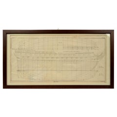
Print by engraving on copper plate from the Panckoucke Encyclopédie méthodique, end of the 18th century, volume Marine Planches (more than 1,500 figures dealing with all subjects on the marina: planes, construction, carpentry, tree trunks, armaments of maneuvers, ropes, sails, artillery, ship maneuvers and combat tactics). This is the plate n. 149, page. 166 fig. 1209-1212; with frame cm 57.8 x 31.8. The prospect of the side of a ship is depicted. The Print has the "Benard direxit...

Category

Antique 1790s French Prints

Materials

Paper

Thomas Milton Engraving (1743-1827) A Geometrical Plan and North Elevation

Thomas Milton Engraving (1743-1827) A Geometrical Plan and North Elevation

By Thomas Milton

Located in Lymington, Hampshire

A Geometrical Plan and North Elevation of his Majesty’s Dock Yard, at Woolwich, with Part of the Town, & c., published 1753 Thomas Milton (1743-1827) Fine engraved plan and view, wit...

Category

Antique Mid-18th Century English Nautical Objects

Materials

Paper

Original Drawing of a Forty-Eight Foot Yacht by George Lawley

Original Drawing of a Forty-Eight Foot Yacht by George Lawley

Located in Norwell, MA

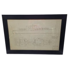
Excellent drawing of a proposed 48-foot express cruiser from George Lawley and Son Corporation, Yacht Builders, Neponset, Mass. Scale 1/2" equals one foot. Dated December 7, 1926. Tr...

Category

Vintage 1920s North American Nautical Objects

Materials

Paper

Original 1925 Yacht Blueprint from George Lawley of a 100-Foot Yacht

Original 1925 Yacht Blueprint from George Lawley of a 100-Foot Yacht

Located in Norwell, MA

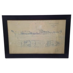
1925 yacht blueprint of a one-hundred-foot private motor yacht. The plan is titled "Proposed Sketch for Motor Yacht" by George Lawley and Son Corporation, Neponset, Mass. Dated Septe...

Category

Vintage 1920s Nautical Objects

Materials

Paper

1914 Blueprint Plan of a 175-Foot Motor Yacht by Gielow and Orr

1914 Blueprint Plan of a 175-Foot Motor Yacht by Gielow and Orr

Located in Norwell, MA

Early twentieth-century project No. 488, plan of a motor yacht. Length: 175 feet, beam: 24 feet, draft: 7 feet. Dated October 28, 1914, from Gielow and Orr, Naval Architects and Engi...

Category

Vintage 1910s North American Nautical Objects

Materials

Paper

Early 20th Century Blueprint by John Alden

Early 20th Century Blueprint by John Alden

By John G. Alden

Located in Norwell, MA

Early 20th century blueprint by John Alden of a General Seafoods Corp. trawler dated 2/24/37. Hull Lines are shown from bow, profile and bottom views. Nicely framed. Scale: 1/4 inch ...

Category

Early 20th Century Drawings