Persian Maps

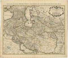
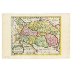
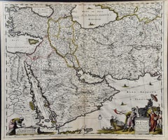
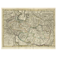
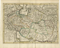
Map of the Persian Empire circa 1750 by Tirion – Hand-Colored Dutch Map

Map of the Persian Empire circa 1750 by Tirion – Hand-Colored Dutch Map

Located in Langweer, NL

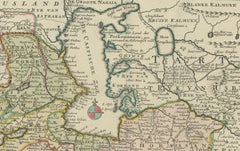
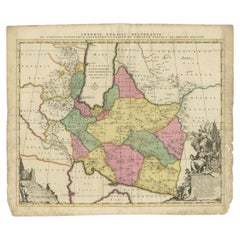
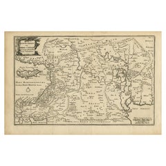
Map of the Persian Empire circa 1750 by Tirion – Hand-Colored Dutch Map This finely detailed antique map titled "Nieuwe Kaart van 't Ryk van Persie" (New Map of the Empire of Persia...

Category

Antique 1750s Dutch Maps

Materials

Paper

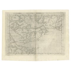
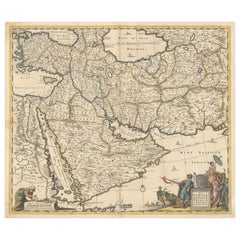
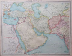
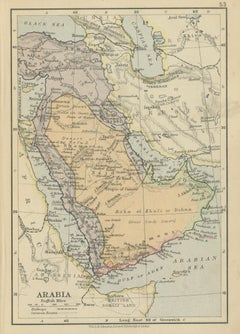
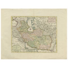
Original 1882 Map of Arabia, Red Sea & Persian Gulf

Original 1882 Map of Arabia, Red Sea & Persian Gulf

Located in Langweer, NL

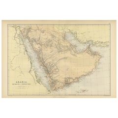
This print is a historically significant map titled "Arabia, the Red Sea, and the Persian Gulf," originally published in 1882 as part of the 'Comprehensive Atlas and Geography of the...

Category

Antique 1880s Maps

Materials

Paper

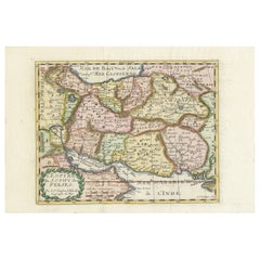
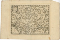
Rare Small Antique Map of the Persian Empire, 1692

Rare Small Antique Map of the Persian Empire, 1692

Located in Langweer, NL

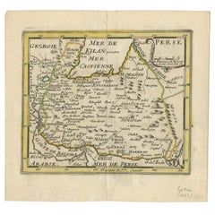
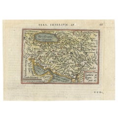
Antique map titled 'Perse'. Small engraved map of the Persian Empire, decorated with a simple cartouche and armorial shield.

Category

Antique 17th Century Maps

Materials

Paper

Ancient Persian Empire Map of Persia, Babylon & Arabia, Published 1831

Ancient Persian Empire Map of Persia, Babylon & Arabia, Published 1831

Located in Langweer, NL

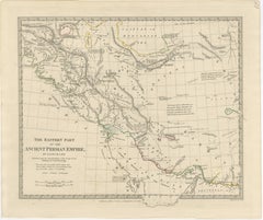
Ancient Persian Empire Map of Persia, Babylon & Arabia, Published 1831 A finely engraved and historically important map titled “The Eastern Part of the Ancient Persian Empire,” publ...

Category

Antique Early 19th Century British Maps

Materials

Paper

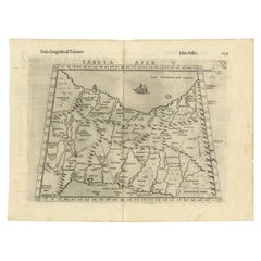
Very Old Antique Map of the Persian Empire by Magini, c.1597

Very Old Antique Map of the Persian Empire by Magini, c.1597

Located in Langweer, NL

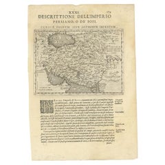
Old map of the Persian Empire. This map originates from 'Geografia cioe Descrittione Universale della Terra' by G.A.

Category

Antique 16th Century Maps

Materials

Paper

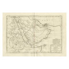
Antique Map of Arabia, Red Sea & Persian Gulf by Rigobert Bonne, 1780

Antique Map of Arabia, Red Sea & Persian Gulf by Rigobert Bonne, 1780

Located in Langweer, NL

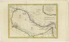
Arabia, Red Sea & Persian Gulf – Antique Map, Bonne c1780 Description: This striking map covers the Arabian Peninsula, the Red Sea, Persian Gulf, Egypt, and parts of East Africa.

Category

Antique Late 18th Century French Maps

Materials

Paper

Map of the Persian Empire by Nicolas Sanson, Hand-colored, circa 1683

Map of the Persian Empire by Nicolas Sanson, Hand-colored, circa 1683

Located in Langweer, NL

Map of the Persian Empire by Nicolas Sanson, hand-colored, circa 1683 This finely detailed and delicately hand-colored map titled *L'Empire du Sophy des Perses* presents a late 17th...

Category

Antique 1680s Maps

Materials

Paper

1742 Antique Map of the Persian Empire with Detailed Borders and Cartouche

1742 Antique Map of the Persian Empire with Detailed Borders and Cartouche

Located in Langweer, NL

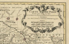
Title: 1742 Covens & Mortier Map of the Persian Empire by Guillaume De L'Isle This remarkable 1742 map, "Carte de Perse," was originally designed by Guillaume De L'Isle, a preemin...

Category

Antique 1740s Dutch Maps

Materials

Paper

Antique Italian Map of Persia with Khorasan and the Persian Gulf, circa 1820

Antique Italian Map of Persia with Khorasan and the Persian Gulf, circa 1820

Located in Langweer, NL

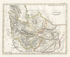
The principal frontiers are outlined by hand in yellow, green and red, and the wide margins give the sheet an elegant presence. It is a pleasing map of Iran for a collector of Persi...

Category

Antique Early 19th Century Italian Maps

Materials

Paper

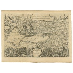
Antique Map of the Mediterranean and the Persian Gulf by Danckerts, c.1718

Antique Map of the Mediterranean and the Persian Gulf by Danckerts, c.1718

Located in Langweer, NL

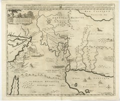
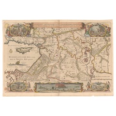
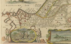
Dutch Bible map covering the region between the Mediterranean and the Persian Gulf, featuring the Garden of Eden, which is located near "Babel".

Category

Antique 18th Century Maps

Materials

Paper

Old Ptolemaic Map of the Region Between the Persian Gulf and Caspian Sea, 1598

Old Ptolemaic Map of the Region Between the Persian Gulf and Caspian Sea, 1598

Located in Langweer, NL

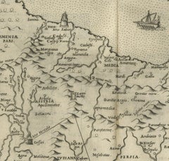
Ptolemy's Geographia continued to be revised and published by some of the most important cartographers including Martin Waldseemuller, Sebastian Munster, Giacomo Gastaldi, Jodocus Ho...

Category

Antique 16th Century Maps

Materials

Paper

Antique Map of the Persian Gulf and Caspian Sea Region by R. Bonne, 1780

Antique Map of the Persian Gulf and Caspian Sea Region by R. Bonne, 1780

Located in Langweer, NL

Antique print titled 'Carte de la Perse, de la Georgie, et de la Tartarie Independante'. Shows the region from the Persian Gulf and Caspian Sea in the west to the edges of China/Tibe...

Category

Antique Late 18th Century French Maps

Materials

Paper

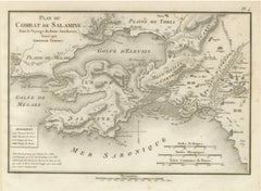
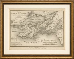
Original Antique Battle Map of Salamis - Ambroise Tardieu, 1821

Original Antique Battle Map of Salamis - Ambroise Tardieu, 1821

Located in Langweer, NL

This finely engraved map illustrates the famous naval Battle of Salamis, fought in 480 BC, one of the decisive engagements of the Greco-Persian Wars.

Category

Antique 1820s French Maps

Materials

Paper

Parthian Empire Map, Arsacid Persia & Bactria, Wilkinson London 1817

Parthian Empire Map, Arsacid Persia & Bactria, Wilkinson London 1817

Located in Langweer, NL

A compelling piece for collectors of ancient history, Persian and Central Asian cartography, or decorative antique maps, this map offers a fascinating window into the geopolitical la...

Category

Antique Early 19th Century British Maps

Materials

Paper

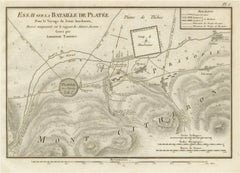
Battle of Plataea Ancient Greece Military Map by Ambroise Tardieu, 1825

Battle of Plataea Ancient Greece Military Map by Ambroise Tardieu, 1825

Located in Langweer, NL

Keywords: Ancient Greece, Battle of Plataea, Plataea Map, Greek Persian Wars, Greco-Persian Wars, Persian Wars, Mardonius, Boeotia, Thebes, Mount Cithaeron, Asopus River, Military Ma...

Category

Antique 1820s French Maps

Materials

Paper

Circa 1686 Daniel Stoopendaal Map: Biblical Sites from Paradise to Canaan

Circa 1686 Daniel Stoopendaal Map: Biblical Sites from Paradise to Canaan

Located in Langweer, NL

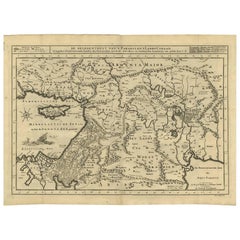
Circa 1686 Daniel Stoopendaal Map: Biblical Sites from Paradise to Canaan This circa 1686 hand-colored map by Daniel Stoopendaal, titled "De Gelegentheyt van 't Paradys en 't Landt ...

Category

Antique 1680s Maps

Materials

Paper

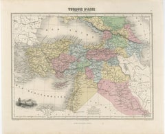
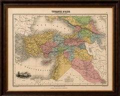
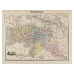
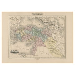
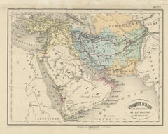
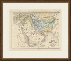
Turquie d’Asie et les Provinces du Caucase Map, Ottoman Empire 1873

Turquie d’Asie et les Provinces du Caucase Map, Ottoman Empire 1873

Located in Langweer, NL

The Mediterranean, Black Sea, and Persian frontier frame the map beautifully and reinforce its broad geographic scope connecting Europe, the Levant, Arabia, and Central Asia.

Category

Antique Mid-19th Century French Maps

Materials

Paper

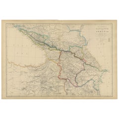
Isthmus of Caucasus and Armenia, Antique Map, Black Sea to Caspian, 1860

Isthmus of Caucasus and Armenia, Antique Map, Black Sea to Caspian, 1860

Located in Langweer, NL

Blackie, Scotland, 1860 Keywords: Caucasus map, Armenia map, Isthmus of Caucasus, antique Caucasus map, Black Sea region, Caspian Sea region, Georgia map, Azerbaijan map, eastern An...

Category

Antique Mid-19th Century British Maps

Materials

Paper

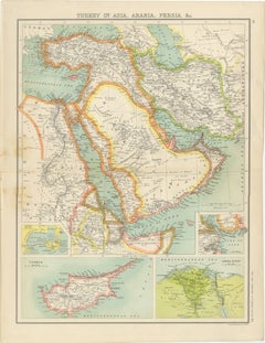
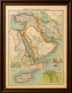
Turkey in Asia, Arabia & Persia Map with Cyprus and Egypt Insets c.1902

Turkey in Asia, Arabia & Persia Map with Cyprus and Egypt Insets c.1902

Located in Langweer, NL

Keywords: Turkey in Asia map, Arabia map, Persia map, Ottoman Empire, Middle East map, Cyprus map, Egypt map, Persian Gulf, Gulf of Aden, Red Sea, Arabia Felix, Iran map, Ottoman Tur...

Category

Early 20th Century British Maps

Materials

Paper

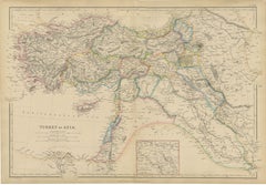
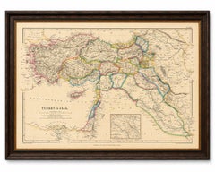
Original Antique Map of Turkey in Asia, Ottoman Empire & Middle East c.1860

Original Antique Map of Turkey in Asia, Ottoman Empire & Middle East c.1860

Located in Langweer, NL

Keywords: Turkey in Asia, Ottoman Empire, Asia Minor, Anatolia, Armenia, Mesopotamia, Syria, Palestine, Holy Land, Jerusalem, Damascus, Baghdad, Arabia, Persian Gulf, Middle East map...

Category

Antique Mid-19th Century British Maps

Materials

Paper

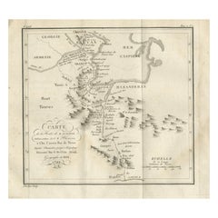
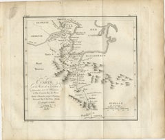
Original Antique Map of the Route of M. Zurabek – Caspian Sea to Isfahan, 1722

Original Antique Map of the Route of M. Zurabek – Caspian Sea to Isfahan, 1722

Located in Langweer, NL

The route runs from Shamakhi (in present-day Azerbaijan) southward along the western coast of the Caspian Sea, through the province of Masanderan (Mazandaran), and onward to the Pers...

Category

Antique Early 18th Century French Maps

Materials

Paper

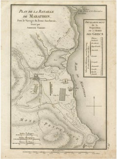
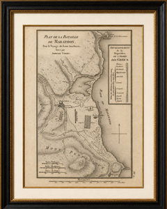
Antique Plan of the Battle of Marathon by Ambroise Tardieu, 1825

Antique Plan of the Battle of Marathon by Ambroise Tardieu, 1825

Located in Langweer, NL

The map is sold unframed. Keywords: Battle of Marathon, Marathon, Ancient Greece, Greco-Persian Wars, Persian Empire, Military Map, Battle Plan, Ambroise Tardieu, Abbé Barthélemy, V...

Category

Antique 1820s French Maps

Materials

Paper

Modern Hand-Knotted Wool Area Rug “Washington” National Mall Map Design, 9x12

Modern Hand-Knotted Wool Area Rug “Washington” National Mall Map Design, 9x12

By Bahram Shabahang

Located in New York, NY

A striking fusion of art, architecture, and cartography, this modern hand-knotted wool area rug “Washington” National Mall Map design, measuring 9' x 12', reimagines the historic McM...

Category

21st Century and Contemporary Indian Modern Persian Style Rugs

Materials

Wool

Ancient World Map, Roman Macedonian Persian Empires, Ferrario 1815

Ancient World Map, Roman Macedonian Persian Empires, Ferrario 1815

Located in Langweer, NL

The inclusion of latitude and longitude lines reflects the scientific cartographic standards of the era, while the elegant Italian title cartouche lends the map a decorative, classic...

Category

Antique Early 19th Century Italian Prints

Materials

Paper

Recent Sales

Handpainted map of Persian Empire

Handpainted map of Persian Empire

Located in Houston, TX

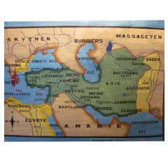
Rare map in the Flemish language is hand-painted on linene. Wood dowel rods are intact. Vintage schoolhouse map/poster

Category

Vintage 1950s Maps

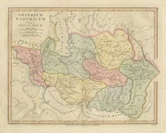
Antique Map of the Ancient Persian Empire – Imperium Persicum, 1817

Antique Map of the Ancient Persian Empire – Imperium Persicum, 1817

Located in Langweer, NL

Antique Map of the Ancient Persian Empire – Imperium Persicum, 1817 This finely engraved and beautifully hand-colored antique map titled Imperium Persicum Antiquum depicts the vast ...

Category

Antique Early 19th Century British Maps

Materials

Paper

Antique Map of the Persian Empire by Schenk, 1705

Antique Map of the Persian Empire by Schenk, 1705

Located in Langweer, NL

Antique map titled 'Imperii Persici Delineatio'. Old map of the Persian Empire, Based Upon the writings of the Dutch Orientalist Adriaan Reland.

Category

Antique 18th Century Maps

Materials

Paper

Original 1588 Map of Arabia and Persia During the Safavid-Ottoman Conflicts

Original 1588 Map of Arabia and Persia During the Safavid-Ottoman Conflicts

Located in Langweer, NL

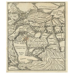
Map of Arabia and the Persian Empire during the Safavid Dynasty by Sebastian Münster (1588) This map, titled "Von den Landern Asie, Das Funfften Buch" (The Lands of Asia, Book Five)...

Category

Antique 16th Century Maps

Materials

Paper

Original Antique Map of the Persian Gulf

Original Antique Map of the Persian Gulf

Sold

H 10.04 in W 16.66 in D 0.02 in

Original Antique Map of the Persian Gulf

Located in Langweer, NL

An attractive antique map of the Persian Gulf, delicately engraved and charmingly colored.

Category

Antique Late 18th Century Maps

Materials

Paper

Rare Map of the Persian Empire, ca. 1579

Rare Map of the Persian Empire, ca. 1579

Sold

H 3.1 in W 4.2 in D 0.002 in

Rare Map of the Persian Empire, ca. 1579

Located in Langweer, NL

This handsome little map covers the Persian Empire between the Caspian Sea and the Persian Gulf and includes much of present-day Afghanistan and Pakistan.

Category

Antique 16th Century European Maps

Materials

Paper

Small but Rare Antique Map of the Persian Empire, 1692

Small but Rare Antique Map of the Persian Empire, 1692

Located in Langweer, NL

Antique map titled 'Perse'. Small engraved map of the Persian Empire, decorated with a simple cartouche and armorial shield.

Category

Antique 17th Century Maps

Materials

Paper

Decoritive Antique Map of Eastern Iran or The Persian Empire, 1734

Decoritive Antique Map of Eastern Iran or The Persian Empire, 1734

Located in Langweer, NL

Fine mid 17th century map of Persia by Nicolas Sanson. The map provides significant detail, dividing the region into its various early ethnic and tribal groups. This 18e century map ...

Category

Antique 1730s Maps

Materials

Paper

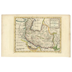
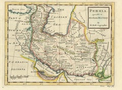
Antique Map of the Persian Empire 'Persia/Iran' by H. Moll, circa 1745

Antique Map of the Persian Empire 'Persia/Iran' by H. Moll, circa 1745

By Herman Moll

Located in Langweer, NL

Map of the Persian Empire extending from Georgia to Afghanistan.

Category

Antique Mid-18th Century English Maps

Materials

Paper

16th Century Map of Saudi Arabia, the Persian Gulf and Red Sea, ca. 1574

16th Century Map of Saudi Arabia, the Persian Gulf and Red Sea, ca. 1574

Located in Langweer, NL

Ptolemaic map of the Arabian Peninsula based on the 1548 map of Giacomo Gastaldi. It covers nearly all of the peninsula, but does not include the head of the Red Sea. The coastlines ...

Category

Antique 16th Century Italian Maps

Materials

Paper

Original Antique Map of Turkey in Asia, 1880

Original Antique Map of Turkey in Asia, 1880

Sold

H 13.59 in W 18.71 in D 0 in

Original Antique Map of Turkey in Asia, 1880

Located in Langweer, NL

This map covers from the Crimea south to Egypt, west as far as the Aegean, and east to the Caspian Sea and the Persian Gulf.

Category

Antique 1880s Maps

Materials

Paper

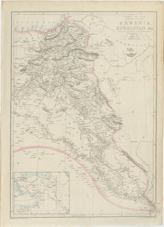
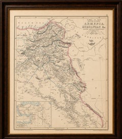
Armenia & Kurdistan Map Showing Ancient Assyria and Mesopotamia, 1850

Armenia & Kurdistan Map Showing Ancient Assyria and Mesopotamia, 1850

Located in Langweer, NL

The piece is sold unframed; any framed images are shown for presentation and interior inspiration only and may not always be to scale. Keywords: Armenia map, Kurdistan map, Assyria ...

Category

Antique Mid-19th Century British Maps

Materials

Paper

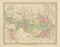
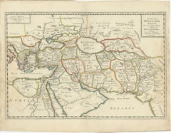
Alexander the Great Expedition Map, Persia India Routes, Wilkinson 1817

Alexander the Great Expedition Map, Persia India Routes, Wilkinson 1817

Located in Langweer, NL

Titled Alexandri Magni Itinera in Expeditione inter Macedoniam, Libyam, et Indiam, the map charts both the overland campaigns and the naval voyage of Nearchus along the Indus and Per...

Category

Antique Early 19th Century British Maps

Materials

Paper

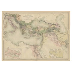
Antique Map of the Ancient World by A & C. Black, 1870

Antique Map of the Ancient World by A & C. Black, 1870

Located in Langweer, NL

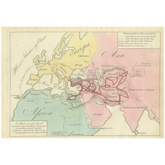
Original antique map of the ancient world with inset maps of the Roman Empire and the Persian Empire.

Category

Antique Late 19th Century Maps

Materials

Paper

Antique Map Covering the Mid-19th Century Claims of The Ottoman Empire, 1884

Antique Map Covering the Mid-19th Century Claims of The Ottoman Empire, 1884

Located in Langweer, NL

This map covers from the Crimea south to Egypt, west as far as the Aegean, and east to the Caspian Sea and the Persian Gulf.

Category

Antique 1880s Maps

Materials

Paper

Empires of Antiquity: The Persian Realm and Beyond Engraved, Published in 1880

Empires of Antiquity: The Persian Realm and Beyond Engraved, Published in 1880

Located in Langweer, NL

The map is titled "ORBIS TERRARUM regni Persici tempore," which translates from Latin to "The World at the Time of the Persian Empire."

Category

Antique 1880s Maps

Materials

Paper

The Expedition of Alexander the Great through Europe, Asia, and Africa, 1654

The Expedition of Alexander the Great through Europe, Asia, and Africa, 1654

Located in Langweer, NL

Keywords: - Pierre Du Val map - Alexander the Great expedition - 17th-century cartography - Antique map of Asia - Historical maps - Conquests of Alexander - Persian Emp...

Category

Antique 1650s Maps

Materials

Paper

You May Also Like

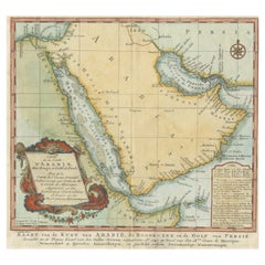
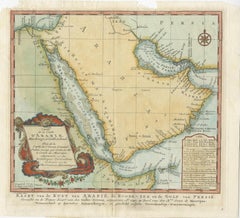
Original Antique Map of Arabia and the Red Sea, circa 1750

Original Antique Map of Arabia and the Red Sea, circa 1750

Located in Langweer, NL

Antique map titled 'Carte de la Coste d'Arabie (..) - Kaart van de Kust van Arabië (..)'. This is a Dutch version, engraved by J. van Schley, of Bellin's map of Arabia and the Red Se...

Category

Antique Mid-18th Century Dutch Maps

Materials

Paper

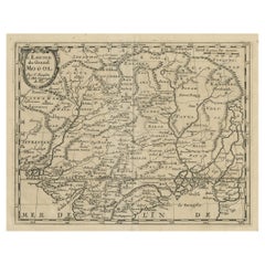
Old Map of the Mughal Empire, Persia in the West to Lake Chimay etc., ca.1685

Old Map of the Mughal Empire, Persia in the West to Lake Chimay etc., ca.1685

Located in Langweer, NL

Antique map titled 'L'Empire du Grand Mogol'. Old map of India and Central Asia. The map extends from Persia in the West to Lake Chimay and the Bay of Bengal, with the Himalaya M...

Category

Antique 1680s Maps

Materials

Paper

Circa 1691 Frederick de Wit Map: Middle East with Arabia, Persia & More

Circa 1691 Frederick de Wit Map: Middle East with Arabia, Persia & More

Located in Langweer, NL

Circa 1691 Frederick de Wit Map: Middle East with Arabia, Persia & More This exquisite hand-colored map, circa 1691, by Frederick de Wit, illustrates the Middle East, spanning from ...

Category

Antique 1690s Maps

Materials

Paper

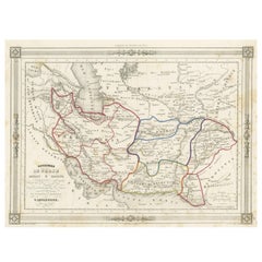
Persia Unveiled: Antique Map of Iran, Afghanistan, and Beyond, 1852

Persia Unveiled: Antique Map of Iran, Afghanistan, and Beyond, 1852

Located in Langweer, NL

The antique map titled 'Royaumes de Perse Herat & Kaboul' is an attractive map of Persia. Here are the key details and features of the map: 1. **Geographic Coverage**: - The map ...

Category

Antique Mid-19th Century French Maps

Materials

Paper

Antique Map of Turkey, Arabia and Persia by Delisle, Amsterdam, c. 1744

Antique Map of Turkey, Arabia and Persia by Delisle, Amsterdam, c. 1744

Located in Langweer, NL

Antique Map of Turkey, Arabia and Persia by Delisle, Amsterdam, c.1744 Subtitle: Covens & Mortier Edition with Original Hand-Coloring Description: Large and highly detailed ant...

Category

Antique Mid-18th Century Dutch Rococo Maps

Materials

Paper

Large Original Vintage Map of Saudi Arabia, circa 1920

Large Original Vintage Map of Saudi Arabia, circa 1920

Located in St Annes, Lancashire

Great map of Saudi Arabia. Unframed. Original color. By John Bartholomew and Co. Edinburgh Geographical Institute. Published, circa 1920.   

Category

Vintage 1920s British Maps

Materials

Paper

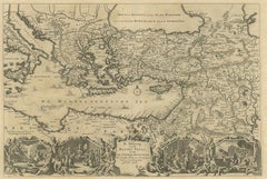
Antique Map Eastern Mediterranean by D. Stoopendaal 'circa 1710'

Antique Map Eastern Mediterranean by D. Stoopendaal 'circa 1710'

Located in Langweer, NL

Antique map Middle East titled 'De Beschryving van de Reysen Pauli en van de Andere Apostelen'. Antique map of the Eastern Mediterranean with details of the travels by Apostle Paul a...

Category

Antique Early 18th Century Dutch Maps

Materials

Paper

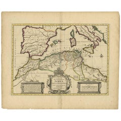
Antique Map of the Northern Coast of Africa and Southern Europe, circa 1745

Antique Map of the Northern Coast of Africa and Southern Europe, circa 1745

By Covens & Mortier

Located in Langweer, NL

Antique map titled 'In Notitiam Ecclesiasticam Africae Tabula Geographica'. Very decorative hand-colored map of the northern coast of Africa, Spain, Italy and the Mediterranean with ...

Category

Antique Mid-18th Century Maps

Materials

Paper

Original Antique Map of Egypt by Van Dùren '1749'

Original Antique Map of Egypt by Van Dùren '1749'

$310

H 10.63 in W 9.85 in D 0.02 in

Original Antique Map of Egypt by Van Dùren '1749'

Located in Langweer, NL

Decorative German antique engraving with titled 'Neue Vorstellung von Aegypten (..)'. It concerns a rare original antique map of Egypt. This map originates from 'Neue Sammlung der me...

Category

Antique Mid-18th Century Maps

Materials

Paper

Antique Miniature Map of Arabia, Johnston 1909, Middle East Ottoman Peninsula

Antique Miniature Map of Arabia, Johnston 1909, Middle East Ottoman Peninsula

Located in Langweer, NL

Antique Map Arabia, Johnston 1909, Middle East Ottoman Peninsula A finely detailed and historically rich map of the Arabian Peninsula, titled “Arabia,” produced by the renowned Scot...

Category

Early 20th Century British Maps

Materials

Paper

Antique Map of Turkey in Asia, Arabia, Persia and Afghanistan by Hachette

Antique Map of Turkey in Asia, Arabia, Persia and Afghanistan by Hachette

Located in Langweer, NL

This antique map of Turkey in Asia, Arabia, Persia, Baluchistan and Afghanistan was published in Paris by the Librairie L. Hachette et Compagnie in the second half of the nineteenth ...

Category

Antique Mid-19th Century French Napoleon III Maps

Materials

Paper

Persia, Armenia & Adjacent Regions: A 17th Century Hand-colored Map by De Wit

Persia, Armenia & Adjacent Regions: A 17th Century Hand-colored Map by De Wit

By Frederick de Wit

Located in Alamo, CA

A large 17th century hand colored copperplate engraved map entitled "Novissima nec non Perfectissima Scandinaviae Tabula comprehendens Regnorum Sueciae, Daniae et Norvegiae distincte...

Category

Antique Late 17th Century Dutch Maps

Materials

Paper

Original Antique Map of Canaan, Armenia, Syria, Mesopotamia and Arabia, 1709

Original Antique Map of Canaan, Armenia, Syria, Mesopotamia and Arabia, 1709

Located in Langweer, NL

Antique map titled 'Descriptio Paradisi et Terrae Canaan'. Original antique map of Canaan, Armenia, Syria, Mesopotamia and Arabia. It displays the Middle East from the eastern Medi...

Category

Antique Early 1700s Dutch Maps

Materials

Paper

Antique Bible Map of the Middle East by A. Schut, 1743

Antique Bible Map of the Middle East by A. Schut, 1743

Located in Langweer, NL

Antique map titled 'De Gelegentheyt van 't Paradys en 't Landt Canaan'. Dutch Bible map covering the region between the Mediterranean and the Persian Gulf, featuring the Garden of Ed...

Category

Antique Mid-18th Century Maps

Materials

Paper

Finely Engraved Historical Map of Middle East and Asia, c.1745

Finely Engraved Historical Map of Middle East and Asia, c.1745

Located in Langweer, NL

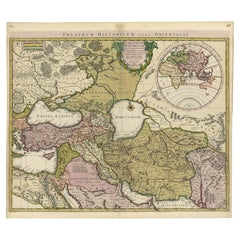
Description: Antique map titled'Theatrum Historicum pars Orientalis.' Finely engraved historical map with a profusion of details. It shows the Middle East and Asia. Decorative ti...

Category

Antique 1740s Maps

Materials

Paper

Antique Map of West Asia, circa 1900

Antique Map of West Asia, circa 1900

$1,355

H 20.67 in W 25.4 in D 0.02 in

Antique Map of West Asia, circa 1900

Located in Langweer, NL

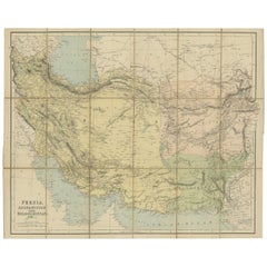
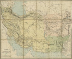
Antique map titled 'Persia, Afghanistan and Beloochistan'. Folding map on linen. Published circa 1900. Stamp below title.

Category

Early 20th Century Maps

Materials

Paper

People Also Browsed

Authentic Old Map of Persia with Original Border Coloring, 1745

Authentic Old Map of Persia with Original Border Coloring, 1745

Located in Langweer, NL

Title: "Kaartje van Persien na de stelling van den Heer Guillaume de L'Isle" Translates to "Map of Persia based on the work of Mr. Guillaume de L'Isle." Guillaume de L'Isle was a p...

Category

Antique 1740s Maps

Materials

Paper

Get Updated with New Arrivals
Save "Persian Maps", and we’ll notify you when there are new listings in this category.

Persian Maps For Sale on 1stDibs

At 1stDibs, there are several options of persian maps available for sale. Frequently made of paper, all persian maps available were constructed with great care. There are all kinds of persian maps available, from those produced as long ago as the 18th Century to those made as recently as the 20th Century. Herman Moll produced beautiful persian maps that are worth considering.

Finding the Right Collectibles-curiosities for You

Antique and vintage collectibles and curiosities can bring whimsy and wonder to any interior. 

Decorating with old scientific instruments, historical memorabilia and vintage musical instruments, as well as other authentic collectibles and curiosities that can be found on 1stDibs, presents an opportunity to create a unique, natural history museum-like atmosphere in your home that can provoke conversation as often as it pays tribute to how far we’ve come in understanding our world. 

And bringing collectibles and curiosities into your space is actually on trend — Wunderkammern, or curiosity cabinets, were all the rage in Europe during the 1500s and continued to have adherents there and in the U.S. in the following centuries. Today, however, they’re experiencing a real surge in popularity and influencing how many interior designers are furnishing and decorating homes — combining contemporary with antique, scientific with tribal, earthly with extraterrestrial, Les Lalanne tables with Flemish tapestries.

The original Wunderkammern were entire rooms filled with objects demonstrating their owners’ worldly knowledge: A proper one included artificiala or preciosa (objets d’art); naturalia (such as skeletons, shells, minerals); exotica (taxidermy or dried plants); and scientifica (scientific instruments), frequently alongside religious relics and ancient artifacts.

Pay tribute to a history of rich and diverse musical traditions that have taken shape all over the world by decorating your home with a collection of antique and vintage musical instruments — with a little help from strong hanging wire or some wall hooks, vintage brass instruments such as a gong, French horn or trumpet can help elevate a home office or complement the efforts you’ve made to ensure a welcoming vibe in your home’s entryway. Bells or antique wind instruments can add provocative metallic contrasts to dark woods as tabletop decorative objects.  

Create an intriguing focal point with Georgian scientific instruments, such as stick barometers with mahogany cases or lacquered brass telescopes. These items stem from an era named for the monarchies of the four King Georges, who ruled England in succession starting in 1714 (plus King William’s reign, which lasted until 1837). Just as there was beautiful jewelry produced during the period that today is coveted by collectors, there is much to be found in the collectibles and curiosities realm too.

Wanderlust, nostalgia and a shared love of good design are contributing factors to certain trends in decorating — just as vintage trunks and luggage have reappeared as furniture or home accents in a bedroom or foyer, decorating with globes, maps or nautical objects is similarly rooted in the allure of travel and a penchant for the stylish finishing touch that collectibles bring to our homes.

Find a wide range of antique and vintage collectibles and curiosities on 1stDibs.
Read More