Pierre François Tardieu More Furniture and Collectibles

French, 1711-1771

Pierre François Tardieu was a very well-known map engraver, geographer and illustrator. Tardieu was born on December 24, 1711, in Paris. He was awarded a bronze medal by King Louis-Phillipe for the accuracy and beauty of his map-making. Tardieu produced many fine works, including maps of Louisiana, Mexico, Russia and Asia in addition to his illustrations of French provinces. Additionally, the mapmaker was the first to engrave steel rather than copper. Overall, he was widely celebrated for his skilled combination of research, detail and technical talent. Tardieu died on January 15, 1771, in Paris.

to
3
2
1

Use search to find more

2
1
3

Use search to find more

2
288
257
221
213

Use search to find more

Creator: Pierre François Tardieu
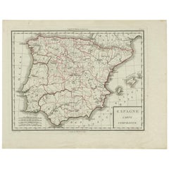
Antique Map of Spain by P.F. Tardieu, circa 1798

Antique Map of Spain by P.F. Tardieu, circa 1798

By Pierre François Tardieu

Located in Langweer, NL

Antique map titled 'Espagne carte comparative', showing river systems, the modern states of Spain and Portugal and the Roman provinces of Lusitania, Beatica & Hispania Tarraconen...

Category

Late 18th Century French Antique Pierre François Tardieu More Furniture and Collectibles

Materials

Paper

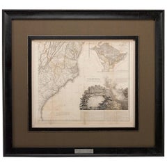
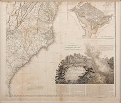
1812 "United States of North America" Two-Sheet Map by Pierre François Tardieu

1812 "United States of North America" Two-Sheet Map by Pierre François Tardieu

By Pierre François Tardieu

Located in Colorado Springs, CO

1812 "United States of Nth America -- Carte des Etats-Unis De L'Amerique Septentrionale" Two-Sheet Map by Tardieu This attractive map, published in Paris in 1812, is one of the most rare large format maps from the period. It features a view of the East Coast of the U.S. from Maryland to just below South Carolina. Additionally, Ellicott’s plan for the City of Washington D.C. is included at the top right and an illustration of Niagara Falls is shown at the bottom right with a description in both French and English. This extremely detailed map not only depicts the mountainous regions of the southeastern U.S., but also includes names of regions, rivers, and towns. Based on the first state of Arrowsmith’s 4-sheet map of the United States, this map is completely engraved by Tardieu in Paris and showcases high quality engravings. This detailed map of the recently independent United States includes one of the largest and earliest examples of the Ellicott plan of Washington DC. The artist, Pierre François Tardieu (PF Tardieu) was a very well-known map engraver, geographer, and illustrator. Awarded a bronze medal by King Louis-Phillipe for the accuracy and beauty of his map-making, Tardieu produced many fine works including maps of Louisiana...

Category

1810s French Antique Pierre François Tardieu More Furniture and Collectibles

Materials

Paper

Related Items
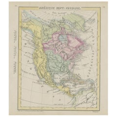
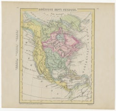
Small Map of the United States, circa 1870

Small Map of the United States, circa 1870

$84

H 6.82 in W 7.37 in D 0.02 in

Small Map of the United States, circa 1870

Located in Langweer, NL

Antique map titled 'Amérique septe. Physique'. Small map of the United States. lithographed by C. Callewaert brothers in Brussels circa 1870.

Category

Mid-19th Century Belgian Antique Pierre François Tardieu More Furniture and Collectibles

Materials

Paper

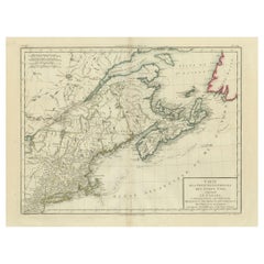
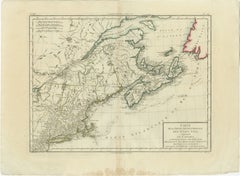
Antique Map of the Northeastern United States and Canada by Tardieu, 1802

Antique Map of the Northeastern United States and Canada by Tardieu, 1802

Located in Langweer, NL

This antique map titled "Carte de la Partie Septentrionale des Etats Unis," created by Pierre Antoine Tardieu, depicts the northeastern part of the United States and parts of Canada....

Category

Early 1800s Antique Pierre François Tardieu More Furniture and Collectibles

Materials

Paper

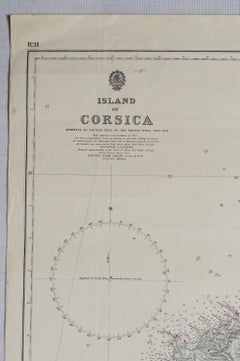
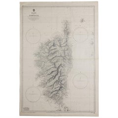
Old Nautical Map of Corsica

Old Nautical Map of Corsica

$710

H 40.95 in W 27.96 in D 0.04 in

Old Nautical Map of Corsica

Located in Alessandria, Piemonte

Old map of Corsica isle, surveyed by Captain Hell, of the French Royal Navy in 1824, engraved and published on 1874, with additions and corrections to 1...

Category

Early 19th Century English Other Antique Pierre François Tardieu More Furniture and Collectibles

Materials

Paper

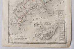
Antique Map of Principality of Monaco, Late 19th Century, Paper Print

Antique Map of Principality of Monaco, Late 19th Century, Paper Print

$343Sale Price|62% Off

H 22.84 in W 15.75 in D 0.04 in

Antique Map of Principality of Monaco, Late 19th Century, Paper Print

By Antonio Vallardi Editore

Located in Alessandria, Piemonte

"Old Geographical Atlas of Italy - Topographic map of ex-Principality of Monaco" - ediz Vallardi - Milano - A somewhat special edition --- ref. ST/619 -  

Category

Late 19th Century Italian Other Antique Pierre François Tardieu More Furniture and Collectibles

Materials

Paper

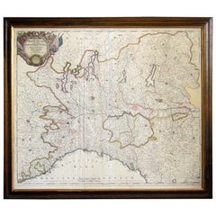
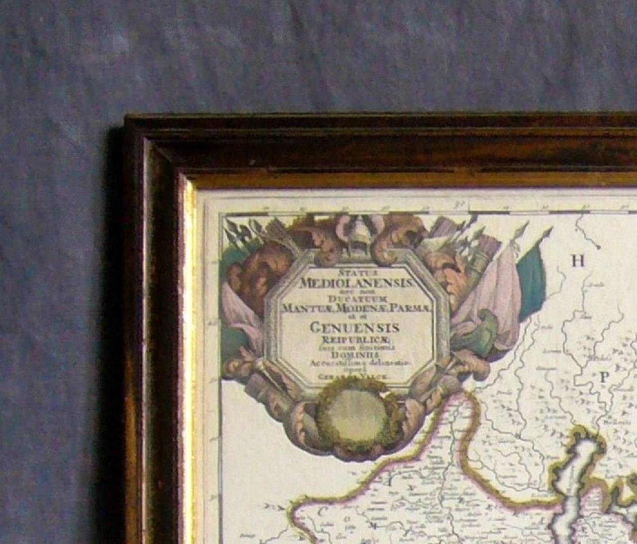
Map of the Republic of Genoa

Map of the Republic of Genoa

$750

H 22.5 in W 25.75 in D 0.75 in

Map of the Republic of Genoa

Located in New York, NY

Framed antique hand-coloured map of the Republic of Genoa including the duchies of Mantua, Modena, and Parma. Europe, late 18th century. Dimension: 25...

Category

Late 18th Century European Antique Pierre François Tardieu More Furniture and Collectibles

Antique Map of The United States of North America, 1882

Antique Map of The United States of North America, 1882

Located in Langweer, NL

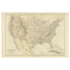
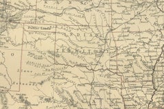
This is a historical map titled "The United States of North America, Central Part" from the 1882 Blackie Atlas. It depicts the continental United States with a high level of detail, ...

Category

1880s British Antique Pierre François Tardieu More Furniture and Collectibles

Materials

Paper

Antique 18th Century Map of the Province of Pensilvania 'Pennsylvania State'

Antique 18th Century Map of the Province of Pensilvania 'Pennsylvania State'

Located in Philadelphia, PA

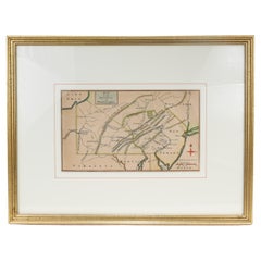
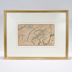
A fine antique of the colony of Pennsylvania. Noted at the top of the sheet as a 'Map of the province of Pensilvania'. This undated and anonymous map is thought to be from the Gentleman's Magazine, London, circa 1775, although the general appearance could date it to the 1760's. The southern boundary reflects the Mason-Dixon survey (1768), the western boundary is placed just west of Pittsburgh, and the northern boundary is not marked. The map has a number of reference points that likely refer to companion text and appear to be connected to boundaries. The western and southern boundaries are marked Q, R, S, for example. A diagonal line runs from the Susquehanna R to the Lake Erie P. A broken line marked by many letters A, B, N, O, etc., appears in the east. There are no latitude or longitude markings, blank verso. Framed in a shaped contemporary gilt wooden frame and matted under a cream colored matte. Bearing an old Graham Arader Gallery...

Category

18th Century British American Colonial Antique Pierre François Tardieu More Furniture and Collectibles
Materials

Paper

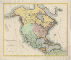
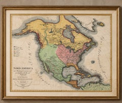
Large Antique Map of North America, United States & Canada, 1806

Large Antique Map of North America, United States & Canada, 1806

Located in Langweer, NL

TITLE: Large Antique Map of North America, United States & Canada, 1806 DESCRIPTION: Large and highly decorative original hand-colored copper engra...

Category

Early 19th Century Austrian Neoclassical Antique Pierre François Tardieu More Furniture and Collectibles
Materials

Paper

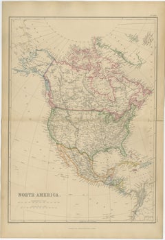
Antique Map of North America, Canada, United States and Mexico, 1860

Antique Map of North America, Canada, United States and Mexico, 1860

$327

H 21.26 in W 15.36 in D 0.01 in L 21.26 in

Antique Map of North America, Canada, United States and Mexico, 1860

Located in Langweer, NL

Antique Map of North America, Canada, United States and Mexico, 1860 This impressive nineteenth-century map of North America was published by W. G. Blackie of Scotland around 1860 a...

Category

Mid-19th Century British Antique Pierre François Tardieu More Furniture and Collectibles
Materials

Paper

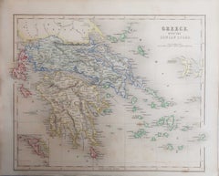
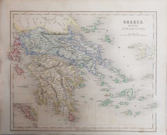
Original Antique Map of Greece, Grattan and Gilbert, 1843

Original Antique Map of Greece, Grattan and Gilbert, 1843

Located in St Annes, Lancashire

Great map of Greece Drawn and engraved by J.Archer Published by Grattan and Gilbert. 1843 Original colour Unframed. Free shipping

Category

1840s English Antique Pierre François Tardieu More Furniture and Collectibles
Materials

Paper

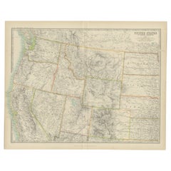
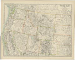
Antique Map of the United States 'North West' by Johnston, '1909'

Antique Map of the United States 'North West' by Johnston, '1909'

Located in Langweer, NL

Antique map titled 'United States of North America'. Original antique map of the United States of North America ( North West ). This map originates from the ‘Royal Atlas of Modern Ge...

Category

Early 20th Century Pierre François Tardieu More Furniture and Collectibles
Materials

Paper

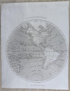
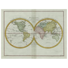
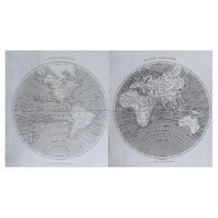
Original Antique Map of The World by Thomas Clerk, 1817

Original Antique Map of The World by Thomas Clerk, 1817

$90 / set

H 10.25 in W 8.25 in D 0.07 in

Original Antique Map of The World by Thomas Clerk, 1817

Located in St Annes, Lancashire

Great map of The Eastern and Western Hemispheres On 2 sheets Copper-plate engraving Drawn and engraved by Thomas Clerk, Edinburgh. Published by Mackenzie And Dent, 1817 ...

Category

1810s English Antique Pierre François Tardieu More Furniture and Collectibles
Materials

Paper

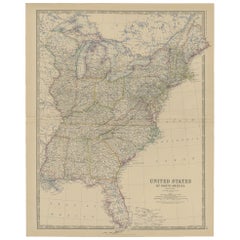
Antique Map of the United States of North America, c.1882

Antique Map of the United States of North America, c.1882

Located in Langweer, NL

Antique map titled 'United States of North America'. Old map of the United States of North America. This map originates from 'The Royal Atlas of Modern Geography, Exhibiting, in a Se...

Category

1880s Antique Pierre François Tardieu More Furniture and Collectibles
Materials

Paper

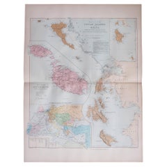
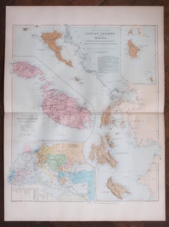
Large Original Antique Map of The Greek Islands. 1894

Large Original Antique Map of The Greek Islands. 1894

Located in St Annes, Lancashire

Superb Antique map of The Greek Islands Published Edward Stanford, Charing Cross, London 1894 Original colour Good condition Unframed. Free shipping

Category

1890s English Antique Pierre François Tardieu More Furniture and Collectibles
Materials

Paper

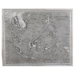
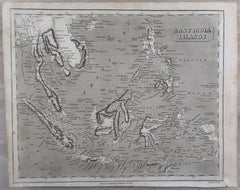
Original Antique Map of South East Asia by Thomas Clerk, 1817

Original Antique Map of South East Asia by Thomas Clerk, 1817

Located in St Annes, Lancashire

Great map of South East Asia Copper-plate engraving Drawn and engraved by Thomas Clerk, Edinburgh. Published by Mackenzie And Dent, 1817 Unframed.

Category

1810s English Antique Pierre François Tardieu More Furniture and Collectibles
Materials

Paper

Previously Available Items
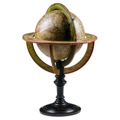
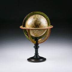
Early 19th Century Globe by L. Vivien

Early 19th Century Globe by L. Vivien

Sold

H 20.48 in W 13.78 in D 13.78 in

Early 19th Century Globe by L. Vivien

By M. Vivien de Saint Martin, Pierre François Tardieu

Located in Pease pottage, West Sussex

Extraordinary early 19th century globe Untouched original condition. France Circa 1830 Louis Vivien de Saint Martin was Establish in Paris before 1823 when he edited an electoral map...

Category

Early 19th Century French Antique Pierre François Tardieu More Furniture and Collectibles
Materials

Wood

Pierre François Tardieu more furniture and collectibles for sale on 1stDibs.
Pierre François Tardieu more furniture and collectibles are available for sale on 1stDibs. These distinctive items are frequently made of paper and are designed with extraordinary care. There are many options to choose from in our collection of Pierre François Tardieu more furniture and collectibles, although black editions of this piece are particularly popular. If you’re looking for additional options, many customers also consider more furniture and collectibles by Nicolas Sanson, Pierre Le Faguays, Coduri of Lyon, and France. Prices for Pierre François Tardieu more furniture and collectibles can differ depending upon size, time period and other attributes — on 1stDibs, these items begin at $123 and can go as high as $5,750, while a piece like these, on average, fetch $521.