Want more images or videos?
Request additional images or videos from the seller.

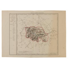
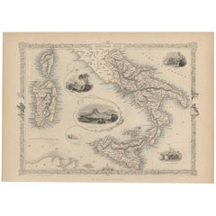
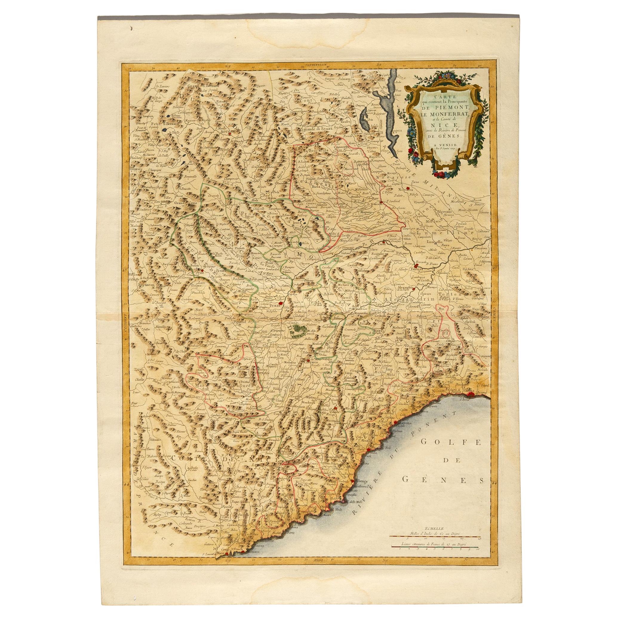
Antique Map of Principality of Monaco, Late 19th Century, Paper Print

$346.97
$907.6762% Off
£258.78
£682.4262% Off
€370.88VAT Included
€80062% Off
CA$485.08
CA$1,276.5262% Off
A$497.39
A$1,290.3262% Off
CHF 283.95
CHF 753.0862% Off
MX$6,446.30
MX$16,957.8962% Off
NOK 3,226.08
NOK 8,470.6662% Off
SEK 3,395.05
SEK 9,034.7762% Off
DKK 2,317.43
DKK 6,099.3262% Off

About the Item

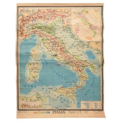
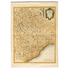
"Old Geographical Atlas of Italy - Topographic map of ex-Principality of Monaco" - ediz Vallardi - Milano - A somewhat special edition --- ref. ST/619 -
  • Creator:
  • Dimensions:
    Height: 22.84 in (58 cm)Width: 15.75 in (40 cm)Depth: 0.04 in (1 mm)
  • Style:
    Other (In the Style Of)
  • Materials and Techniques:
    Paper,Other
  • Place of Origin:
  • Period:
  • Date of Manufacture:
    1859
  • Condition:
  • Seller Location:
    Alessandria, IT
  • Reference Number:
    1stDibs: LU1379223166852

More From This Seller

View All
Antique Map of Monaco by Bruno Santini, French, 1779, Collectible Art

Antique Map of Monaco by Bruno Santini, French, 1779, Collectible Art

By Bruno Santini

Located in Alessandria, Piemonte

ST/609 - Interesting antique color map of Monaco Principality in French language : "Carte qui contient le Principauté de Piémont, le Monferrat et la comté de...

Category

Antique Late 18th Century Italian Other Maps

Materials

Paper
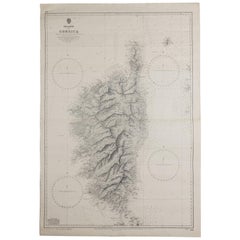
Old Nautical Map of Corsica

Old Nautical Map of Corsica

Located in Alessandria, Piemonte

Old map of Corsica isle, surveyed by Captain Hell, of the French Royal Navy in 1824, engraved and published on 1874, with additions and corrections to 1...

Category

Antique Early 19th Century English Other Prints

Materials

Paper

Ancient National Atlas of France Print, Engraved, Early 19th Century

Ancient National Atlas of France Print, Engraved, Early 19th Century

Located in Alessandria, Piemonte

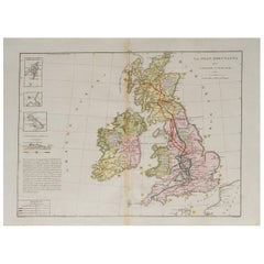
Ancient National Atlas of France with the department of Marengo: a rare French etching dated 1806. ST/178.

Category

Antique Early 19th Century French Other Prints

Materials

Paper

Basin of the Mediterranean with Maltese Islands

Basin of the Mediterranean with Maltese Islands

Located in Alessandria, Piemonte

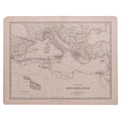
Basin of the Mediterranean with Maltese Islands by Keith Johnston F.R.S.E., Edinburgh & London - with Submarine Telegraph Lines and Railways. ep. '800 - cm. 47,8 x 37. ref. ST/521

Category

Antique 1840s English Prints

Materials

Paper

You May Also Like

Antique Map of the French Colony of Algeria by V. Levasseur, 1854

Antique Map of the French Colony of Algeria by V. Levasseur, 1854

By Victor Levasseur

Located in Langweer, NL

Antique map titled 'Algérie, Colonie Francaise'. Shows the region divided into the administrative provinces of Oban, Alger, and Constantine. The map proper is surrounded by elaborate...

Category

Antique Mid-19th Century Maps

Materials

Paper

Antique Map of Bourbon/Reunion 'France' by V. Levasseur, 1854

Antique Map of Bourbon/Reunion 'France' by V. Levasseur, 1854

By Victor Levasseur

Located in Langweer, NL

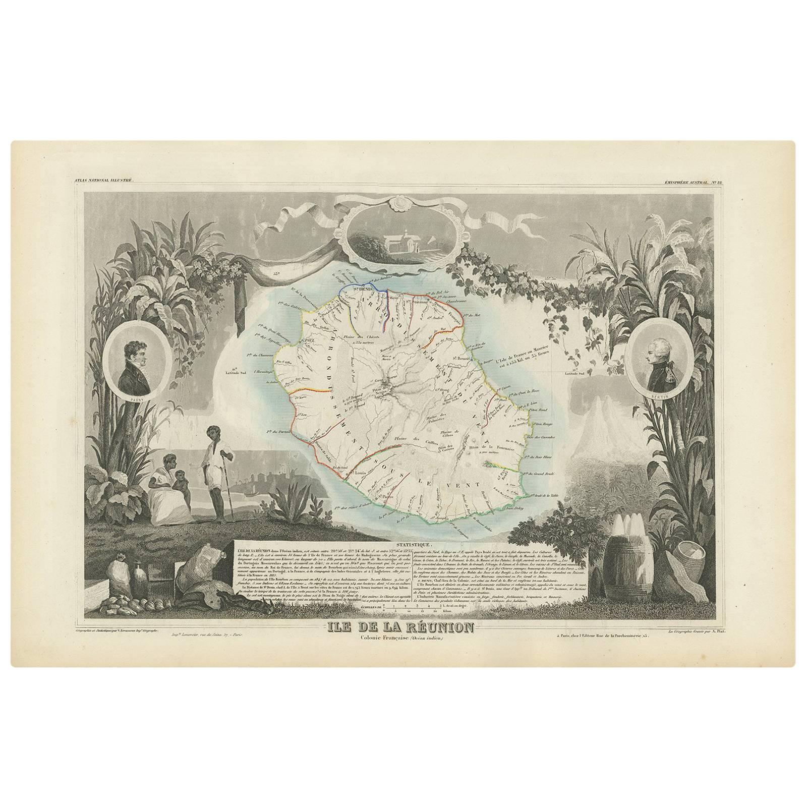
Antique map titled 'Ile de la Réunion'. Map of the French department of Ile. Bourbon or Reunion. Bourbon, or Reunion, is a volcanic island off the coast of Africa. It is one of Franc...

Category

Antique Mid-19th Century French Maps

Materials

Paper

Antique Map of Hérault ‘France’ by V. Levasseur, 1854

Antique Map of Hérault ‘France’ by V. Levasseur, 1854

Located in Langweer, NL

Antique map titled 'Dépt. de l'Hérault'. Map of the French department of Herault, France. This area is home to a wide variety of vineyards and is part of the larger Languedoc wine-gr...

Category

Antique Mid-19th Century Maps

Materials

Paper

Antique Map of Northern Africa by Perthes, 1848

Antique Map of Northern Africa by Perthes, 1848

Located in Langweer, NL

Antique map titled 'Africa Propria (..)'. Old map of North Africa and the region of Babylon originating from 'Orbis Terrarum Antiquus in usum Scholarum'. Artists and Engravers: Publi...

Category

Antique 19th Century Maps

Materials

Paper

Antique Map of the Pyrenees Orientales 'France' by V. Levasseur, 1854

Antique Map of the Pyrenees Orientales 'France' by V. Levasseur, 1854

By Victor Levasseur

Located in Langweer, NL

Antique map titled 'Dépt. des Pyréneés Orles'. Map of the French department of Pyrenees Orientales, France. This area is a well-known wine producing region. A wide variety of wines c...

Category

Antique Mid-19th Century Maps

Materials

Paper