
Want more images or videos?
Request additional images or videos from the seller.

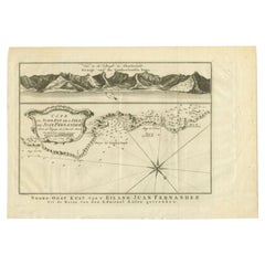
Antique Map of Juan Fernandez Island by Anson '1749'

$225.67
£170.54
€200VAT Included
CA$321.75
A$331.70
CHF 188.47
MX$4,198.71
NOK 2,158.23
SEK 2,261.02
DKK 1,525.02

About the Item

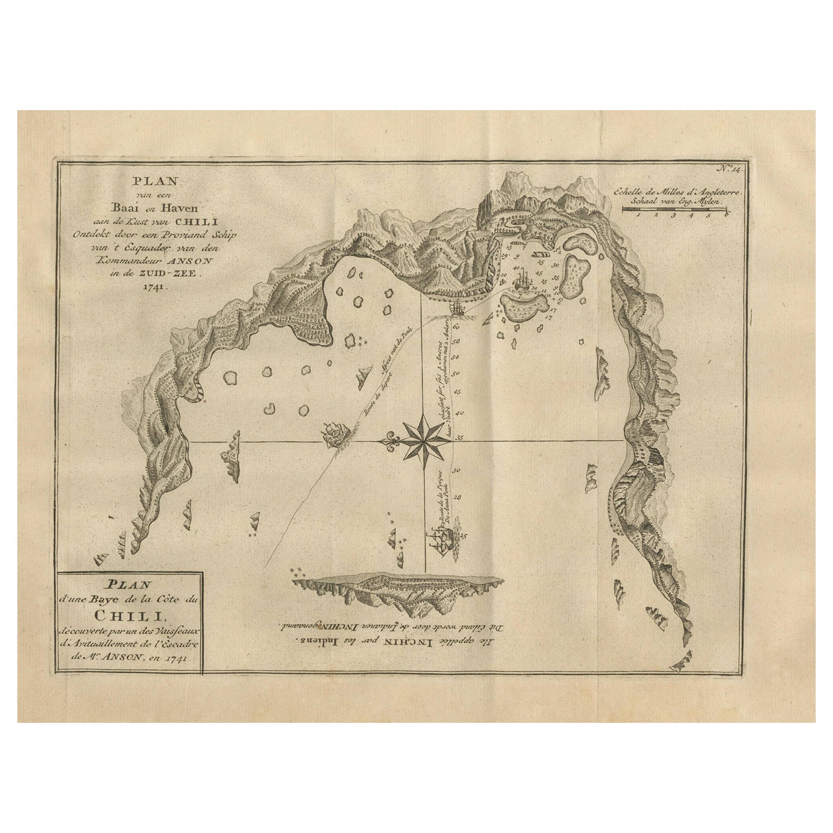
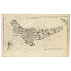
Antique map titled 'l'Ile de Juan Fernandes dans la Mer du Sud (..) - Het Eiland Juan Fernandes in de Zuid Zee (..)'. This map depicts Juan Fernandez Island in the Southern Sea. This map originates from 'Reize rondsom de Werreld (..)' by George Anson, published 1749. The Juan Fernández Islands are a sparsely inhabited island group in the South Pacific Ocean reliant on tourism and fishing. Situated 670 km (362 nmi; 416 mi) off the coast of Chile, they are composed of three main volcanic islands: Robinson Crusoe, Alejandro Selkirk and Santa Clara. The group is part of Insular Chile. The islands are primarily known for having been the home to the marooned sailor Alexander Selkirk for more than four years from 1704, which may have inspired Daniel Defoe's Robinson Crusoe. Most of the archipelago's present-day inhabitants reside on Robinson Crusoe Island, and mainly in the capital, San Juan Bautista, located at Cumberland Bay on the island's north coast. The group of islands is part of Chile's Valparaíso Region (which also includes Easter Island) and, along with the Desventuradas Islands, forms one of the nine communes of Valparaíso Province. The islands are named after Juan Fernández, the explorer who discovered them in the 1570s.
  • Dimensions:
    Height: 10.44 in (26.5 cm)Width: 16.54 in (42 cm)Depth: 0.02 in (0.5 mm)
  • Materials and Techniques:
  • Period:
  • Date of Manufacture:
    1749
  • Condition:
    Age-related toning, original folding lines. Shows some wear and staining, blank verso. Please study images carefully.
  • Seller Location:
    Langweer, NL
  • Reference Number:
    Seller: BG-11589-61stDibs: LU3054323138922

More From This Seller

View All
Antique Map of Juan Fernandez Island by Anson, c.1740

Antique Map of Juan Fernandez Island by Anson, c.1740

Located in Langweer, NL

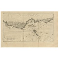
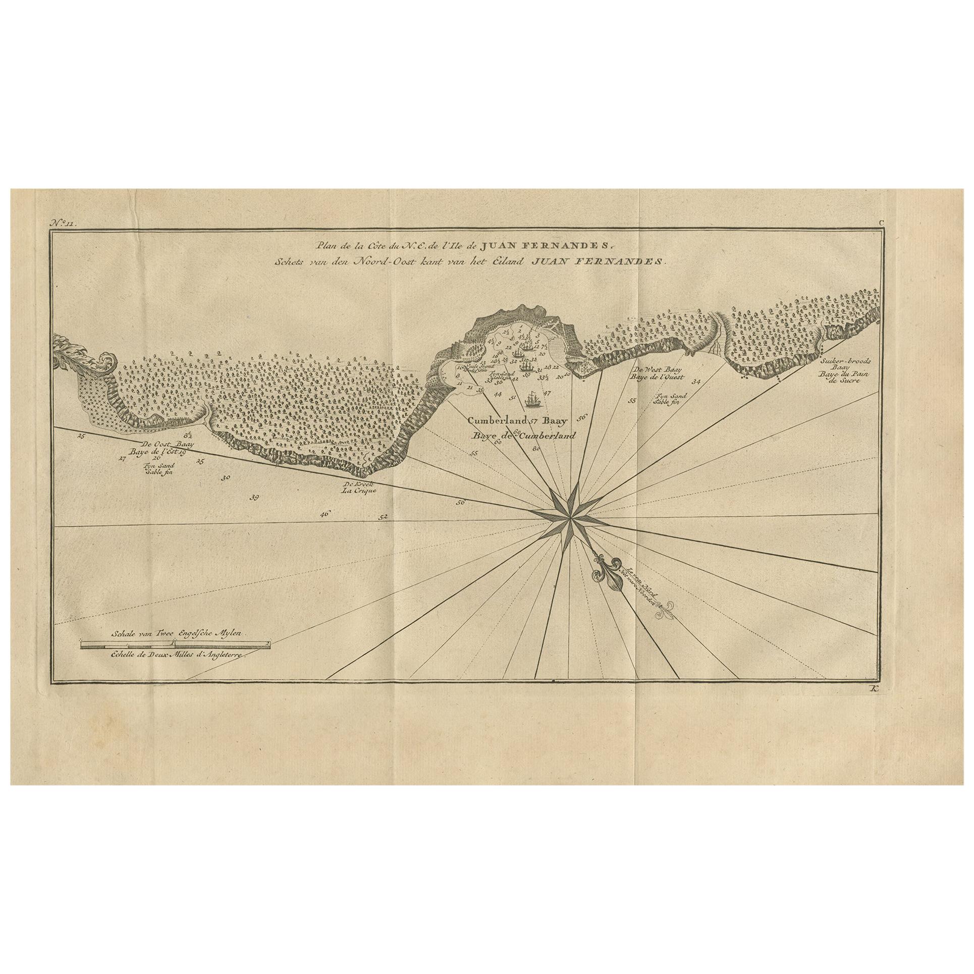
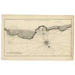
Antique map titled 'Plan de la Côte du N.E. de l 'Ile de Juan Fernandes'. Map of the northeast coast of the island of Juan Fernandez with Cumberland Bay, South America. In 1740 Ans...

Category

Antique 18th Century English Maps

Materials

Paper
Antique Map of Juan Fernandez, Chile, c.1740

Antique Map of Juan Fernandez, Chile, c.1740

Located in Langweer, NL

Antique map titled 'l'Ile de Juan Fernandes dans la Mer du Sud (..)'. This map depicts Juan Fernandez Island in the Southern Sea. Source unknown, to be determined. Artists and En...

Category

Antique 18th Century Maps

Materials

Paper

Antique Map of the Coast of Juan Fernandez by Van Schley, 1757

Antique Map of the Coast of Juan Fernandez by Van Schley, 1757

Located in Langweer, NL

Antique map titled 'Cote du Nord Est de l'Isle de Juan Fernandez (..).' Map of the Chilean South Pacific archipelago of the Juan Fernandez Islands. This island was made famous by Dan...

Category

Antique 18th Century Maps

Materials

Paper

Antique Map of Coiba Island by Anson '1749'

Antique Map of Coiba Island by Anson '1749'

Located in Langweer, NL

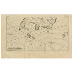
Antique map titled 'Plan van de Oost-Zyde van het Eiland Quibo'. Original antique map of the eastside of Coiba Island (Quibo), Panama, showing the shoreline around Port de Dames indi...

Category

Antique Mid-18th Century Maps

Materials

Paper

Antique Map of Juan Fernandez Island and Cumberland Bay, Chile - ca.1749

Antique Map of Juan Fernandez Island and Cumberland Bay, Chile - ca.1749

Located in Langweer, NL

Antique map titled 'Plan de la Côte du N.E. de l 'Ile de Juan Fernandes - Schets van den Noord-Oost kant van het eiland Juan Fernandes '. This map depicts the northeast coast of the ...

Category

Antique Mid-18th Century French Maps

Materials

Paper

Antique Map of Anjouan Island by Valentijn, 1726

Antique Map of Anjouan Island by Valentijn, 1726

By F. Valentijn

Located in Langweer, NL

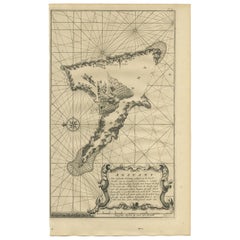
Antique map titled 'Anzuany'. This map depicts the island of Anjouan, one of the Comoros islands situated between Madagascar and Africa. The map is oriented with north to the left wi...

Category

Antique Early 18th Century Dutch Maps

You May Also Like

West Coast of Africa, Guinea & Sierra Leone: An 18th Century Map by Bellin

West Coast of Africa, Guinea & Sierra Leone: An 18th Century Map by Bellin

By Jacques-Nicolas Bellin

Located in Alamo, CA

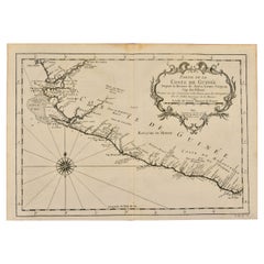
Jacques Bellin's copper-plate map entitled "Partie de la Coste de Guinee Dupuis la Riviere de Sierra Leona Jusquau Cap das Palmas", depicting the coast of Guinea and Sierra Leone in ...

Category

Antique Mid-18th Century French Maps

Materials

Paper

Original Antique Map of South America. C.1780

Original Antique Map of South America. C.1780

Located in St Annes, Lancashire

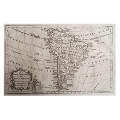
Great map of South America Copper-plate engraving Published C.1780 Two small worm holes to left side of map Unframed.

Category

Antique Early 1800s English Georgian Maps

Materials

Paper

1627 Hendrik Hondius Map Entitled "Vltoniae Orientalis Pars, " Ric.a009

1627 Hendrik Hondius Map Entitled "Vltoniae Orientalis Pars, " Ric.a009

Located in Norton, MA

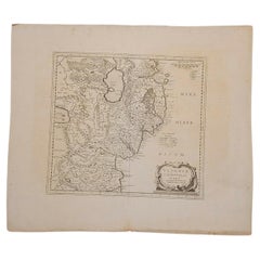
1627 Hendrik Hondius map entitled "Vltoniae orientalis pars," Ric.a009 Title: Vltoniae orientalis : pars Title (alt.) : Ultoniae orientalis pars Creator: Mercator, Gerh...

Category

Antique 17th Century Dutch Maps

Materials

Paper

Southern Greece: A Large 17th C. Hand-colored Map by Sanson and Jaillot

Southern Greece: A Large 17th C. Hand-colored Map by Sanson and Jaillot

By Nicolas Sanson

Located in Alamo, CA

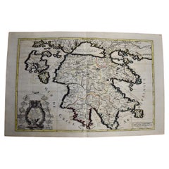
This large original hand-colored copperplate engraved map of southern Greece and the Pelopponese Peninsula entitled "La Moree Et Les Isles De Zante, Cefalonie, Ste. Marie, Cerigo & C...

Category

Antique 1690s French Maps

Materials

Paper

California, Alaska and Mexico: 18th Century Hand-Colored Map by de Vaugondy

California, Alaska and Mexico: 18th Century Hand-Colored Map by de Vaugondy

By Didier Robert de Vaugondy

Located in Alamo, CA

This is an 18th century hand-colored map of the western portions of North America entitled "Carte de la Californie et des Pays Nord-Ouest separés de l'Asie par le détroit d'Anian, ex...

Category

Antique 1770s French Maps

Materials

Paper